Starting point: Kozji hrbet (1290 m)
| Latitude/Longitude: | 46,2503°N 13,9872°E |
| |
Walking time: 1 h
Difficulty: easy unmarked way
Elevation gain: 312 m
Elevation difference along the route: 312 m
Map: Škofjeloško in Cerkljansko hribovje 1:50.000
Recommended equipment (summer):
Recommended equipment (winter): ice axe, crampons
Views: 8.115
 | 1 person like this post |
Access to starting point:
A) From Železniki or Podbrdo we drive to Soriška planina and continue driving towards Bohinjska Bistrica. After approximately 400 meters of descent a macadam road branches off sharply to the left, which we then follow for approximately 2 km to a slight right turn, where there is a smaller parking lot.
B) From Bohinjska Bistrica we drive towards Soriška planina. Just about 400 meters before the parking lot on Soriška planina a forest road branches off to the right. Further, we follow the description above.
Route description:
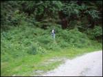
At the turn, we look for a footpath which in a moderate ascent through the forest in 15 minutes brings us to the mountain pasture Planina za Šavnikom.
Ahead we cross the mountain pasture and the path leads us into a short stretch of forest. A little higher, the path brings us onto wide grassy slopes between Šavnik on the right and Možic on the left. And only a little further ahead of us, we notice a hunting observatory, near which there is a junction. We continue sharply left (straight Vrh Bače, right Šavnik) on the path which takes us into the forest. The path then ascends more steeply and higher brings us out of the forest, where there is the next junction.
Here we again continue sharply left following the signs for Možic (slightly right Lajnar). The increasingly panoramic path then brings us in a few further minutes of walking to the summit.
Photos:
 1
1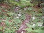 2
2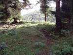 3
3 4
4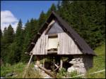 5
5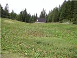 6
6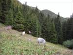 7
7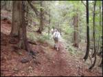 8
8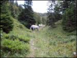 9
9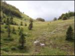 10
10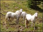 11
11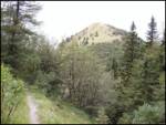 12
12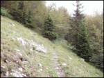 13
13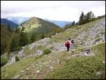 14
14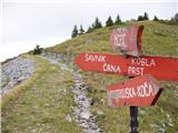 15
15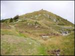 16
16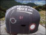 17
17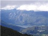 18
18
Discussion about the trip Kozji hrbet - Možic
To post a comment you must log in:
If you do not yet have a username, you must first
register.