Kozje - Koprivnik (Bohor) (via Vetrnik)
Starting point: Kozje (276 m)
| Latitude/Longitude: | 46,0727°N 15,5571°E |
| |
Route name: via Vetrnik
Walking time: 3 h 10 min
Difficulty: easy marked way
Elevation gain: 708 m
Elevation difference along the route: 770 m
Map: Posavsko hribovje Boč - Bohor 1:50.000
Recommended equipment (summer):
Recommended equipment (winter):
Views: 3.922
 | 2 people like this post |
Access to starting point:
A) Dramlje exit on the highway and through Šentjur and Lesično to Kozje.
B) From the direction of Podčetrtek right in the settlement Prelasko through Buč to Kozje.
C) From the direction of Bistrica ob Sotli left in the settlement Prelasko through Buč to Kozje.
D) From the direction of Brestanica, Senovo and Podsreda to Kozje.
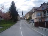
Kozje is the main settlement of Kozjansko and relatively easily accessible from several directions.
Route description:
After a short sightseeing of the settlement Kozje you go from the center in the direction of Bistriški graben on the asphalt road to the turn-off to the left towards Vetrnik. In the part to the turn-off for Vetrnik the path is also Mary's pilgrimage path and marked with the signs of that path. The path higher towards Vetrnik is a well-hardened forest road which is quite steeply winding higher and it is easy to follow. When you reach the asphalt, which leads somewhere on the upper ridge, you turn right and you step also on Zasavje long distance trail, which is additionally marked with "Z". Follow the signs and below the less known peaks Raskože, Pokojni vrh, Zajčja gorca and Vrh you pass on the forest road. In the settlement Jelše from the left near the NOB monument a mountain path from Senovo through Reštanj joins. You continue steeply uphill on the forest road by the only homestead on this part of the path and soon after the turn-off towards Oslica you reach 808 meters high Brest, where from the right joins the path from Lesično. The path further is a common path of Zasavje long distance trail and XIV division trail which you follow all the way to a grassy plain or forest road which leads towards Planina pri Sevnici. Signpost and marked path point us to the right higher on Koprivnik.

Photos:
 1
1 2
2 3
3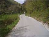 4
4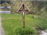 5
5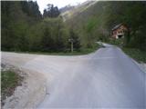 6
6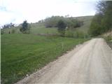 7
7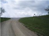 8
8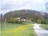 9
9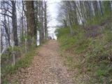 10
10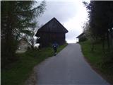 11
11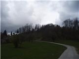 12
12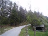 13
13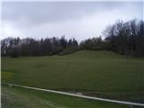 14
14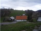 15
15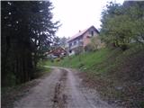 16
16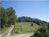 17
17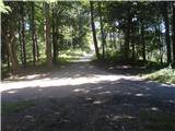 18
18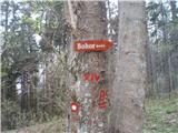 19
19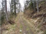 20
20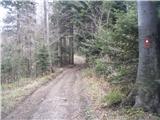 21
21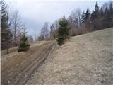 22
22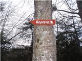 23
23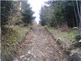 24
24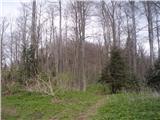 25
25 26
26
Discussion about the trip Kozje - Koprivnik (Bohor) (via Vetrnik)
To post a comment you must log in:
If you do not yet have a username, you must first
register.