Kovačev Panj - Uglješin Vrh
Starting point: Kovačev Panj (620 m)
Walking time: 5 h
Difficulty: partly demanding marked way
Elevation gain: 1239 m
Elevation difference along the route: 1239 m
Map: Planinarska i biciklistička turistička mapa, Montenegro, NP Durmitor, Piva, BiH, NP Sutjeska
Recommended equipment (summer):
Recommended equipment (winter): ice axe, crampons
Views: 1.484
 | 1 person like this post |
Access to starting point:
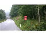
From Sarajevo, we drive towards Foča and just before it we turn towards Gacko and Tjentište (right road). We continue to Tjentište and a few kilometres after the sign for the end of the settlement, on the right side we see mountain signs and the sign for Kovačev Panj. Approximately 250 m after the signs, we can park at a small parking lot on the left side of the road.
Route description:
From the parking lot, we return to the signs and follow the markings uphill. The path ascends steeply, partly disappears, but is fairly well marked. After about three hours, we arrive at Lake Donje Bare (1450 m). Here we can rest at the hunting hut or at the resting place a few minutes away, from which the monument to the II. Dalmatian Brigade is visible. It is accessible across the meadow from the resting place along a partly trodden path. From the resting place, we continue along the road and at the first intersection of four roads turn left. The markings are poorly visible due to logging, so be careful! We follow the markings and the road, when the road ends we go along the trodden path across the meadow. After one hour, as we approach the steep slope, we see Lake Gornje Bare (1640 m) on the left. We continue the path through steep forest and across the meadow, where the path often disappears, so follow Uglješin Vrh, which is on our right side. After approximately another hour, we arrive at the summit, where a wonderful view of Zelengora opens up.
WARNING:
The path disappears in some places, so it is necessary to be very careful with the markings and footprints of other hikers!

Along the route: Donje Bare (1450m), Spomenik II. Dalmatinski brigadi (1450m), Gornje Bare (1640m)
Photos:
 1
1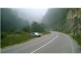 2
2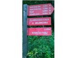 3
3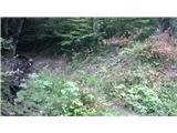 4
4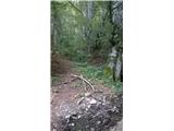 5
5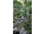 6
6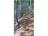 7
7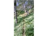 8
8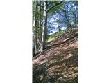 9
9 10
10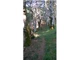 11
11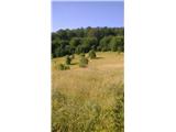 12
12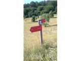 13
13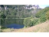 14
14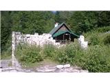 15
15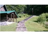 16
16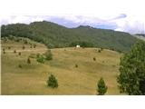 17
17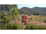 18
18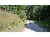 19
19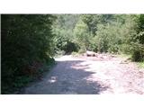 20
20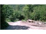 21
21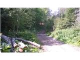 22
22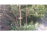 23
23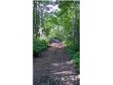 24
24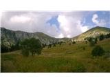 25
25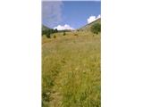 26
26 27
27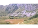 28
28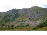 29
29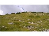 30
30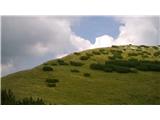 31
31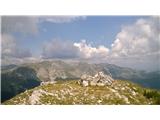 32
32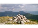 33
33
Discussion about the trip Kovačev Panj - Uglješin Vrh
To post a comment you must log in:
If you do not yet have a username, you must first
register.