Kočevje - Požgani hrib (Grajska way)
Starting point: Kočevje (464 m)
| Latitude/Longitude: | 45,633°N 14,8585°E |
| |
Route name: Grajska way
Walking time: 1 h 50 min
Difficulty: easy marked way
Elevation gain: 545 m
Elevation difference along the route: 600 m
Map:
Recommended equipment (summer):
Recommended equipment (winter):
Views: 6.206
 | 1 person like this post |
Access to starting point:
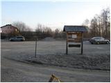
First, we drive to Kočevje, and then we look for Podgorska ulica (which from the main road branches off to the right - direction of driving towards Delnice). At the end of the mentioned street we will notice signposts and by them a nicely arranged parking lot.
Route description:
From the parking lot, we walk to a well-marked junction, and then we continue left in the direction of Grajska pot (right Kalanova pot). At first, we bypass a house, and then the path turns to the left and ascends diagonally through a grassy slope. The path then goes into the forest, where in a moderate ascent it continues on a relatively wide cart track. Higher, the cart track crosses a forest road and gradually changes into a somewhat steeper footpath. The well-marked path higher up crosses the road a few more times and then brings us to a junction, where we continue slightly left in the direction towards Livoldski vrh and castle Fridrihštajn (right Mestni vrh and mountain hut Koča pri Jelenovem studencu). The still well-marked path higher crosses a road (left Livoldski vrh) and only a little further splits into two parts. We continue right in the direction of Fridrihštajnska stena and Požgani vrh (left Fridrihštajn normal path). The path after a few steps again splits into two parts, and we continue on the right path, which starts descending (left climbing path on Fridrihštajn). After a short descent the path flattens, and then continues on a cart track which moderately ascends. After a few minutes of additional walking, we will notice blazes, which direct us to the right on a steep footpath on which in a few minutes we ascend to a partly panoramic peak.

Photos:
 1
1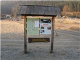 2
2 3
3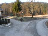 4
4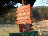 5
5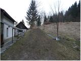 6
6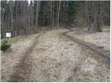 7
7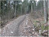 8
8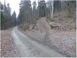 9
9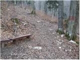 10
10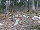 11
11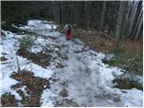 12
12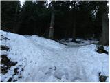 13
13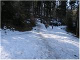 14
14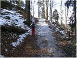 15
15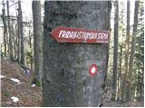 16
16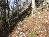 17
17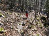 18
18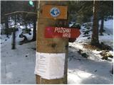 19
19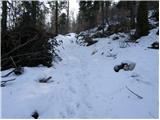 20
20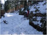 21
21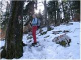 22
22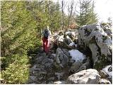 23
23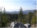 24
24 25
25
Discussion about the trip Kočevje - Požgani hrib (Grajska way)
|
| squash12318. 09. 2013 |
Today I did a trip in the Kočevje hills. Nice trip that can be done in a short time. I started alone in Kočevje, went to Mestni vrh, continued to Fridrihštajn, went to Požgani hrib and then finished with Livoldski vrh. Then only the descent to Kočevje followed.
I didn't meet a bear, although Kočevci saw it in the town in the morning
|
|
|
To post a comment you must log in:
If you do not yet have a username, you must first
register.