Kočevje - Mestni vrh (Kalan way)
Starting point: Kočevje (464 m)
| Latitude/Longitude: | 45,633°N 14,8585°E |
| |
Route name: Kalan way
Walking time: 1 h 30 min
Difficulty: easy marked way
Elevation gain: 570 m
Elevation difference along the route: 570 m
Map:
Recommended equipment (summer):
Recommended equipment (winter): crampons
Views: 17.477
 | 3 people like this post |
Access to starting point:
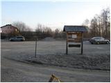
First, we drive to Kočevje, and then we look for Podgorska ulica (which from the main road branches off to the right - direction of driving towards Delnice). At the end of the mentioned street we will notice signposts and by them a nicely arranged parking lot.
Route description:
From the parking lot, we walk to a well-marked junction, and then we continue right in the direction of Kalanova pot (left Grajska pot). The marked path, which at first runs on the road, soon leaves it and continues left through the forest. Further, we ascend on the path on which the steepness increases, and it a few times crosses a forest road. Higher, the steepness decreases and the path joins the forest road on which we continue the ascent. The road soon starts descending and in a few steps brings us to a marked junction, where we continue left on a footpath in the direction of Mestni vrh (straight Koča pri Jelenovem studencu 3 minutes, right Ledenik).
The still well-marked path again steeply ascends and only a little below the summit brings us to the vantage point, from which a view opens up towards Kočevje.
We continue right on a less steep path, which in a few steps of further walking brings us to the summit.
Photos:
 1
1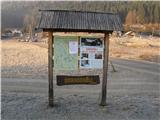 2
2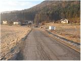 3
3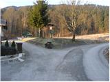 4
4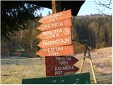 5
5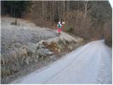 6
6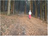 7
7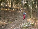 8
8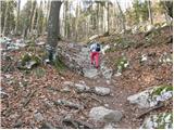 9
9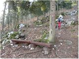 10
10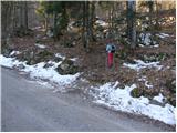 11
11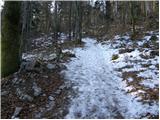 12
12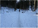 13
13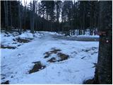 14
14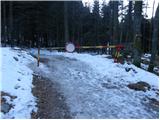 15
15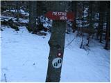 16
16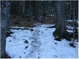 17
17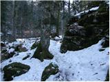 18
18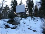 19
19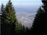 20
20 21
21
Discussion about the trip Kočevje - Mestni vrh (Kalan way)
|
| Thoor28. 03. 2016 |
Yesterday I climbed this path. Super tour for building fitness...
|
|
|
|
| Laščan16. 04. 2016 |
Please suggest a circular route Mestni vrh-Fridrihštajn, or vice versa!
|
|
|
To post a comment you must log in:
If you do not yet have a username, you must first
register.