Starting point: Kirchdorf (467 m)
| Latitude/Longitude: | 47,36377°N 15,3335°E |
| |
Walking time: 1 h 30 min
Difficulty: easy marked way
Elevation gain: 386 m
Elevation difference along the route: 420 m
Map: https://www.bergfex.at
Recommended equipment (summer):
Recommended equipment (winter): ice axe, crampons
Views: 136
 | 1 person like this post |
Access to starting point:
We leave the Maribor-Graz-Salzburg highway (A9) after a few shorter tunnels outside Graz and continue right on the expressway in the direction of Wien-Bruck/Muhr-Peggau.
We leave the expressway at the Mixnitz exit, then take the 3rd exit in the roundabout towards Zlatten and Pernegg.
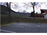
Immediately after that comes the next roundabout, where we take the 1st exit towards Kirchdorf. After approximately 2.5 km, we turn off the road that leads to Zlatten. Along the road we see a larger parking lot where we park.
Route description:
From the parking lot, we begin the trail along the road past the cemetery, cross the road and turn through the underpass.
We walk along the road for approximately 250 m and reach the spot where a mountain signpost directs us right onto a side road upwards.
We first follow the asphalt road, which higher up turns into a macadam forest road.
We reach a spot marked "Karlsruhe", where we leave the forest road and turn right onto a wide path steeply upwards (it is also possible to take the longer route along the road).
We walk along a very well-marked path through the forest upwards. Along the way we cross the forest road three times.
We reach the ridge and follow it left upwards to a point where a beautiful view opens towards the Mura valley and the surrounding hills.
We traverse the slope of Predigtstuhl and then tackle the final and steepest section of the trail.
The steep path brings us to a saddle, where we turn right. After a few metres we see the cross on the summit of Predigtstuhl.

Photos:
 1
1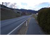 2
2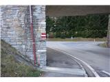 3
3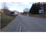 4
4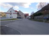 5
5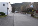 6
6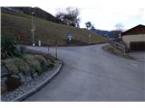 7
7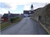 8
8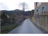 9
9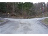 10
10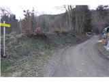 11
11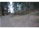 12
12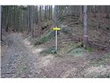 13
13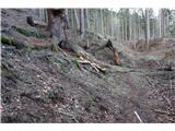 14
14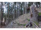 15
15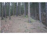 16
16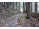 17
17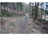 18
18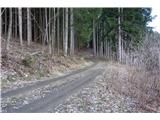 19
19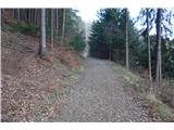 20
20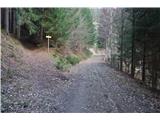 21
21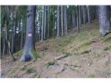 22
22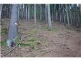 23
23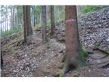 24
24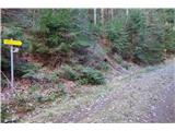 25
25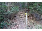 26
26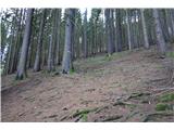 27
27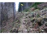 28
28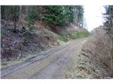 29
29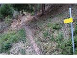 30
30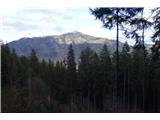 31
31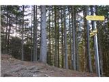 32
32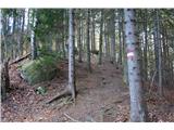 33
33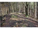 34
34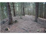 35
35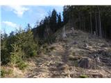 36
36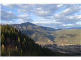 37
37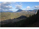 38
38 39
39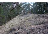 40
40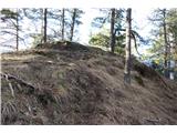 41
41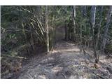 42
42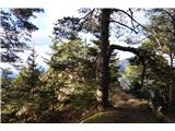 43
43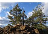 44
44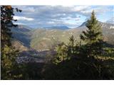 45
45 46
46
Discussion about the trip Kirchdorf - Predigtstuhl
To post a comment you must log in:
If you do not yet have a username, you must first
register.