Starting point: Kamen (889 m)
| Latitude/Longitude: | 45,8868°N 14,5325°E |
| |
Walking time: 40 min
Difficulty: easy marked way
Elevation gain: 170 m
Elevation difference along the route: 170 m
Map:
Recommended equipment (summer):
Recommended equipment (winter):
Views: 10.728
 | 2 people like this post |
Access to starting point:
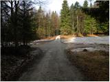
From the southern Ljubljana bypass, we head to the exit Ljubljana - Rudnik and continue driving towards Ig. At the roundabout in Ig, we continue "left" (direction of the Kurešček exit) and then after a few 100 m sharply right uphill (again direction Kurešček). Further, we drive on a relatively wide and ascending road, which we then follow through the villages Škrilje and Golo. Higher, the road flattens a little and soon brings us into the forest, where we should pay attention. Beside the road, we soon notice signs for Stara žaga, but we from here on the main road continue only a good 100 m to the next turn-off to the right. Further, we drive on the forest road, which at the first crossroad we follow straight, at the second, by which we also notice a few hiking signposts, sharply right. Further, we drive on the transversely ascending road, which higher turns a little to the left and then after a short descent brings us to a crossroad of several roads. We park on one of the parking lots by the road near the mentioned crossroad.
Route description:
At the crossroad, we continue straight (viewed from the direction of the described access to the starting point) and continue the ascent on the forest road that gently ascends through the forest. After approximately 15 minutes of walking, we come to a marked crossroad, where we continue sharply right in the direction of "vrh Mokrca". Further, we ascend on a somewhat steeper road which still runs through more or less dense forest. Higher, the road makes a sharp left turn and only a few 10 steps further brings us to a smaller saddle, where the marked path splits into two parts. We continue right on the marked footpath (straight on the marked road - defense platform of former JLA 3 minutes), which soon steeply ascends and after a few minutes of further walking brings us to the forest-covered summit.
Photos:
 1
1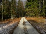 2
2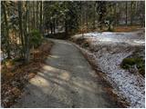 3
3 4
4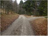 5
5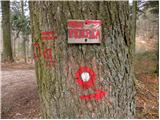 6
6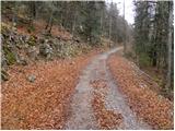 7
7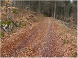 8
8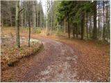 9
9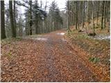 10
10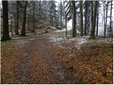 11
11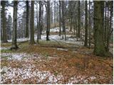 12
12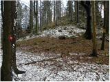 13
13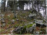 14
14 15
15 16
16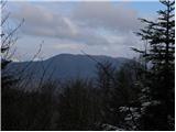 17
17
Discussion about the trip Kamen - Mokrc
|
| likozar13. 03. 2016 |
I'm interested if Srečko + 3 Styrians found the summit and the platform today (I myself wasn't sure)
|
|
|
|
| andi26. 12. 2016 |
The conditions have changed considerably - most markings and signs are gone, on the summit the inscription on the rock is erased and the stone marking the top is uprooted. Most trees around the summit have been felled. The best view is actually from the saddle between the two summits, reaching over Krim to Triglav. Otherwise probably a summit/"useless" part of the world that you visit only once on the way
|
|
|
|
| J.P.10. 04. 2021 18:12:27 |
It's sensible to park already at the first or second mountain signs otherwise the path is really short. As Andi2 says, quite useless part of the world :-) but we can extend the trip somewhere else since the area is full of paths with nice forest....Lp
|
|
|
|
| rokeg10. 04. 2021 20:44:09 |
The E coordinate of the starting point is wrong. 14.0599°E leads to Vodice pri Colu. Correct is 14.5325°E (from the description for Sveti Lenart from Kamen).
Otherwise, there are many peaks in the surroundings, the most difficult to access in my opinion is Ivanji vrh, because it is very overgrown with spruces and those branches "beat" you. Interesting is Krvavski grič, because it has a wall, and also a nice view from the top. Interesting is also the panoramic Stražar.
The "path" to the top of Mokrc is in summer full of nettles and cornelian cherries and there are quite a few traps beneath it in the form of fallen branches.
|
|
|
|
| Tadej12. 04. 2021 08:33:38 |
Thanks for the notice. I have corrected it.
|
|
|
To post a comment you must log in:
If you do not yet have a username, you must first
register.