Jezero - Sveti Tomaž (Planinca) (via homestead Špelin)
Starting point: Jezero (290 m)
| Latitude/Longitude: | 45,9692°N 14,4313°E |
| |
Route name: via homestead Špelin
Walking time: 50 min
Difficulty: easy marked way
Elevation gain: 282 m
Elevation difference along the route: 282 m
Map: Ljubljana - okolica 1:50.000
Recommended equipment (summer):
Recommended equipment (winter):
Views: 6.352
 | 1 person like this post |
Access to starting point:
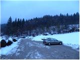
A) From the highway Ljubljana - Koper we go to the exit Brezovica, from there we continue driving left on the old road towards Vrhnika. Still in Brezovica, we notice signs for Podpeč, which point us to the left. We drive through Vnanje and Notranje Gorice to Podpeč, where at the crossroads we continue left towards the village Jezero. We follow the road through the village a few 100 m, after which signs for Podpeško jezero point us to the right. Further we follow the somewhat narrower road to the parking lot by Podpeško jezero.
B) From Ljubljana we drive to Črna vas, then we continue driving towards Podpeč, where we join the road from Brezovica. In Podpeč we again continue left (direction Jezero). Further we drive a few 100 m, after which signs for Podpeško jezero point us to the right on the somewhat narrower road, which we follow to the parking lot by the already mentioned lake.
Route description:
From the parking lot at Podpeško jezero we return over 100 m back, then we head on the road in the direction of Krim (left road viewed from the direction of access to the starting point). We continue the path through the village, but at crossroads we keep to the right directions. After approximately 15 minutes of easy walking we arrive at the homestead Špelin, where signs for Krim direct us left onto an ascending footpath, which quickly enters the forest. Further we ascend relatively steeply for a short time, then we join the cart track from the village Jezero (we would arrive via it if at the smaller crossroads behind the chapel we continued on the left road). We follow the cart track uphill, which soon brings us to a macadam road, which we only cross. A short ascent through the forest follows and the path brings us to the meadows of the area named Planinca (also Planinica). Here the path turns left and quickly brings us to an isolated homestead, behind which a path past Ledenica joins from the left. Here we continue right and in a few further steps we arrive at the church of St. Tomaž on Planinca.

Photos:
 1
1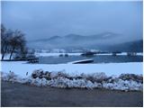 2
2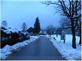 3
3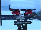 4
4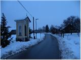 5
5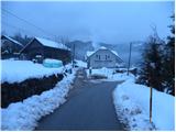 6
6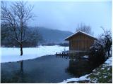 7
7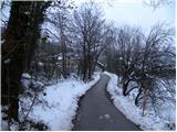 8
8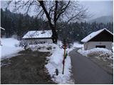 9
9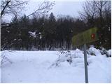 10
10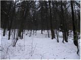 11
11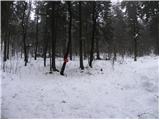 12
12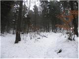 13
13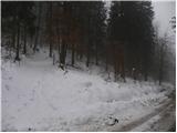 14
14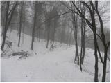 15
15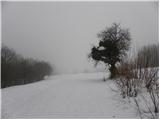 16
16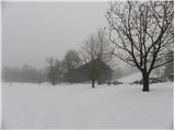 17
17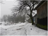 18
18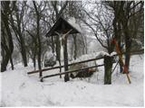 19
19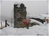 20
20 21
21
Discussion about the trip Jezero - Sveti Tomaž (Planinca) (via homestead Špelin)
To post a comment you must log in:
If you do not yet have a username, you must first
register.