Grad Jablje - Mengeška koča on Gobavica (ridge path)
Starting point: Grad Jablje (310 m)
| Latitude/Longitude: | 46,1422°N 14,5549°E |
| |
Route name: ridge path
Walking time: 2 h 5 min
Difficulty: easy marked way
Elevation gain: 123 m
Elevation difference along the route: 215 m
Map: Ljubljana - okolica 1:50.000
Recommended equipment (summer):
Recommended equipment (winter):
Views: 3.800
 | 2 people like this post |
Access to starting point:
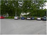
A) First, we drive to the Trzin bypass (up to here from the Tomačevo or Domžale roundabout), then we continue driving towards Kamnik. Just before the end of Trzin, signs for Jablje direct us left onto a narrower local road. We follow the mentioned road to the hamlet Jablje, where on one of the parking lots near the castle Jablje we also park (in the immediate vicinity of the castle parking is prohibited, or permitted only to guests).
B) From Kamnik through Mengeš we drive towards Ljubljana. As soon as we arrive in Trzin we turn right and continue driving towards the hamlet Jablje, where we then park at a suitable spot by the eponymous castle.
Route description:
By the parking lot we notice signs for Rašica, which point us on the forest road, and it starts gently ascending through the forest. Soon the path splits into two parts, where we can continue right on the footpath, or straight on the road. If we continue on the road, at the next crossroad we have to turn right on a cart track, and higher it joins the earlier mentioned marked footpath. We continue the ascent through a dense forest, through which we are ascending on the old tractor tracks. At the crossings, we stick to the right directions, and the path, which meanwhile for a few minutes entirely flattens, quickly brings us to an asphalt road which leads from the village Loka pri Mengšu towards Dobeno.
At the inn Ručigaj, where we reach the asphalt road, we continue right, and on the road we walk to the nearby mountain signposts, from where we continue upwards on a marked path in the direction of Rašica and Mengeška koča, and after a short ascent, we reach an asphalt road which we follow to the left. The path ahead leads us past a few more houses, and then blazes lead us right on a cart track, where we cross a strip of forest. At the crossing of cart tracks we continue on the left one, and then we walk along the edge of the forest to a marked crossing, where we go on the right path (left Rašica).
Next follows a walk on the road, on which we are mostly descending, and then signs for Mengeška koča point us to the left upwards on a temporarily steeper cart track. The path quickly flattens and turns a little to the right. After a shorter traverse we reach the ridge path from Mengeška koča towards Rašica, and we follow it right in the direction of Mengeška koča. Next follows a walk on the forested ridge of Srednji hrib, and then we arrive at a marked crossing, where from the left joins the path from Koseze, and the path towards Gobavica splits.
We continue slightly right in the direction of the ridge path (right lower path) and we first ascend to Magarovnik, and from Magarovnik we descend to a smaller saddle, where from the left joins the path from Topol.
We continue straight (right we can join the lower path) and we ascend also to Marin hrib, and from it follows a descent to a marked crossing, where we join the lower path.
We continue on a cart track in the direction of Mengeška koča, and the path out of the forest leads us onto a hay meadow, on which we walk to the nearby hayrack. At the hayrack we go left and past the bench we ascend into the forest. Through the forest we temporarily ascend more steeply, and then across a short panoramic section, from which the view reaches all the way to the Alps, we quickly arrive at Mengeška koča on Gobavica.

Along the route: Magarovnik (402m), Marin hrib (408m)
Photos:
 1
1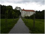 2
2 3
3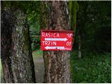 4
4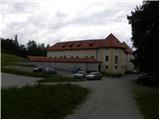 5
5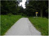 6
6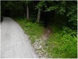 7
7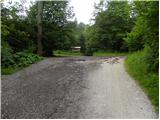 8
8 9
9 10
10 11
11 12
12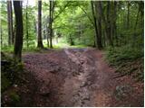 13
13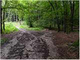 14
14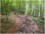 15
15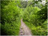 16
16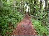 17
17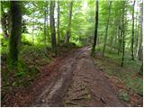 18
18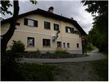 19
19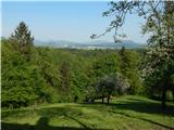 20
20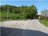 21
21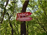 22
22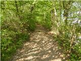 23
23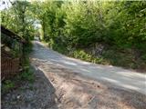 24
24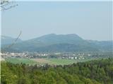 25
25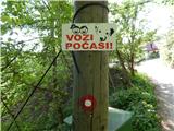 26
26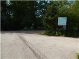 27
27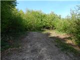 28
28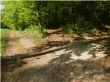 29
29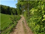 30
30 31
31 32
32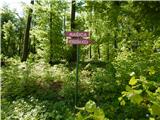 33
33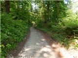 34
34 35
35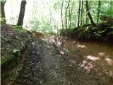 36
36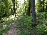 37
37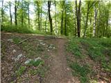 38
38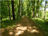 39
39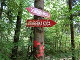 40
40 41
41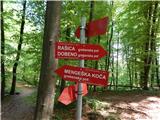 42
42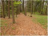 43
43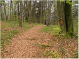 44
44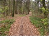 45
45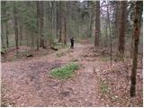 46
46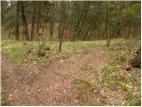 47
47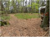 48
48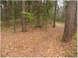 49
49 50
50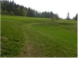 51
51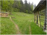 52
52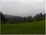 53
53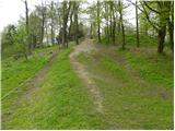 54
54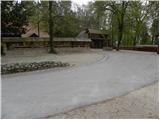 55
55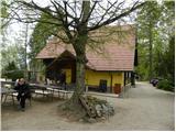 56
56
Discussion about the trip Grad Jablje - Mengeška koča on Gobavica (ridge path)
|
| anak7. 05. 2018 |
The description misses that at Ručigaj we have to turn right (down) to reach the direction signs for the Mengeš - Rašica path.
LP Ana
|
|
|
|
| Tadej23. 05. 2018 |
Thanks for the warning. I've corrected it.
|
|
|
|
| VanSims23. 03. 2021 |
Aggressive and arrogant cyclists who (illegally) ride this and other paths, at least show some consideration for walkers, instead of people having to fear someone coming at them from around the corner at least 30 km/h.
Then you still want legalisation of riding on (some) hiking and mountain paths. Not on a single one, as long as you're so rude and inconsiderate. Let it be like in Austria, where they can't even ride on forest roads and nobody complains!
|
|
|
|
| zavest24. 03. 2021 |
On this side there are only peaceful and non-arrogant cyclists, so I suggest addressing your call on the Strava network, that's where those morons gather.
|
|
|
To post a comment you must log in:
If you do not yet have a username, you must first
register.