Hodoš - Hodoš lake (circular path around the lake)
Starting point: Hodoš (258 m)
| Latitude/Longitude: | 46,82763°N 16,32664°E |
| |
Route name: circular path around the lake
Walking time: 1 h
Difficulty: easy unmarked way
Elevation gain: -15 m
Elevation difference along the route: 5 m
Map: Pomurje 1:40.000
Recommended equipment (summer):
Recommended equipment (winter):
Views: 572
 | 1 person like this post |
Access to starting point:
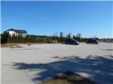
We drive to Murska Sobota, and then we follow the signs for Hodoš. When we get to Hodoš, we turn left towards the center of the settlement, where at the municipal building we turn right and past the branch primary school we drive to the nearby cemetery, where we park on a larger asphalted parking lot.
Route description:
From the parking lot, we return to the municipal building, and then we continue right, where we walk on a sidewalk, which leads us through the village. At the turn-off of the road to the right towards the settlement Glava Zale / Szalafo the sidewalk ends, and by the edge of the road, we continue to the end of the settlement Hodoš and even a little further to the nearby crossroad, where a macadam road branches off to the left, on which we can get to Dolenci.
We continue straight and after a few steps of additional walking, we get to a wooden shelter, where we leave the road and climb to the nearby embankment.
When we reach the embankment, a nice view opens up on Hodoš Lake, and we continue on the embankment, which leads us above the southeastern shore of the lake. When we leave the embankment, we step on the aforementioned macadam road which we follow to the right, and from it we soon go right, where we cross a small bridge. The path ahead leads us by the lake, where we go past the hunting observation post and educational boards, and then we reach the cart track, on which we walk for a short time. Before the small hut we go right, and a little ahead over a small bridge on our own responsibility we cross the Dolenski Stream. Next follows a few minutes of walking between the field on the left and the lake on the right and we again reach the road, on which we came to the lake.
From here follows approximately 15 minutes of walking on the already known path to the beginning and the end of the path.
Description and pictures refer to the condition in March 2021.

Photos:
 1
1 2
2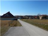 3
3 4
4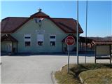 5
5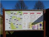 6
6 7
7 8
8 9
9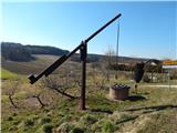 10
10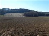 11
11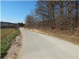 12
12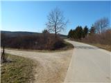 13
13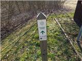 14
14 15
15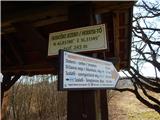 16
16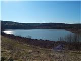 17
17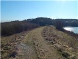 18
18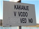 19
19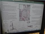 20
20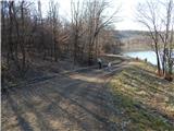 21
21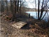 22
22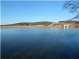 23
23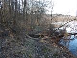 24
24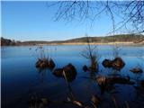 25
25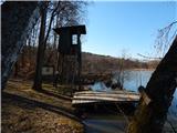 26
26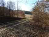 27
27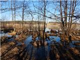 28
28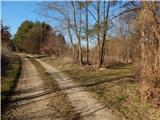 29
29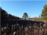 30
30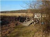 31
31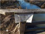 32
32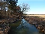 33
33 34
34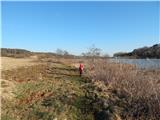 35
35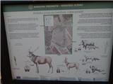 36
36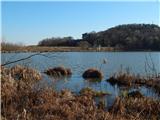 37
37 38
38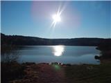 39
39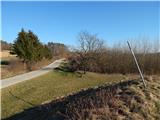 40
40
Discussion about the trip Hodoš - Hodoš lake (circular path around the lake)
To post a comment you must log in:
If you do not yet have a username, you must first
register.