Gornja Brela (Subotišće) - Planinska koča Bukovac (Planinska pot)
Starting point: Gornja Brela (Subotišće) (255 m)
| Latitude/Longitude: | 43,41°N 16,91234°E |
| |
Route name: Planinska pot
Walking time: 2 h 30 min
Difficulty: easy marked way
Elevation gain: 775 m
Elevation difference along the route: 820 m
Map: Biokovo 1:25.000
Recommended equipment (summer):
Recommended equipment (winter):
Views: 230
 | 2 people like this post |
Access to starting point:
On the Adriatic Highway (road D8) between Split and Brela, 3 km after the turn-off to Pisak, turn left towards Imotski/motorway.
Drive 5 km to Gornja Brela (Subotišće), where at the bus station (on the right) turn left downhill to the cemetery, where we park.
Route description:
We go back to the intersection from which we came. At the intersection turn right and continue along the right side of the road for just over 200 m to the point where the mountain signpost directs us right uphill along the road.
The tarmac road soon ends and becomes a mountain trail, which is also an educational trail equipped with 9 information boards. Traces of bygone times are visible at every step; first we reach the old church of Our Lady of Health, followed by a typical threshing floor site, then we pass the old settlement of Klešići, reach the Vodice spring and Mrkore cave, go through Dubrava forest and reach a junction where we turn right to a rest area with table and benches. Continuing we ascend gently through the valley. The trail mostly runs through forest, providing pleasant shade in summer.
After overcoming the last elevation metres on the rocky trail we arrive at a larger clearing where the mountain hut stands.
Photos:
 1
1 2
2 3
3 4
4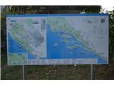 5
5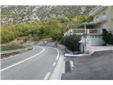 6
6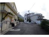 7
7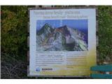 8
8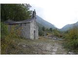 9
9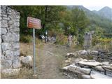 10
10 11
11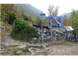 12
12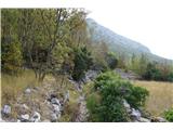 13
13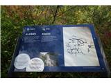 14
14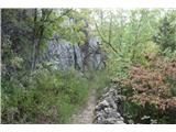 15
15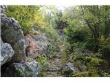 16
16 17
17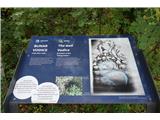 18
18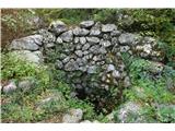 19
19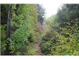 20
20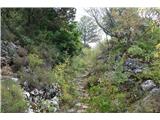 21
21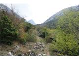 22
22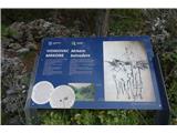 23
23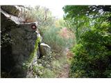 24
24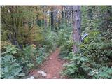 25
25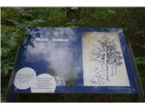 26
26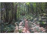 27
27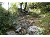 28
28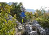 29
29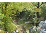 30
30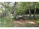 31
31 32
32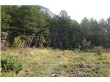 33
33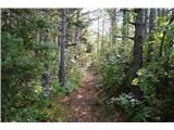 34
34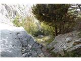 35
35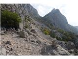 36
36 37
37 38
38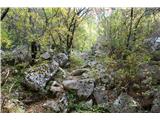 39
39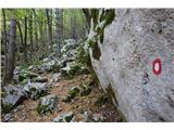 40
40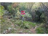 41
41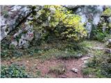 42
42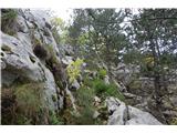 43
43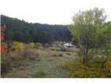 44
44 45
45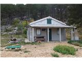 46
46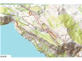 47
47
Discussion about the trip Gornja Brela (Subotišće) - Planinska koča Bukovac (Planinska pot)
To post a comment you must log in:
If you do not yet have a username, you must first
register.