Zapornica (Belca) - Visoki vrh (via Bašinov breg)
Starting point: Zapornica (Belca) (1007 m)
| Latitude/Longitude: | 46,5041°N 13,9179°E |
| |
Route name: via Bašinov breg
Walking time: 2 h 40 min
Difficulty: easy unmarked way
Elevation gain: 821 m
Elevation difference along the route: 821 m
Map: Kranjska Gora 1:30.000
Recommended equipment (summer):
Recommended equipment (winter): ice axe, crampons
Views: 6.314
 | 1 person like this post |
Access to starting point:
Because of the rockfall, access to the described starting point is not possible until further notice (May 2018).
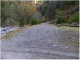
From the highway Ljubljana - Jesenice we take the exit Jesenice - west, then continue driving on the regional road towards Kranjska Gora. We follow the mentioned road to the settlement Belca and a few hundred meters further, then we will notice on the right side the beginning of the forest road which leads into the Belca valley. Further we drive on at first still wide, then narrower and occasionally quite precipitous forest road. We follow the scenic road, which leads us through the tunnel, to the marked parking lot by a smaller bridge at the confluence of Suhega grabna and Beli potok.
If we continue driving over the bridge after which there is a green barrier, it may happen that it will be locked on our departure.
Route description:
From the parking lot we continue on the road, which immediately crosses a bridge behind which stands a green barrier. The road soon starts to ascend more steeply beside the scenic stream Suhi graben. Higher we ascend above a nice waterfall, and the road a little further brings us to a crossroads, where we continue on the left road (right Kepa).
The road continues to ascend moderately, and we follow it at all crossroads on the "main" road. A little higher the road leads past the forestry cottage and a little higher past a trough with water. We continue to follow the road, which has a few smaller crossroads, on the "main" road, and after the last sharp right turn it brings us to a smaller crossing beside which there usually stands a small cairn. Here to the left branches the path to Mojstrovica over Bašinov breg. We head onto the mentioned cart track, which ascends steeply through the spruce forest. A little higher the forest thins out, so a nice view opens up onto Kepa, and the cart track then brings us to a smaller crossing. We continue on the left (right also possible), which a little higher gently descends and leads onto steep slopes. When the cart track starts ascending again, we leave it and continue right, where after a few 10 m of ascent we step onto the extensive grazing areas of the mountain pasture Bavhe.
Further the direction of ascent is clear. We continue straight up the grassy slope, and the "path" higher brings us to a small lake (watering place for animals), beside which we also step onto a well-trodden path.
We follow the mentioned path to the left, which ascends transversely across the grazing slopes. A little higher we enter the forest, where the path levels out, then after a few minutes of further walking we arrive at a smaller crossing, where the path from the top of Mojstrovica joins from the right. We continue straight ahead, where we step out of the forest onto a gentle grassy slope. On it we ascend a few 10 m, then on the right side we notice a wide path which turns right and crosses relatively steep slopes. When we cross the mentioned section of the path, it turns left and leads us further across a panoramic moderately steep grassy slope. The path then enters a belt of sparse forest surrounded by dwarf pines. A short traverse follows, then the path ascends more steeply and quickly brings us to the summit.
In fog, orientation in the upper part is relatively difficult.

Photos:
 1
1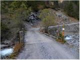 2
2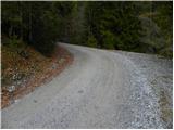 3
3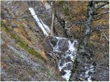 4
4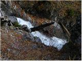 5
5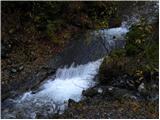 6
6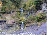 7
7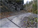 8
8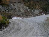 9
9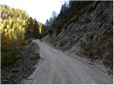 10
10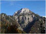 11
11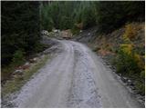 12
12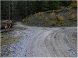 13
13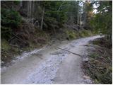 14
14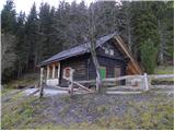 15
15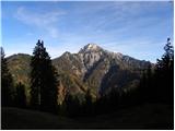 16
16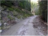 17
17 18
18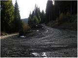 19
19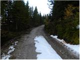 20
20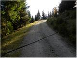 21
21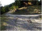 22
22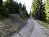 23
23 24
24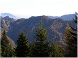 25
25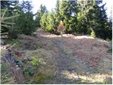 26
26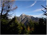 27
27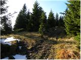 28
28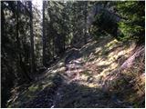 29
29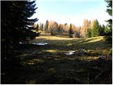 30
30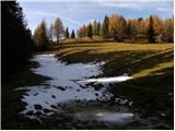 31
31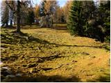 32
32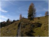 33
33 34
34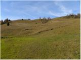 35
35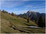 36
36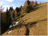 37
37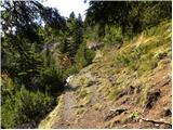 38
38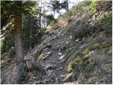 39
39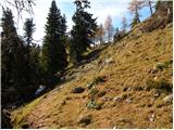 40
40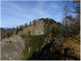 41
41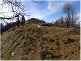 42
42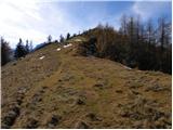 43
43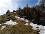 44
44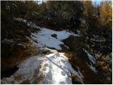 45
45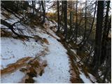 46
46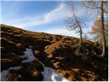 47
47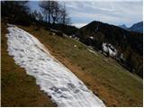 48
48 49
49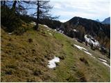 50
50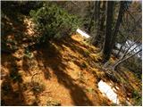 51
51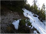 52
52 53
53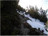 54
54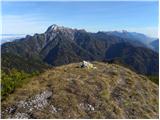 55
55 56
56
Discussion about the trip Zapornica (Belca) - Visoki vrh (via Bašinov breg)
|
| iztok.maltar27. 11. 2011 |
Just one correction to the description, at photo 28 it's better to go straight up where the cart track takes us to the very NE corner of the alpine pasture, where the trail continues across the meadow.
|
|
|
To post a comment you must log in:
If you do not yet have a username, you must first
register.