Dovje - Rovt Vrse (via Sedučnik)
Starting point: Dovje (660 m)
| Latitude/Longitude: | 46,465°N 13,9448°E |
| |
Route name: via Sedučnik
Walking time: 1 h 30 min
Difficulty: easy unmarked way
Elevation gain: 540 m
Elevation difference along the route: 540 m
Map: Kranjska Gora 1:30.000
Recommended equipment (summer):
Recommended equipment (winter): ice axe, crampons
Views: 2.026
 | 1 person like this post |
Access to starting point:
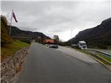
A) We leave the Gorenjska motorway at the Jesenice - West (Hrušica) exit, and then continue driving towards Kranjska Gora. Towards Kranjska Gora, we drive to the junction at the monument to Jakob Aljaž, where we turn right onto the nearby parking lot by Aljažev hram.
B) First, we drive to Kranjska Gora, and then continue driving towards Jesenice. On the main road towards Jesenice, we drive to the junction at the monument to Jakob Aljaž, where we turn left onto the nearby parking lot by Aljažev hram.
Route description:
From the starting point, we continue in the direction of Kepa and Dovška Baba on an ascending road which leads us through Dovje. After a short ascent, we arrive at a junction by the chapel, where the path from the parish church in Dovje joins from the left. At the mentioned junction, we continue right, then after a few meters at the next junction left in the direction of house numbers 43-50 and 75-105. We continue on a narrower asphalt road which ascends among houses, at the next junction we continue slightly right in the direction of numbers 49, 78-81A 83-90A, 92, 96-97. A little further, where a road branches off to the right towards house numbers 88 and 89A, we continue straight and continue on the road which after the village loses its asphalt surface. At the end of the village, a nice view opens up of Dovje and Jerebikovec, and the road then enters the forest through which it ascends transversely. Further on, we also cross the Sedučnik stream, then we ascend on an asphalt road to the Sedučnik farmstead. There follows some more walking on the asphalt road past a cross and hayrack to the residential house and outbuilding, where the path leads right by the house. Behind the yard, we cross the fence, the path which further runs on a cart track then enters the forest. At the first fork above the farm, we go right, then continue the path transversely to the right. Higher up, the path leads past a pleasant spring (source of the Sedučnik stream). Above the stream, we keep to the right directions, then soon we step onto a macadam road, which we reach right at a bend. We follow the road to the left for about 100 metres, then a wide cart track branches off to the right, which leads towards Rovt Vrse.
We continue on the mentioned cart track, on which we quickly arrive at the cottages on Rovt Vrse.

Along the route: Sedučnik (926m)
Photos:
 1
1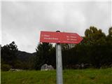 2
2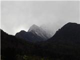 3
3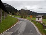 4
4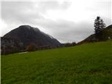 5
5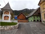 6
6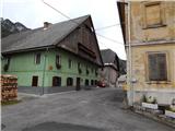 7
7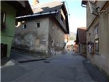 8
8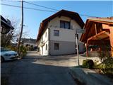 9
9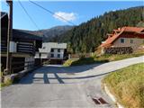 10
10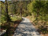 11
11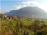 12
12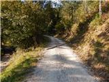 13
13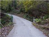 14
14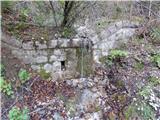 15
15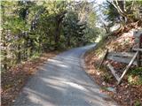 16
16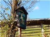 17
17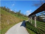 18
18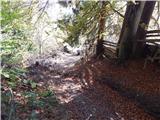 19
19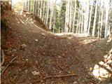 20
20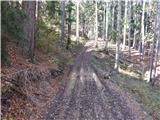 21
21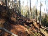 22
22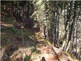 23
23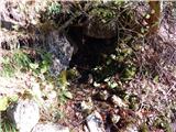 24
24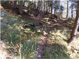 25
25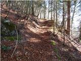 26
26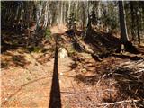 27
27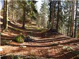 28
28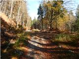 29
29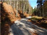 30
30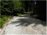 31
31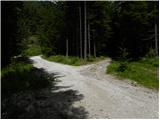 32
32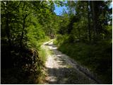 33
33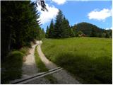 34
34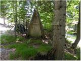 35
35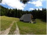 36
36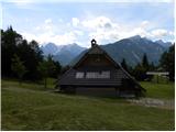 37
37
Discussion about the trip Dovje - Rovt Vrse (via Sedučnik)
To post a comment you must log in:
If you do not yet have a username, you must first
register.