Starting point: Dovje (660 m)
| Latitude/Longitude: | 46,465°N 13,9448°E |
| |
Walking time: 35 min
Difficulty: easy marked way
Elevation gain: 55 m
Elevation difference along the route: 85 m
Map: TNP 1:50.000
Recommended equipment (summer):
Recommended equipment (winter):
Views: 21.650
 | 2 people like this post |
Access to starting point:
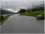
We leave the Gorenjska motorway at the exit Jesenice - west (Hrušica) and continue driving in the direction of Kranjska Gora. At the traffic light between Mojstrana and Dovje we turn right and park on the parking lot near the monument to Jakob Aljaž.
Route description:
From the parking lot at Aljažev hram we first walk to the traffic light, where we cross the main road Jesenice - Kranjska Gora. On the other side, we start steeply descending to the bridge over the river Sava Dolinka, then we continue by the road or on a sidewalk through Mojstrana. In Mojstrana signs for Kot, Krma and walking path number 15 (path towards the lake Kreda) point us sharply left on the road which over a bridge crosses Triglavska Bistrica. Immediately after the bridge we go right on the Kurirska pot (road into Radovna, Kot and Krma continues straight), which continues by Triglavska Bistrica. At the smaller power station, the asphalt ends, and we continue on a macadam road which we follow to the left turn. At the mentioned turn, near which there is a green bridge over Triglavska Bistrica, we continue straight, on the path which still continues by the mentioned watercourse. At first, a view opens up a little on the nearby Grančišče, and then the path mostly continues through the forest. A little further, or after we cross some smaller streams, we get to a marked crossing, where we continue left upwards in the direction of walking path number 15 (straight path number 16). From the crossing ahead, the path starts moderately ascending, and then near the next crossing it quickly flattens. At the mentioned crossing, the path branches off to the right towards the starting point Pri Rosu, and we continue straight, where after a few additional steps we already get to the lake Kreda.

Along the route: Mojstrana (641m)
Photos:
 1
1 2
2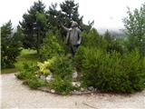 3
3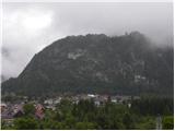 4
4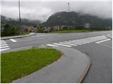 5
5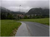 6
6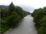 7
7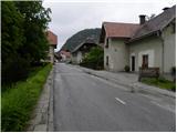 8
8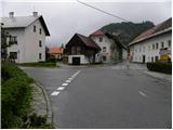 9
9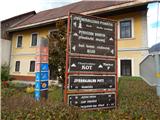 10
10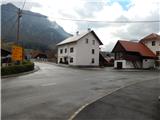 11
11 12
12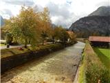 13
13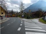 14
14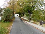 15
15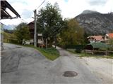 16
16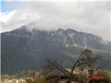 17
17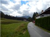 18
18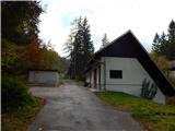 19
19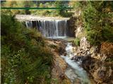 20
20 21
21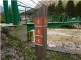 22
22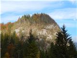 23
23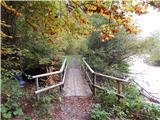 24
24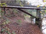 25
25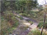 26
26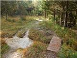 27
27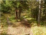 28
28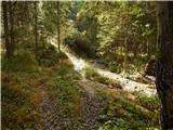 29
29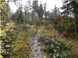 30
30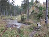 31
31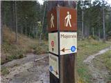 32
32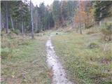 33
33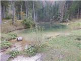 34
34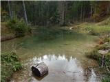 35
35
Discussion about the trip Dovje - Jezero Kreda
|
| bfine4448. 08. 2015 |
How do you manage to take such unattractive photos. This on Hribi.net is more the rule than the exception...
|
|
|
To post a comment you must log in:
If you do not yet have a username, you must first
register.