Donja Višnjica - Mačkova špilja
Starting point: Donja Višnjica (272 m)
| Latitude/Longitude: | 46,29316°N 16,01199°E |
| |
Walking time: 30 min
Difficulty: easy marked way
Elevation gain: 156 m
Elevation difference along the route: 156 m
Map:
Recommended equipment (summer): helmet
Recommended equipment (winter): helmet, ice axe, crampons
Views: 104
 | 1 person like this post |
Access to starting point:
We arrive in Croatia via the Gruškovje/Macelj border crossing. We immediately leave the motorway and head east towards Varaždin, Ivanec and Trakoščan. In Trakoščan, turn left towards Cvetlin and Višnjica and drive to the village of Donja Višnjica. Donja Višnjica is a sprawling settlement. We can park in the parking lot next to the school or next to the residential building where there used to be a post office.
Route description:
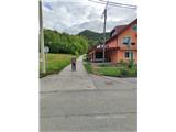
From the parking spot, continue towards Lepoglava, proceeding to the southern part of the settlement. Along the main road, we reach the Fijačko farm with house number 105b, where we turn left uphill on asphalt. There are no markers on this section. The road then leads through a small hamlet and levels out after a longer right bend. A bit further, we arrive at a water supply facility, where we will notice the first markers on a tree. Continue straight into the forest (left is a steep path to the Tri Žaklji viewpoint), where we ascend on a narrower trail that gently rises. After ten minutes of further walking, we reach a junction where we go sharply left uphill (straight to Goranec settlement). This is followed by a few minutes of very steep and quite slippery when it rains ascent, and we arrive at the cliff where Mačkova špilja is located.
Photos:
 1
1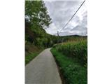 2
2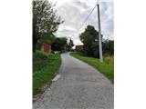 3
3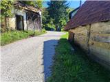 4
4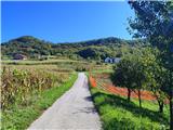 5
5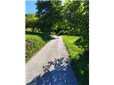 6
6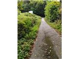 7
7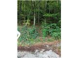 8
8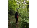 9
9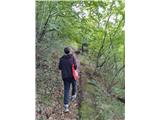 10
10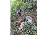 11
11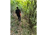 12
12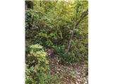 13
13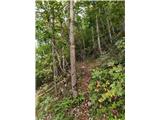 14
14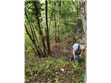 15
15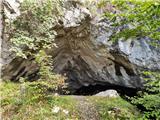 16
16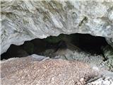 17
17
Discussion about the trip Donja Višnjica - Mačkova špilja
To post a comment you must log in:
If you do not yet have a username, you must first
register.