Dom v Dragi - Begunjska Vrtača
Starting point: Dom v Dragi (689 m)
| Latitude/Longitude: | 46,395°N 14,2183°E |
| |
Walking time: 3 h 5 min
Difficulty: partly demanding marked way, easy pathless terrain
Elevation gain: 1302 m
Elevation difference along the route: 1302 m
Map: Karavanke - osrednji del 1:50.000
Recommended equipment (summer): helmet
Recommended equipment (winter): helmet, ice axe, crampons
Views: 6.529
 | 1 person like this post |
Access to starting point:
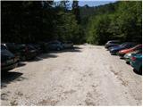
From the Ljubljana-Jesenice highway we head to the exit Brezje, Radovljica or Lesce, then continue driving in the direction of Begunje na Gorenjskem. When we arrive in Begunje we drive through the center of the settlement, at the crossroads we follow the signs for Kamen Castle and Dom v Dragi mountain hut. On the other side of the settlement the main road turns right towards Tržič, and we continue straight on a narrower road which quickly leads into the Draga valley. We drive for a short time on an asphalt road, then the asphalt ends and the road brings us to the parking lot in front of the Dom v Dragi mountain hut. Because only guests are allowed to park in front of the mountain hut, we continue right, and after about 100 meters of additional driving we park on one of the two larger macadam parking lots.
Route description:
From the parking lot we continue on the road which, past a bee house, brings us to a junction in a few minutes of walking, where we continue right in the direction of the mountain pasture Preval over Luknja (left mountain pasture Planinca, Poljška planina and Roblekov dom). The path ahead crosses the stream and then for some time ascends gently along the bottom of the valley.
Further the valley narrows, and the path brings us in a moderate ascent to a narrow gully, through which with the help of fixed safety gear we ascend steeply upwards.
The short secured part technically is not particularly demanding, but it is exposed to falling stones.
Higher the path brings us out of the gully, where it then continues for some time along the stream. Next follows an ascent up a shorter ladder (undemanding), then the path enters the forest, where it continues to a worse road.
We follow the mentioned road for only a few steps, then the blazes direct us right onto a marked footpath which continues on and beside the cart track. Higher the cart track finally turns into a footpath which heads somewhat more to the right and begins to ascend ever more steeply. We follow this relatively steep path in the last section all the way to the Preval mountain pasture, which we reach after a few minutes of further walking.
From the cross on Preval we continue north on the marked footpath in the direction of Begunjščica over Kalvarija (left Roblekov dom over Roža, right Ljubelj and Podljubelj). The path ahead first ascends over a panoramic grassy slope, then passes into the forest through which it begins to ascend more steeply. Higher the forest begins to thin, and the path becomes somewhat steeper. Next follows a fairly steep ascent which first runs through some belts of dwarf pines, higher over steep grassy slopes which are especially dangerous for slipping when wet. Further we cross a slightly exposed gully where a small memorial plaque is placed, and the path then ascends for a few more minutes along the steep grassy slope. When the slope a little higher flattens somewhat, the marked path turns left and crosses the slopes to the left. A few minutes further we arrive in a small valley where the slope flattens even more.
Here the marked path which leads to Veliki vrh crosses the valley, but we continue straight up the valley where we first still follow a faint path. Somewhat higher we head slightly right, then in 10 minutes of further walking over easier pathless terrain we ascend to the summit of Begunjska Vrtača.

Photos:
 1
1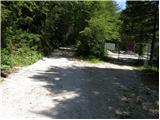 2
2 3
3 4
4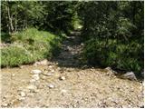 5
5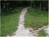 6
6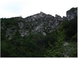 7
7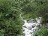 8
8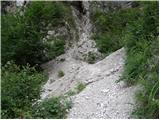 9
9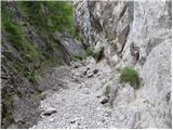 10
10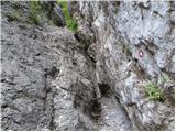 11
11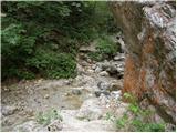 12
12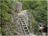 13
13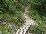 14
14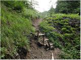 15
15 16
16 17
17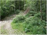 18
18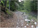 19
19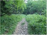 20
20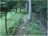 21
21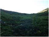 22
22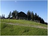 23
23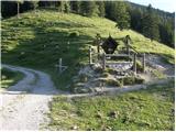 24
24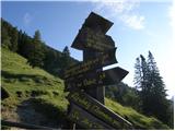 25
25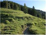 26
26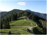 27
27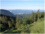 28
28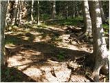 29
29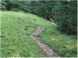 30
30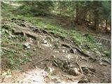 31
31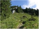 32
32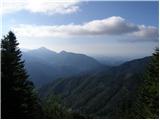 33
33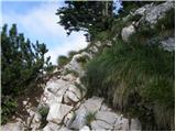 34
34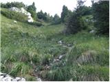 35
35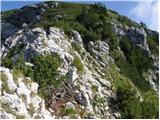 36
36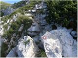 37
37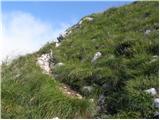 38
38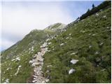 39
39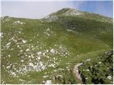 40
40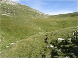 41
41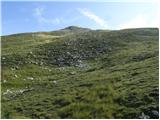 42
42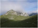 43
43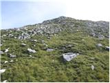 44
44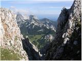 45
45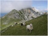 46
46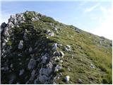 47
47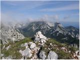 48
48
Discussion about the trip Dom v Dragi - Begunjska Vrtača
To post a comment you must log in:
If you do not yet have a username, you must first
register.