Dolina Drage - Dolina Drage (Forest learning trail Draga)
Starting point: Dolina Drage (310 m)
| Latitude/Longitude: | 45,9413°N 14,5472°E |
| |
Route name: Forest learning trail Draga
Walking time: 50 min
Difficulty: easy marked way
Elevation gain: 0 m
Elevation difference along the route: 120 m
Map: Ljubljana - okolica 1:50.000
Recommended equipment (summer):
Recommended equipment (winter):
Views: 8.420
 | 4 people like this post |
Access to starting point:
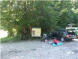
First, we drive to Ig, and then we continue driving towards Škofljica. At the end of Ig, in a sharp left turn we will notice a side road which from the main turns to the right (direction straight ahead). The mentioned road then through the village Kremenica brings us to a crossroad, where two roads towards Draga branch off to the right (we go on the second road). We follow this road to the parking lot by the Veliki ribnik pond and hunting lodge.
Route description:
By the parking lot and by Veliki ribnik starts the forest learning path Draga, which immediately behind the parking lot from the road leads right, through a meadow into the forest, through which we continue on a cart track. The cart track soon turns right, and then ascends diagonally for some time, after that it turns semi-circularly left. On this part a view opens up temporarily on part of the Ljubljana Marshes and on the Kamniško Savinjske Alpe, and then the path passes to the part where there are quite frequent learning boards along the path. Further on, the path brings us to the settlement Dobravica, where when we step on the road we continue left downwards, and then at the end of the village we notice signs for the learning path, which again lead us into the forest, where the path continues on a cart track. For some time the path still runs without major changes in altitude, and then it gradually starts to descend more noticeably, at the junctions we follow the signs for the learning path, if there are none, we follow the better beaten path. There follows a somewhat longer descent, and then we already reach the macadam road, on which we walk by the ponds back to the starting point.
Description and pictures refer to the condition in the year 2016 (August).

Photos:
 1
1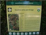 2
2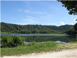 3
3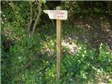 4
4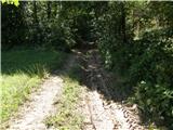 5
5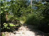 6
6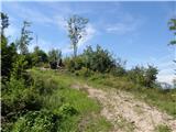 7
7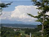 8
8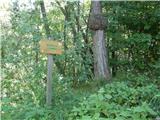 9
9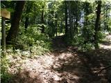 10
10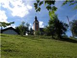 11
11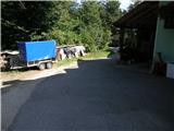 12
12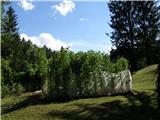 13
13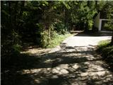 14
14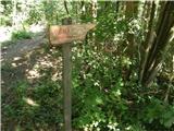 15
15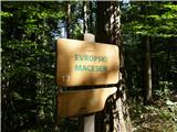 16
16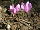 17
17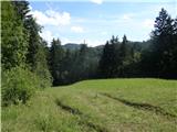 18
18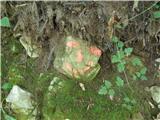 19
19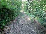 20
20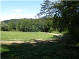 21
21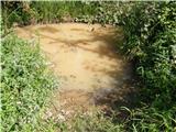 22
22 23
23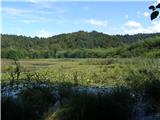 24
24 25
25
Discussion about the trip Dolina Drage - Dolina Drage (Forest learning trail Draga)
To post a comment you must log in:
If you do not yet have a username, you must first
register.