Cima Sappada - Rifugio Monte Siera
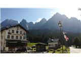
Starting point: Cima Sappada (1283 m)
| Latitude/Longitude: | 45,556°N 12,71969°E |
| |
Walking time: 50 min
Difficulty: easy marked way
Elevation gain: 324 m
Elevation difference along the route: 330 m
Map: Tabacco 01
Recommended equipment (summer):
Recommended equipment (winter):
Views: 848
 | 3 people like this post |
Access to starting point:
From the Trbiž/Tarvisio - Videm/Udine motorway, take the Tolmezzo exit and follow the road ahead towards the mentioned town. Near Tolmezzo, leave the main road which leads to the Pso di Croce Carnico/Plockenpass pass and head towards the towns of Villa Santina and Ampezzo. In Villa Santina, at the roundabout, go straight following the signs for Raveo, Rigolato. Then follow this road past the towns of Comeglians and Forni Avoltri all the way to Cima Sappada. Park at the lower chairlift station in the last bend before the settlement.
Route description:
The trail starts right below the chairlift, where there are also signposts. Follow the track or trail 321 westwards. Soon after, a less visible trail branches off to the left through the forest (somewhat poorly marked and somewhat overgrown), but it is better to continue on the scenic track, which at the ski area makes a 180° bend and soon joins the trail. The track then ascends gently and eventually heads west again. Here a trail through the forest branches off to the left again (damaged in autumn 2018 by a severe storm, the area still under restoration in 2019 as well), but it is also nicer to follow the track further to the ski area and steeply upwards beside it (with nice views of Sappada in the valley and upwards to the mountain Piccolo Siera, 2430 m). After the bend, the trail through the forest also joins the trail along the ski area. Continue following the trail along the ski area for two long turns higher to the Monte Siera hut (it. Rifugio Monte Siera).

Photos:
 1
1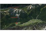 2
2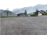 3
3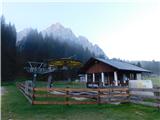 4
4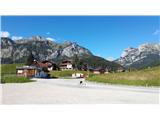 5
5 6
6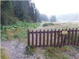 7
7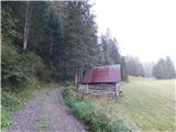 8
8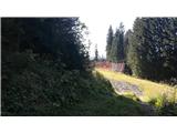 9
9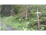 10
10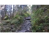 11
11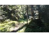 12
12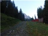 13
13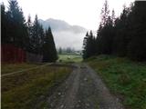 14
14 15
15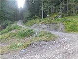 16
16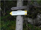 17
17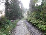 18
18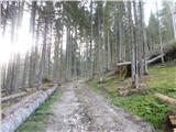 19
19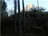 20
20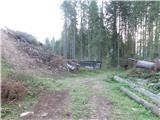 21
21 22
22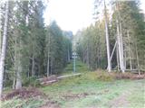 23
23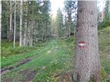 24
24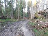 25
25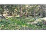 26
26 27
27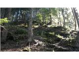 28
28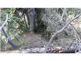 29
29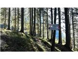 30
30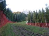 31
31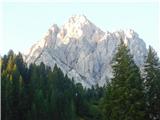 32
32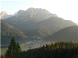 33
33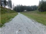 34
34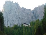 35
35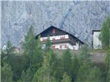 36
36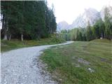 37
37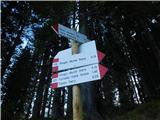 38
38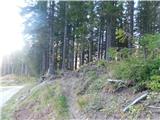 39
39 40
40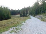 41
41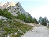 42
42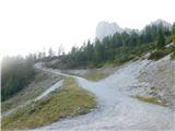 43
43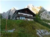 44
44
Discussion about the trip Cima Sappada - Rifugio Monte Siera
To post a comment you must log in:
If you do not yet have a username, you must first
register.