Ciganija - Koča na Naravskih ledinah
Starting point: Ciganija (1100 m)
| Latitude/Longitude: | 46,4532°N 14,9571°E |
| |
Walking time: 1 h 30 min
Difficulty: easy marked way
Elevation gain: -28 m
Elevation difference along the route: 100 m
Map: Kamniške in Savinjske Alpe 1:50.000
Recommended equipment (summer):
Recommended equipment (winter):
Views: 7.471
 | 1 person like this post |
Access to starting point:
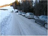
First, we drive to Šoštanj, then we continue driving in the direction of Črna na Koroškem. Just a little after the pass Spodnje Sleme we will notice a road which turns right in the direction of Uršlja gora (the turn-off is marked). This road, which in winter is cleared of snow and usually salted, we follow for approximately 1.5 km to a crossroads at which we notice a cross and numerous hiking signposts. We park on the parking lot by the road.
From Črna na Koroškem we drive in the direction of Šoštanj. Just a little before the pass Spodnje Sleme we notice a road which branches off sharply left from the main road in the direction of Uršlja gora. Further, follow the above description.
Route description:
From the parking lot, we continue on the right road in the direction of Uršlja gora and Naravske ledine. The road goes immediately into the forest, where it then continues without major changes in altitude to the saddle between Kotnikov vrh and Kavnikov vrh. We continue further in the direction of Uršlja gora on the road, which from here starts to descend more steeply. The road then flattens and after approximately 45 minutes of walking from the starting point brings us to a somewhat larger crossroads at the Križan farm.
Here we continue on the left road in the direction of Naravske ledine (straight Uršlja gora). The road then past a hunting cottage in a few minutes brings us to the next crossroads, where we continue on the right upper road (left Žerjav). The road then emerges from the forest onto panoramic grassy slopes from which a beautiful view opens up, reaching from nearby Smrekovec to Peca. The road then returns into the forest and after a shorter ascent brings us to the next crossroads.
We continue left in the direction of Naravske ledine (right Uršlja gora on the road) on the road which from the southern slopes passes to the northern slopes. Then a short descent follows and on the left side we will notice the Koča na Naravskih ledinah to which we have only a few dozen steps of easy walking.

Along the route: Križan (1040m)
Photos:
 1
1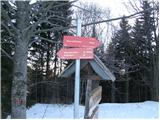 2
2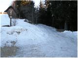 3
3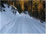 4
4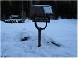 5
5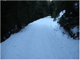 6
6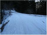 7
7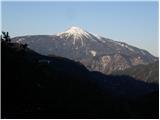 8
8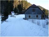 9
9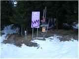 10
10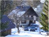 11
11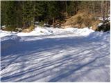 12
12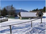 13
13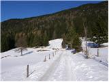 14
14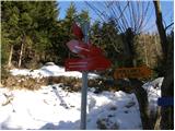 15
15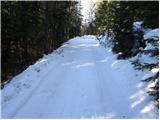 16
16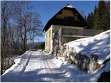 17
17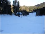 18
18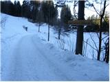 19
19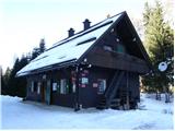 20
20
Discussion about the trip Ciganija - Koča na Naravskih ledinah
To post a comment you must log in:
If you do not yet have a username, you must first
register.