Kapelica sv. Ane - Monte Zajavor
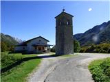
Starting point: Kapelica sv. Ane (1077 m)
| Latitude/Longitude: | 46,33156°N 13,33196°E |
| |
Walking time: 2 h 15 min
Difficulty: partly demanding marked way
Elevation gain: 738 m
Elevation difference along the route: 745 m
Map: Tabacco 26 1:25.000
Recommended equipment (summer):
Recommended equipment (winter): ice axe, crampons
Views: 200
 | 2 people like this post |
Access to starting point:
From the road Kobarid – Bovec in the village Žaga we turn towards the border crossing Učja. When we enter Italy, at the junction we continue right towards the saddle Karnica (Sella Carnizza). We follow the narrow road all the way to the village Njiviza / Gniviza shortly before the Karnica pass. In the mentioned village, at the junction, we turn left towards the chapel of St. Anne. We follow the road to the chapel where we park.
Route description:
At the chapel of St. Anne, where there is a junction, signposts direct us onto a grassy mule track towards the summit of Monte Zaiavor. Straight ahead, the macadam road leads towards the mountain pasture Nizki vrh. Our path quickly brings us into the forest and then turns slightly to the left. Further on, we ascend diagonally in a southeasterly direction, and occasionally a few views open up from the path, mainly towards the north. The path brings us to the northern slopes below the saddle Zajavor. The increasingly panoramic path then climbs several times in zigzags and continues along a somewhat grassier steep slope. We follow this path to the saddle Zajavor, where there is a junction.
To the left, a path leads down into the valley towards the mountain pass Tam na Meji, while we continue right and ascend along a grassy ridge. The path here is marked with red dots and runs along the ridge the entire time. Higher up, the path becomes a shade steeper, and some caution is required especially in wet weather. The path is somewhat less worn, but still distinct enough that we can follow it without difficulty. Along such a path we soon reach the panoramic summit, where a cross stands.

Along the route: Bocchetta di Zaiavor (1619m)
Photos:
 1
1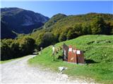 2
2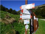 3
3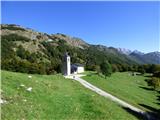 4
4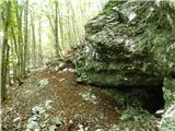 5
5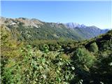 6
6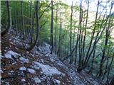 7
7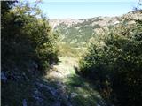 8
8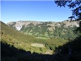 9
9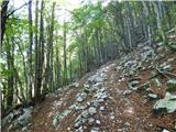 10
10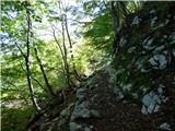 11
11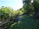 12
12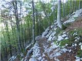 13
13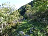 14
14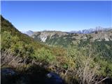 15
15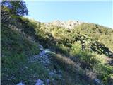 16
16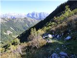 17
17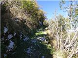 18
18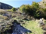 19
19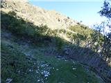 20
20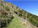 21
21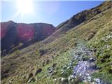 22
22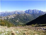 23
23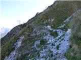 24
24 25
25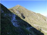 26
26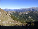 27
27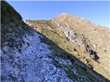 28
28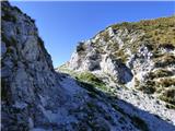 29
29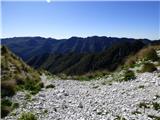 30
30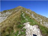 31
31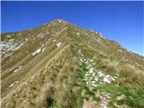 32
32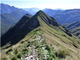 33
33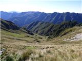 34
34 35
35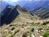 36
36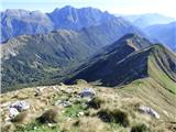 37
37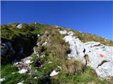 38
38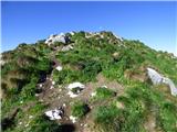 39
39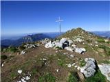 40
40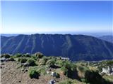 41
41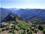 42
42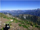 43
43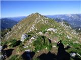 44
44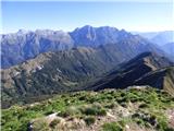 45
45
Discussion about the trip Kapelica sv. Ane - Monte Zajavor
To post a comment you must log in:
If you do not yet have a username, you must first
register.