Čadovlje pri Tržiču - Kušpergarjev turn (Kušpergarjevi turni)
Starting point: Čadovlje pri Tržiču (580 m)
| Latitude/Longitude: | 46,3795°N 14,3248°E |
| |
Walking time: 45 min
Difficulty: partly demanding unmarked way
Elevation gain: 170 m
Elevation difference along the route: 200 m
Map: Karavanke - osrednji del 1:50.000
Recommended equipment (summer): helmet
Recommended equipment (winter): helmet, ice axe, crampons
Views: 2.580
 | 1 person like this post |
Access to starting point:
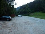
First, we drive to Tržič, and then we continue driving towards the gorge Dovžanova soteska. When Tržič ends, we quickly get to the settlement Čadovlje pri Tržiču, and a little ahead also to a large marked parking lot on the left side of the road.
Route description:
From the parking lot, by which there are information boards and WC, we continue in the direction of the forest educational trail, where the path at first leads on the asphalt road. While walking on the asphalt, the path leads us past the chapel, and then we get to the road tunnel at the narrowest part of the gorge Dovžanova soteska.
Here, still before the tunnel we go sharply right and we still continue the ascent on the forest educational trail. A little higher we step on a cart track, and the path leads us past a few more signposts of the forest educational trail. At the unmarked crossing of cart tracks we continue left (right cart track a little ahead crosses a torrent), and then a few tens of strides ahead a nice view opens up on Kušpergarjevi turni. Here a worse cart track branches off to the right (this crossing as well isn't marked), on which we continue the ascent. Further, during the ascent we notice some marks, and then at the next crossing we continue left (marked). The path ahead leads us below the cliffs, and the footpath starts vanishing. We continue diagonally towards the left, and we stick to the foot of cliffs. After a smaller turn we then notice the partisan cyclostyle Tehnika Kokrškega odreda, to which we quickly get.
From the partisan cyclostyle we continue in approximately the same direction, and a poorly visible path leads us a little below the foot of the cliffs, and a little further it gets closer to them again. Next follows a steep ascent, where we notice some old blazes, and then those end, and a worse footpath steeply ascends diagonally towards the left. When we higher reach a forested broad ridge, we can in a few steps ascend to a smaller viewpoint, otherwise we continue with the crossing. Next follows crossing of the steep slopes, on a worse footpath, and then we get to a smaller saddle, where the path splits.
We continue left, steeply upwards (straight - the path which crosses steep slopes, occasionally it is also secured, brings us to the farm Kušpergar) and we start ascending towards one of the Kušpergarjevi stolpi. The steepness of the path quickly decreases and to the top with a bench and inscription box separates us a few more tens of strides of walking on a relatively narrow and exposed ridge.
Description and pictures refer to the condition in the year 2017 (July).

Along the route: Partizanska tehnika Kokrškega odreda (675m)
Photos:
 1
1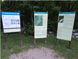 2
2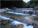 3
3 4
4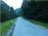 5
5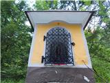 6
6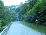 7
7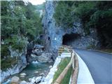 8
8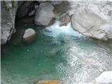 9
9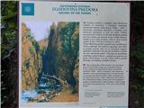 10
10 11
11 12
12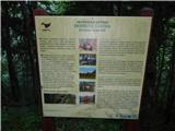 13
13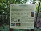 14
14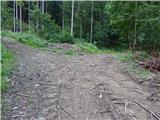 15
15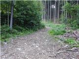 16
16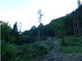 17
17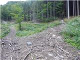 18
18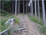 19
19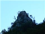 20
20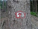 21
21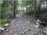 22
22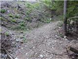 23
23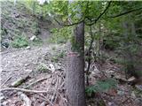 24
24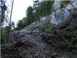 25
25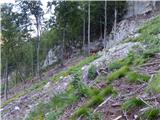 26
26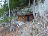 27
27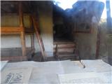 28
28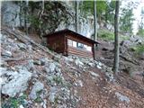 29
29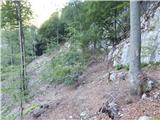 30
30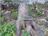 31
31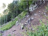 32
32 33
33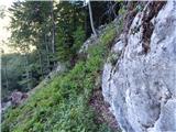 34
34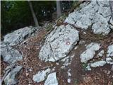 35
35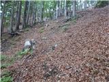 36
36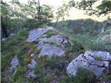 37
37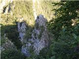 38
38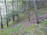 39
39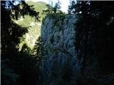 40
40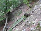 41
41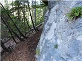 42
42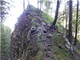 43
43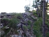 44
44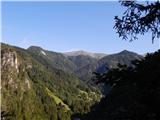 45
45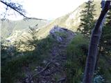 46
46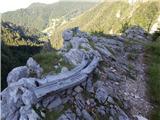 47
47
Discussion about the trip Čadovlje pri Tržiču - Kušpergarjev turn (Kušpergarjevi turni)
|
| Loni9. 08. 2017 |
Locally known as the Pyramids, a week ago we watched climbers from the viewpoint on the other side of the river.
|
|
|
|
| pika18. 11. 2023 19:30:41 |
To update the post a bit. The path is still followable as per the above description, last crossing quite demanding. From the saddle left to the summit, we didn't explore the path further.
Interesting extension of a short trip with wonderful view of the gorge.
|
|
|
To post a comment you must log in:
If you do not yet have a username, you must first
register.