Bruck an der Mur - Hochanger (on road)
Starting point: Bruck an der Mur (492 m)
| Latitude/Longitude: | 47,40512°N 15,27376°E |
| |
Route name: on road
Walking time: 2 h
Difficulty: easy marked way
Elevation gain: 816 m
Elevation difference along the route: 820 m
Map: https://www.bergfex.at
Recommended equipment (summer):
Recommended equipment (winter):
Views: 118
 | 1 person like this post |
Access to starting point:
We leave the Maribor-Graz-Salzburg highway (A9) after a few shorter tunnels outside Graz and continue right on the expressway in the direction of Wien-Bruck/Muhr-Peggau.
After approximately 35 km we arrive at the junction Bruck/Mur, Klagenfurt/Salzburg, Wien, where we follow the direction for Bruck/Mur.
A roundabout follows, where we choose the 3rd exit for Weitental. At the next two turn-offs we keep right both times for the direction of Weitental.
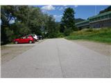
Then we drive left through the underpass and arrive at the parking lot on the left. Here we park.
Route description:
From the parking lot, we go back from the direction of arrival over a small bridge and then immediately right towards the underpass.
On a pleasant path in the shade and along the stream upwards, we come to a crossing of three paths.
We continue left in the direction of Hochanger "über Demarstraße".
We walk on a steep macadam road, at all crossings going straight or keeping to the direction for Hochanger.
After just under 7 km and slightly over 800 meters of elevation, we arrive at the mountain hut "Schutzhaus Hochanger".
To the right of the hut, we notice a cross on the top of Hochanger. After 200 meters of walking, we reach the top.
The path along the road is simple and uneventful, but in some parts it is still quite steep.
Photos:
 1
1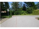 2
2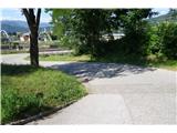 3
3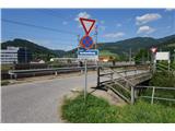 4
4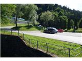 5
5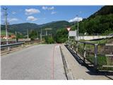 6
6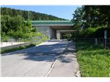 7
7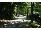 8
8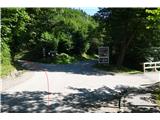 9
9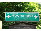 10
10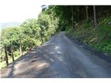 11
11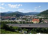 12
12 13
13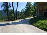 14
14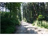 15
15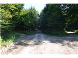 16
16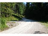 17
17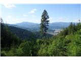 18
18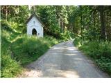 19
19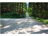 20
20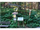 21
21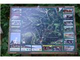 22
22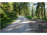 23
23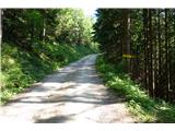 24
24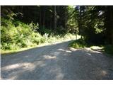 25
25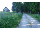 26
26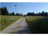 27
27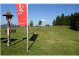 28
28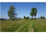 29
29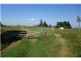 30
30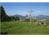 31
31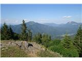 32
32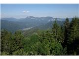 33
33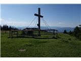 34
34 35
35
Discussion about the trip Bruck an der Mur - Hochanger (on road)
To post a comment you must log in:
If you do not yet have a username, you must first
register.