Briše - Sveti Martin above Briše
Starting point: Briše (375 m)
| Latitude/Longitude: | 46,0542°N 14,3033°E |
| |
Walking time: 35 min
Difficulty: easy unmarked way
Elevation gain: 192 m
Elevation difference along the route: 192 m
Map: Škofjeloško in Cerkljansko hribovje 1:50.000
Recommended equipment (summer):
Recommended equipment (winter):
Views: 4.083
 | 1 person like this post |
Access to starting point:
From Horjul or Dobrova we drive to Polhov Gradec, and then we continue driving towards Gorenja vas. Only a little after Polhov Gradec, at the end of the village Briše, we will notice beside the road the church of the Holy Three Kings and only a few meters before it the signs for Terme Briše, which direct us to the left onto a macadam road, which we then follow for approximately 100 m to the parking lot in front of the natural swimming pool Terme Briše.
Route description:
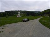
From the parking lot at Terme Briše, we return to the main road, which we carefully cross, and then we continue on the asphalt road in the direction of St. Martin. We continue on a gently sloping road which leads us by a smaller stream. After a few minutes of walking, the road splits into two parts, and we follow it to the left and continue the ascent in the direction of Setnik and St. Martin. The road ahead loses its asphalt covering and starts to ascend more steeply. Higher, we step out of the forest, and the road brings us to some isolated houses. Further, we ascend along the edge of the forest, an increasingly panoramic road past a sign - a cross, brings us into a strip of forest, after which we come to the last house in the village. Further, the road ends, and we continue on a wide cart track, on which in a few dozen strides of additional walking we arrive at the church of St. Martin.
Photos:
 1
1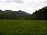 2
2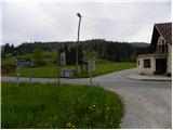 3
3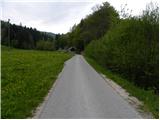 4
4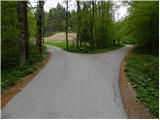 5
5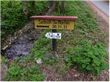 6
6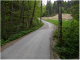 7
7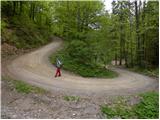 8
8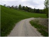 9
9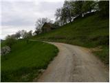 10
10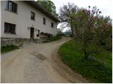 11
11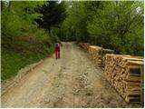 12
12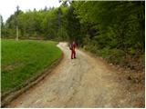 13
13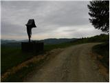 14
14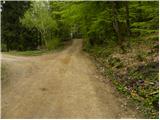 15
15 16
16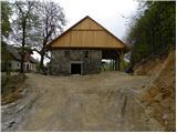 17
17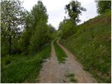 18
18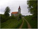 19
19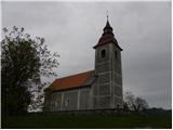 20
20 21
21
Discussion about the trip Briše - Sveti Martin above Briše
To post a comment you must log in:
If you do not yet have a username, you must first
register.