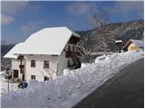
Starting point: Breznica (770 m)
| Latitude/Longitude: | 46,1676°N 14,2537°E |
| |
Walking time: 40 min
Difficulty: easy marked way
Elevation gain: 255 m
Elevation difference along the route: 255 m
Map: Škofjeloško in Cerkljansko hribovje 1:50.000
Recommended equipment (summer):
Recommended equipment (winter):
Views: 75.484
 | 6 people like this post |
Access to starting point:
First, we drive to Škofja Loka and from there we continue driving in the direction of Gorenje vasi. In the village Podpulfrca (which is located immediately after Škofja Loka) we leave the main road and go right in the direction of the village Breznica and Gabrovo (by the road there is also a sign for the mountain hut Koča na Lubniku). We then follow the ascending road to the inn "Pri Nacetu", which is situated in the upper part of the village Breznica pod Lubnikom. We park on one of the parking lots by the road before or after the village (parking "Pri Nacetu" is only allowed for guests).
Route description:
Near the inn "Pri Nacetu" we notice signposts for Lubnik, which direct us to a footpath that at first ascends diagonally across a panoramic grassy slope. The path then goes into the forest and a little higher joins a wide cart track.
We continue in the same direction (sharply left Praprotno) on at first a quite gentle cart track to which the path from the village Gabrovo soon joins. We still continue on a wide cart track, which further ascends a little more steeply. A little higher the path from Podlubnik also joins from the right, and we continue on the cart track which after a few more minutes of walking brings us to the summit of Lubnik.
Photos:
 1
1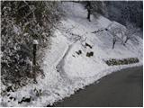 2
2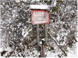 3
3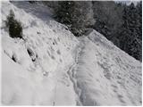 4
4 5
5 6
6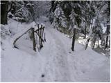 7
7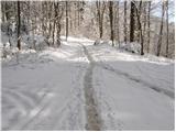 8
8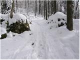 9
9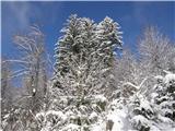 10
10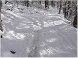 11
11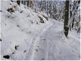 12
12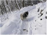 13
13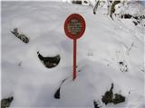 14
14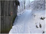 15
15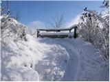 16
16 17
17
Discussion about the trip Breznica - Lubnik
|
| Gost3. 12. 2006 |
it was great
caretakers in the hut very friendly
I'll return to Lubnik
mountaineer's greeting
grozdana
|
|
|
|
| Gost13. 10. 2007 |
nice
|
|
|
|
| Gost16. 10. 2007 |
 The caretaker could tidy up the surroundings better, which look untidy if not already neglected The caretaker could tidy up the surroundings better, which look untidy if not already neglected
|
|
|
|
| Gost16. 10. 2007 |
neglected to put it mildly
|
|
|
|
| klavdy626. 04. 2009 |
Despite the cloudy weather, a nice trip during which no discomfort is noticed at all
|
|
|
|
| Lisica17. 11. 2012 |
40 min? Maybe from the village up, but if you already park by the road it's at least 1 hour+. Nice trip, nice hill.
|
|
|
|
| marinca11. 05. 2013 |
Great trip, plenty of pleasant walking, also suitable for children. The hosts at the hut on Lubnik are very friendly. It's worth stopping in Breznica at the Malina refreshment place, where they also serve you well!
|
|
|
|
| malihodec21. 06. 2013 |
Please admin, check and correct the coordinates. The currently published ones for Breznica village will take you near Žirovnica in Gorenjska. On Navigon I measured coordinates: 46,1006 and 14,1512.
Regarding the trip, I agree with Marinca.
Thanks and best mountaineering regards
|
|
|
|
| Tadej21. 06. 2013 |
I checked the coordinates and they are correct.
When entering coordinates into your navigation devices, be careful to enter them in decimal format and not in degrees, minutes, and seconds.
Best, Tadej
|
|
|
|
| glorija2. 05. 2021 15:34:50 |
Well-marked trail, very friendly staff of the hostess who kindly served me delicious food, and with the gentleman working in the hut we chatted at the starting point after completing the hike... Highly recommend, I'll happily return ..lp
|
|
|
To post a comment you must log in:
If you do not yet have a username, you must first
register.