Brezje pri Dobrovi - Strmca
Starting point: Brezje pri Dobrovi (330 m)
| Latitude/Longitude: | 46,0235°N 14,3488°E |
| |
Walking time: 25 min
Difficulty: easy marked way
Elevation gain: 142 m
Elevation difference along the route: 142 m
Map: Ljubljana - okolica 1:50.000
Recommended equipment (summer):
Recommended equipment (winter):
Views: 4.690
 | 1 person like this post |
Access to starting point:
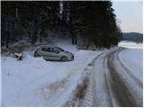
A) From highway Ljubljana - Koper, we go to the exit Brezovica, and then we continue driving in the direction of Dobrova. From the roundabout in Dobrova, we drive in the direction of Horjul, and then we continue driving to the settlement Brezje pri Dobrovi. Here in the middle of the settlement, we turn left on a local road, on which we lightly descend to the bridge over the river Horjulščica. After the bridge, the road turns right, and we park at an appropriate place by the road.
B) From highway Koper - Ljubljana, we go to the exit Vrhnika, and then we continue driving towards Horjul. In Horjul we turn right towards Dobrova and Ljubljana, and we follow the main road to the settlement Brezje pri Dobrovi. Here in the middle of the settlement, we turn right on a local road, on which we lightly descend to the bridge over the river Horjulščica. After the bridge, the road turns right, and we park at an appropriate place by the road.
Route description:
At the starting point, we notice the blazes, which from the road point us slightly to the left on an ascending cart track. After a short ascent, the cart track on the left side bypasses a few nearby houses, and then it turns a little more to the left and is for some time still moderately ascending through the forest. Higher, the cart track flattens, and blazes from the cart track point us sharply right on a marked footpath, on which in 10 minutes of additional walking, we get to an indistinct peak of Strmca, which is entirely covered with forest.
Photos:
 1
1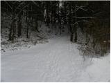 2
2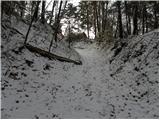 3
3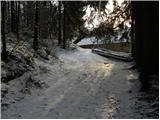 4
4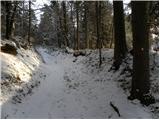 5
5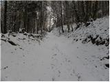 6
6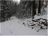 7
7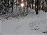 8
8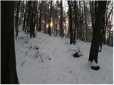 9
9 10
10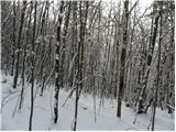 11
11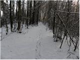 12
12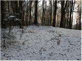 13
13 14
14
Discussion about the trip Brezje pri Dobrovi - Strmca
To post a comment you must log in:
If you do not yet have a username, you must first
register.