OMP Remšnik - Kapunerhütte (Austrian path)
Starting point: OMP Remšnik (735 m)
| Latitude/Longitude: | 46,6523°N 15,3079°E |
| |
Route name: Austrian path
Walking time: 2 h 20 min
Difficulty: easy marked way
Elevation gain: 268 m
Elevation difference along the route: 365 m
Map: Pohorje - izletniška karta 1:50.000
Recommended equipment (summer):
Recommended equipment (winter): ice axe, crampons
Views: 302
 | 1 person like this post |
Access to starting point:
A) From Dravograd we drive towards Maribor, but only to the village of Vas, where we continue left towards Remšnik. There follows an ascent to the mentioned settlement, where a little before the parish church of St. Jurij we continue sharply left. Further on, we drive past the homesteads Kajzar and Helbel; at the latter we continue on the right road, then we also go past the homesteads Prelank, where we go left, and Korenk, which we bypass on the left side. There follow some more crossings, where at the crossroads we continue straight. When we arrive at the state border, we park at an appropriate place by the road. The border crossing Remšnik is located a few 100 m further ahead.
B) From Maribor we drive towards Dravograd, but only to the settlement Brezno, where we turn right in the direction of the settlements Brezni Vrh and Remšnik. Higher up we leave the road towards Remšnik and continue straight towards Brezni Vrh. A few meters further we continue slightly right, then we drive past the homesteads Hager, Podržavnik, Kompar, Breznik, where we go left towards Austria, then there follow some more crossings and we arrive at the border crossing with Austria. Here we go left and drive approximately another 500 m to the next crossroads, where we park at an appropriate place.
Route description:
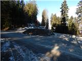
From the starting point we head onto the footpath, which branches off from the road at the sign for the state border. The path leads us westwards and ascends through the forest and along the state border. A little further some views open up on the Slovenian side, higher up, when the path brings us out of the forest, also on the Austrian side. There follows a shorter steeper ascent along the upper part of the panoramic meadow and we already arrive at the church of St. Pankracij.
From the church we continue further westwards, then past the chapel we quickly arrive at a marked junction, from which we continue right in the direction of the hut Kapunerhütte (left St. Urban and Slovenian path to Kapunar). The path ahead runs on the Austrian side of the state border and leads us along a gentle cart track. A little further one of the paths from Ivnik / Eibiswald joins us from the right, while we continue towards the hut Kapunerhütte and Radeljski prelaz. The path ahead leads us past a lonely house (holiday cottage), then at a smaller junction we choose the upper, left road, to which the blazes also direct us. From the road we go right after a few steps onto the marked path, which leads us through the forest for some time; at the junctions we follow the blazes. After crossing the grazing fence we arrive at a larger panoramic pasture, from which a nice view opens towards Golica and the surrounding mountains. In the middle of the pasture the path also leads past the nearby house, then we gradually return to the forest. In the forest we reach the state border and arrive at a junction, where one of the paths towards the church of St. Urban branches off left downwards, while we continue straight and proceed along the Austrian side of the ridge. After the junction we also go past a shrine and continue past numerous bird feeders. Further on the path entirely returns to the Austrian side and then leads us also past the farm Hubenlenz, from where a nice view opens up again. There follows some walking through the forest, at border stone XII 102 we approach the state border again. Here we come very close to the path which runs on the Slovenian side and leads past St. Urban; after the nearby cross we again move away from the state border. When the path further on temporarily brings us out of the forest, we go past the farm Waldgregor, behind which we continue slightly left along a narrower road. It does not take long before we return to the state border, along which on the Slovenian side also runs the Slovenian path. For a few minutes we walk completely together with the Slovenian path, then we already arrive at the hunting cross, where the paths separate.
The path ahead leads us along a cart track or poorer road; after a few minutes from the junction at the trough with water we go slightly left onto the ascending cart track. There follows a little ascent and some views, then we arrive at a marked junction, where the path from Radlje ob Dravi joins us.
We reach the junction at a smaller saddle between the two peaks of Kapunar (the German names for the peaks are Kapunerkogel and Klementkogel).
From the saddle we continue in the direction of the hut Kapunerhütte, where we first still walk along the ridge, then the path turns right onto the Austrian side and descends to the mentioned hut in a few minutes.
OMP Remšnik - St. Pankracij 0:25, St. Pankracij - Kapunerhütte 1:55.
The description and pictures refer to the conditions in 2018 (December).

Photos:
 1
1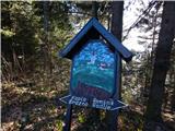 2
2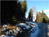 3
3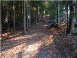 4
4 5
5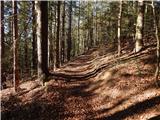 6
6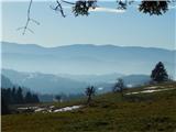 7
7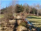 8
8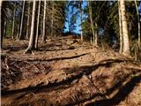 9
9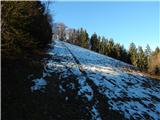 10
10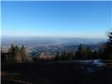 11
11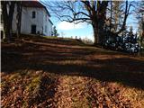 12
12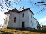 13
13 14
14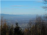 15
15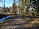 16
16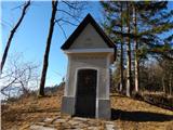 17
17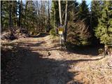 18
18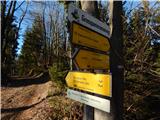 19
19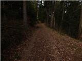 20
20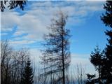 21
21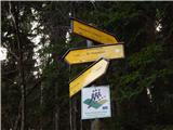 22
22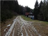 23
23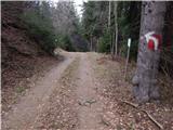 24
24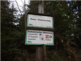 25
25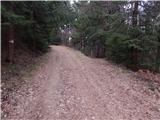 26
26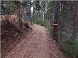 27
27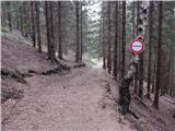 28
28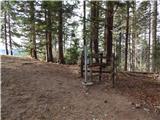 29
29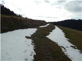 30
30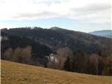 31
31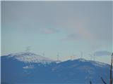 32
32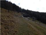 33
33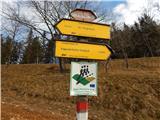 34
34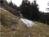 35
35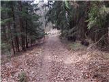 36
36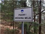 37
37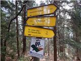 38
38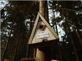 39
39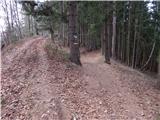 40
40 41
41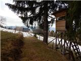 42
42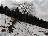 43
43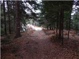 44
44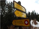 45
45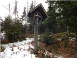 46
46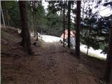 47
47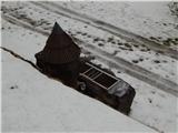 48
48 49
49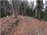 50
50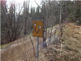 51
51 52
52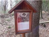 53
53 54
54 55
55 56
56 57
57 58
58 59
59 60
60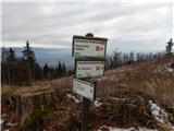 61
61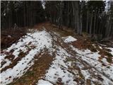 62
62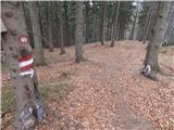 63
63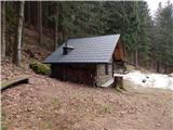 64
64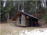 65
65
Discussion about the trip OMP Remšnik - Kapunerhütte (Austrian path)
To post a comment you must log in:
If you do not yet have a username, you must first
register.