Mejni prehod Lipica - Kokoš (steep way)
Starting point: Mejni prehod Lipica (410 m)
| Latitude/Longitude: | 45,6538°N 13,8807°E |
| |
Route name: steep way
Walking time: 50 min
Difficulty: easy marked way
Elevation gain: 260 m
Elevation difference along the route: 260 m
Map: Primorje in Kras 1:50.000
Recommended equipment (summer):
Recommended equipment (winter):
Views: 16.869
 | 2 people like this post |
Access to starting point:
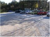
From the highway Ljubljana - Koper, we take the exit Divača and follow the road ahead in the direction of the villages Lokev and Lipica. Further, we drive through the village Lokev, behind which we soon come to a crossroads, where the road branches off to the right towards the village Lipica. Here we continue straight in the direction of Italy. Only a little before the border crossing (near the casino), we park on a macadam parking lot. Parking in front of the casino is allowed only for guests.
Route description:
Between the parking lot and border crossing we will notice a macadam road which from the main road branches off to the left. After a few steps along this road we will notice signposts for Kokoš. We continue on the road which barely ascends and after approximately 30 minutes of ascent the path brings us to a marked junction. We continue right in the direction of »Kokoš strma pot« (straight Kokoš on the road) on the path which starts to ascend more steeply through the forest. Higher, the path from the forest passes onto a smaller scree after which it flattens. Further along the path we notice border stones and only a little further the sign with the caption »pozor državna meja«.
We continue on the Slovenian side on a marked footpath which further starts slightly descending and after a few minutes joins the forest road which we left lower down. We continue slightly right and follow the gentle road all the way to the top of Kokoš, where there is a mountain hut.
Photos:
 1
1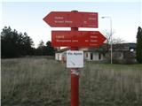 2
2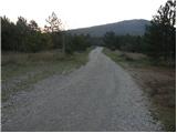 3
3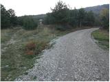 4
4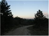 5
5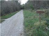 6
6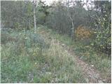 7
7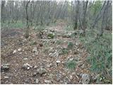 8
8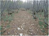 9
9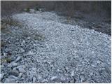 10
10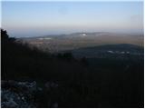 11
11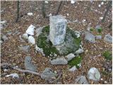 12
12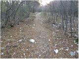 13
13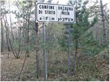 14
14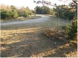 15
15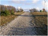 16
16 17
17
Discussion about the trip Mejni prehod Lipica - Kokoš (steep way)
To post a comment you must log in:
If you do not yet have a username, you must first
register.