Starting point: Bohinjsko sedlo (1277 m)
| Latitude/Longitude: | 46,2409°N 14,0101°E |
| |
Walking time: 1 h 10 min
Difficulty: easy unmarked way
Elevation gain: 31 m
Elevation difference along the route: 125 m
Map: Škofjeloško in Cerkljansko hribovje 1:50.000
Recommended equipment (summer):
Recommended equipment (winter): ice axe, crampons
Views: 1.290
 | 2 people like this post |
Access to starting point:
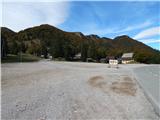
A) From the highway Ljubljana - Jesenice, we take the exit Lesce and follow the road towards Bled and further towards Bohinjska Bistrica. From Bohinjska Bistrica, we continue left in the direction of Tolmin and Soriška planina. We then follow this road to a large parking lot near the ski center Soriška planina.
B) From Železniki, we drive towards Podbrdo or vice versa, but only to the spot where the signs for Soriška planina direct us onto an ascending road. We then follow this road to a large parking lot at the foot of the ski area Soriška planina.
Route description:
From the parking lot below the ski center Soriška planina, we continue on the asphalt road towards Železniki and Podbrdo. Soon, i.e., after approximately 50 m, we will notice signs for Ratitovec on the left side of the road, which direct us onto a marked footpath; this at first descends along a cart track, then turns left and changes into a somewhat harder-to-follow path. The path ahead leads us across a larger grassy clearing, behind it crosses a strip of forest, then brings us to another clearing, where we step onto a wide cart track. We follow the cart track to the right and walk along it to the nearby road, which we reach right on the lower part of a short asphalt section. When we step onto the road, we first ascend, then gradually begin to descend. Lower down, in a smaller valley, we leave the road once again, as the blazes direct us right onto a footpath, which after a few minutes returns to the road, along which we continue right to the marked junction on the saddle Mišji grund.
From the saddle, we continue along the road (left Ratitovec, straight down Spodnje and Zgornje Danje), which leads us towards the west. We leave the marked path leading towards the starting point Soriška peč at the spot where the road turns slightly left and begins gradually to descend.
We descend along the road to the first left bend, but from this bend we continue right onto a cart track, which subsequently crosses the slopes towards the left. We follow this cart track to its end, where we continue right onto a followable path, along which in a minute or two we ascend to the panoramic Erbelc.
Description and pictures refer to the condition in 2016 (October).

Photos:
 1
1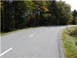 2
2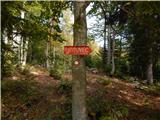 3
3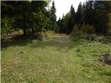 4
4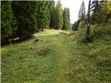 5
5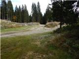 6
6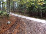 7
7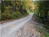 8
8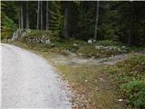 9
9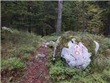 10
10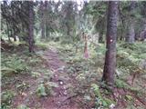 11
11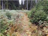 12
12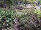 13
13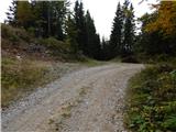 14
14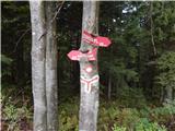 15
15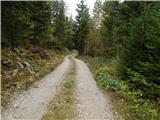 16
16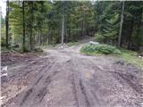 17
17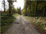 18
18 19
19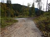 20
20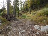 21
21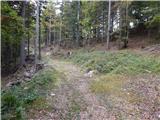 22
22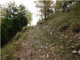 23
23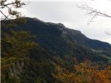 24
24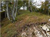 25
25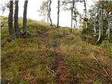 26
26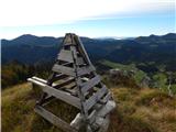 27
27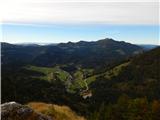 28
28 29
29
Discussion about the trip Bohinjsko sedlo - Erbelc
To post a comment you must log in:
If you do not yet have a username, you must first
register.