Bohinjska Bistrica - Črna prst (via Orožnova koča)
Starting point: Bohinjska Bistrica (530 m)
| Latitude/Longitude: | 46,2702°N 13,9568°E |
| |
Route name: via Orožnova koča
Walking time: 3 h 40 min
Difficulty: easy marked way
Elevation gain: 1314 m
Elevation difference along the route: 1374 m
Map: TNP 1:50.000
Recommended equipment (summer):
Recommended equipment (winter): ice axe, crampons
Views: 33.510
 | 3 people like this post |
Access to starting point:
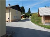
A) First, we drive to Bled, then we continue driving towards Bohinj. When we arrive in Bohinjska Bistrica, from the roundabout we continue in the direction of Soriška planina and Tolmin, then we arrive at Jelovška cesta, where at house number 10 the described path begins. We park somewhere nearby, best at the foot of the former ski slope Kobla.
B) From Železniki or Petrovo Brdo we drive to Bohinjska Bistrica, where on Jelovška cesta at house number 10 the described path begins. We park somewhere nearby, best at the foot of the former ski slope Kobla.
C) We can also reach the starting point by train.
Route description:
From Jelovška cesta 10 we continue towards the southwest, where after a few meters we notice the mountain signposts for Črna prst. From the houses the path passes onto a cart track, along which in a few minutes we ascend to the military cemetery from the First World War Rebro. The marked path bypasses the cemetery on the right side, then leads us across an expansive meadow, where a few minutes further we join a somewhat wider cart track. We continue slightly left, then some 10 meters further we cross a macadam road, where the initially distinct cart track gradually begins to ascend. Higher, at the cart track junction we choose the right branch, beside which there are old signs for Črna prst, from it a bit higher we go once again slightly right onto a footpath that starts to ascend more steeply. All the time we ascend beside quite rare signs, then on a smaller mowed meadow we reach a cart track, which we follow to the left, along it in a few steps we reach a wider macadam road.
When we reach the road we continue left downhill following the signs for Črna prst (right old path towards Orožnova koča), some 10 steps lower at the marked junction we turn right in the direction of Črna prst, Planina za Črno goro and Orožnova koča. The path ahead bypasses a private house on the right side (formerly Planinski dom dr. Janeza Mencingerja), then a little further it joins a cart track, along which we continue the ascent. A little higher, at the junction we continue right, then the path continues through the forest. A little further the path leads past a log cabin and a cross, then we already arrive at a marked junction, where we continue right in the direction of Orožnova koča (left Planina za Črno goro).
The path ahead crosses the slopes somewhat to the right, meanwhile also descending noticeably. When the descent ends, an old path joins us from the right, which is somewhat shorter but officially no longer marked. There follows walking on a forest path, where we cross several cart tracks, at the marked junction we continue on the right path. A few minutes higher we reach a forest road, which we merely cross (right Orožnova koča via drč).
There follows a relatively steep ascent through the forest, higher a somewhat longer path via drč joins from the right.
We continue left and in a few minutes arrive at Orožnova koča on Planina za Liscem.
From the hut we continue in the direction of Črna prst, on the path that enters the forest and initially follows the botanical trail. After the initial ascent the path quickly flattens, then ascends transversely to the right, occasionally also descending a little. Higher the botanical trail turns right, we continue on the marked path, which gradually becomes steeper, meanwhile also emerging from the forest. There follows ascent on the slopes of Črna prst, where the path temporarily becomes more rocky and for a short time also quite steep. The steepness quickly eases, the path turns left, where it ascends transversely across a short quite steep slope, then the path and slope flatten, and just a little further we arrive at a marked junction, where the path from Planina za Črno goro and the path from Soriška planina join.
We continue right and in a few steps ascend to the saddle Čez Suho, from where a beautiful view opens towards the south.
Here we continue right in the direction of Črna prst and ascend along and on the panoramic ridge. The path quickly flattens and passes to the sun-facing slopes, where we easily ascend quite steep grassy slopes. A little further the path turns slightly right and ascends to Dom Zorka Jelinčiča na Črni prsti.
We bypass the hut on the left side and in one minute steeply ascend to the summit of Črna prst.
Bohinjska Bistrica - Orožnova koča 2:20, Orožnova koča - Čez Suho 1:05, Čez Suho - Črna prst 15 minutes.
Description and pictures refer to the condition in 2017 (August).

Photos:
 1
1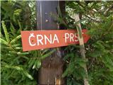 2
2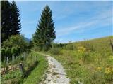 3
3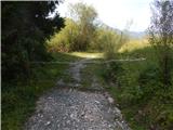 4
4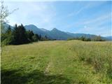 5
5 6
6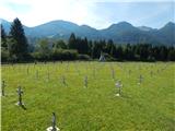 7
7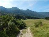 8
8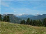 9
9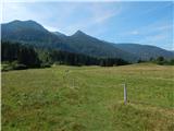 10
10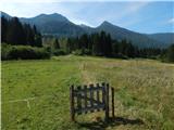 11
11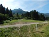 12
12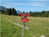 13
13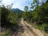 14
14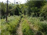 15
15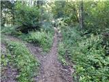 16
16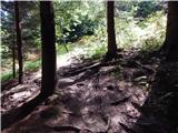 17
17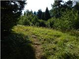 18
18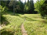 19
19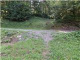 20
20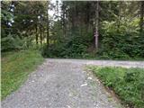 21
21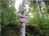 22
22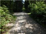 23
23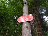 24
24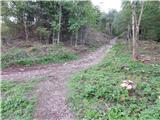 25
25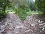 26
26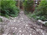 27
27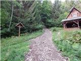 28
28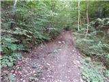 29
29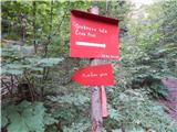 30
30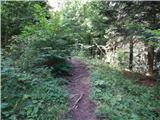 31
31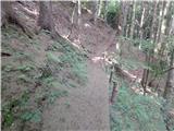 32
32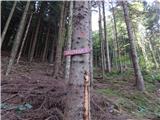 33
33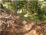 34
34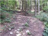 35
35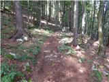 36
36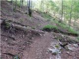 37
37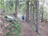 38
38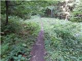 39
39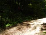 40
40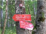 41
41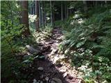 42
42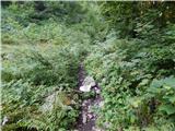 43
43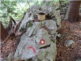 44
44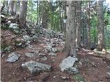 45
45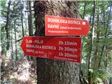 46
46 47
47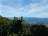 48
48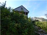 49
49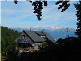 50
50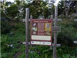 51
51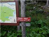 52
52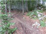 53
53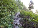 54
54 55
55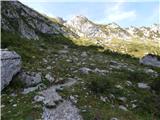 56
56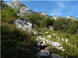 57
57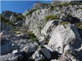 58
58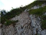 59
59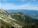 60
60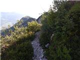 61
61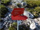 62
62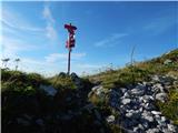 63
63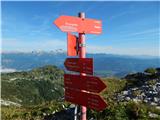 64
64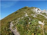 65
65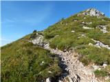 66
66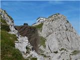 67
67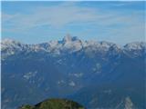 68
68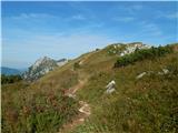 69
69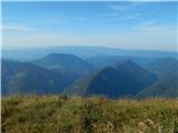 70
70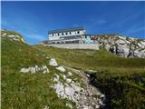 71
71 72
72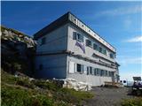 73
73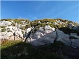 74
74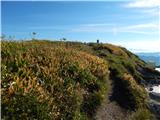 75
75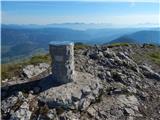 76
76 77
77
Discussion about the trip Bohinjska Bistrica - Črna prst (via Orožnova koča)
|
| darinka429. 10. 2024 21:34:00 |
Nice day today. By train as usual to Bohinjska Bistrica. Since the days are short, we decided during the descent where to go. Circular path is behind us. So we arrived in time without rushing to the train to Bohinjska Bistrica.
|
|
|
To post a comment you must log in:
If you do not yet have a username, you must first
register.