Starting point: Bjelsko (625 m)
Walking time: 1 h 15 min
Difficulty: difficult marked way
Elevation gain: 556 m
Elevation difference along the route: 557 m
Map:
Recommended equipment (summer):
Recommended equipment (winter):
Views: 9.214
 | 1 person like this post |
Access to starting point:
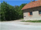
We leave the Zagreb-Split highway at the Ogulin exit. Through Ogulin we continue toward the settlement Vrbovsko, and at the end of the town, by the NK Dobra football field, we reach a crossroads where we continue toward Jasenak. We continue over the bridge over the Dobra and drive a few more kilometers, then arrive at the village Bjelsko. The start of the path is by an abandoned building, where there is plenty of parking space.
Route description:
From the starting point or parking lot we go into the forest, where we cross some forest roads. Higher up, the path leads us through a smaller meadow, and then brings us into a beech forest. We walk on a wide and well-trodden path, which then moderately to steeply ascends. Higher up, the path becomes more rocky and joins the path from Ogulin.
After the crossing, we reach a bench for rest, followed by two turns. After the second zigzag, a steep ascent follows, and the path then soon flattens. Here, where the path flattens, we are near the cottage, as indicated by a welcome sign, and a memorial plaque is also located nearby.
At the cottage, which is situated exactly at 1000 meters above sea level, we can rest and have a snack, or even sleep (the cottage is supplied only with beverages!).
From the cottage, we head west on a gentle path, which is partly gravelly and rocky, as it runs below cliffs, and it also leads us past an interesting cave. When the path begins to ascend more steeply, we reach a crossing where paths from Vitunj and Kamačnik join.
The path ahead ascends via steps, above which an outstanding view opens up. We continue left to the east and reach the most challenging part of the path.
This section is not secured with a steel cable but with a rope. Even after the fixed safety gear ends, we continue ascending for some time on a steep, exposed slope, but then the path finally flattens.
The path ahead leads us past a helicopter landing area, and we continue straight east along a narrow ridge, which is secured with steel cables in some parts. A little further, we arrive just below the summit, where, in a moderately challenging ascent, we climb to the top of Klek.

Along the route: Planinska koča na Kleku (1000m)
Photos:
 1
1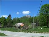 2
2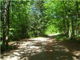 3
3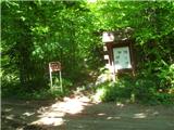 4
4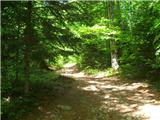 5
5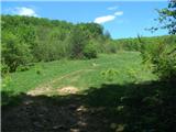 6
6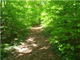 7
7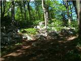 8
8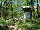 9
9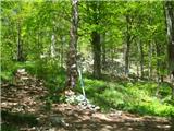 10
10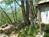 11
11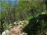 12
12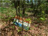 13
13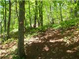 14
14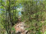 15
15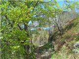 16
16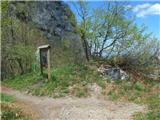 17
17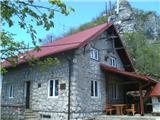 18
18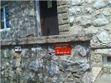 19
19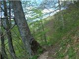 20
20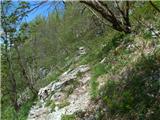 21
21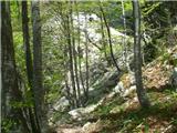 22
22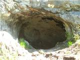 23
23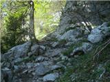 24
24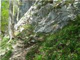 25
25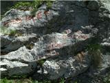 26
26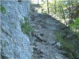 27
27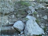 28
28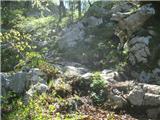 29
29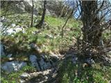 30
30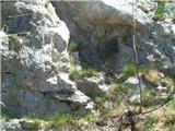 31
31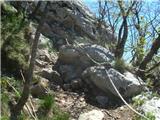 32
32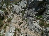 33
33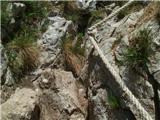 34
34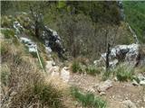 35
35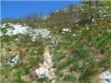 36
36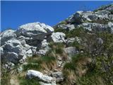 37
37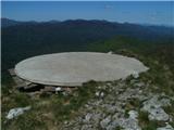 38
38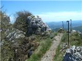 39
39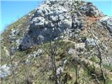 40
40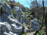 41
41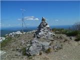 42
42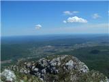 43
43
Discussion about the trip Bjelsko - Klek
To post a comment you must log in:
If you do not yet have a username, you must first
register.