Bizeljska vas - Svete gore
Starting point: Bizeljska vas (364 m)
| Latitude/Longitude: | 46,0462°N 15,6815°E |
| |
Walking time: 30 min
Difficulty: easy marked way
Elevation gain: 163 m
Elevation difference along the route: 163 m
Map: Posavje - Krško gričevje in ravan, Bizeljsko, Gorjanci 1:50.000
Recommended equipment (summer):
Recommended equipment (winter):
Views: 5.488
 | 2 people like this post |
Access to starting point:
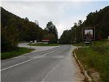
A) From Brežice or Krško we drive to Bizeljsko, and from there we continue driving towards Bistrica ob Sotli. When we get to a smaller pass we leave the main road and continue left towards Svete gore. We park at a suitable place immediately after the crossroads. Parking higher up along the road is prohibited.
B) From the direction of Šentjur, Šmarje pri Jelšah or Rogaška Slatina we drive to Kozjansko or all the way to the settlement Bistrica ob Sotli, from there we continue driving towards Bizeljsko. When we get to the saddle between Bizeljsko and Kozjansko, we continue sharply right in the direction of the shrine Svete gore. We park at a suitable place immediately after the crossroads. Parking higher up along the road is prohibited.
Route description:
From the place where we parked we continue along the ascending asphalt road in the direction of Svete gore. The road along which we walk quickly leads to the mostly northern and forest-covered slopes of the peak Rožca (619 m). During the ascent through the forest a path branches off to the right to the chapel Božja noga, a few 10 meters away; we continue straight ahead, further along the road, which then brings us out of the forest, from where a nice view opens towards the church of the Mother of God on Svete gore. This is followed by a short walk to the crossroads at the former mountain hut, where we continue right to the nearby barrier.
At the barrier we continue left (straight to Svete gore along the road or along the Way of the Cross) along the marked hiking path, which quickly enters the forest. Through the forest we ascend for a short time along a slightly overgrown path, then we already arrive at the first of five church buildings. First we pass the chapel of St. Martin and the chapel of St. Jurij, then also past the church of St. Mother of God; behind it past the chapel of St. Sebastian and Fabian to the highest point, where the Lurška chapel stands, from which there is also a nice view of Kozjansko and Obsotelje.
The description and pictures refer to the condition in 2014 (October).

Photos:
 1
1 2
2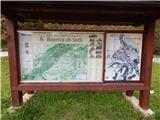 3
3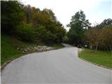 4
4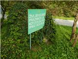 5
5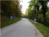 6
6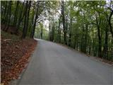 7
7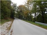 8
8 9
9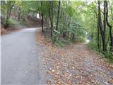 10
10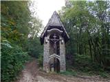 11
11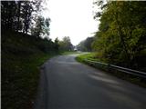 12
12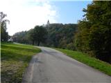 13
13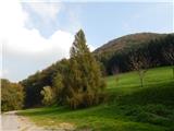 14
14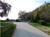 15
15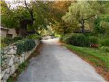 16
16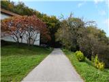 17
17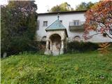 18
18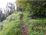 19
19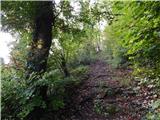 20
20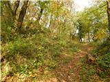 21
21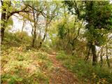 22
22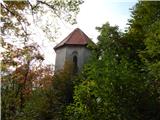 23
23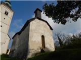 24
24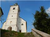 25
25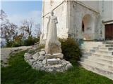 26
26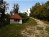 27
27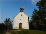 28
28 29
29
Discussion about the trip Bizeljska vas - Svete gore
To post a comment you must log in:
If you do not yet have a username, you must first
register.