Starting point: Bistra (295 m)
| Latitude/Longitude: | 45,9458°N 14,3327°E |
| |
Walking time: 1 h 45 min
Difficulty: easy marked way
Elevation gain: 512 m
Elevation difference along the route: 512 m
Map: Ljubljana - okolica 1:50.000
Recommended equipment (summer):
Recommended equipment (winter):
Views: 4.730
 | 1 person like this post |
Access to starting point:
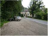
From the highway Ljubljana - Koper, we take the Vrhnika exit and follow the road ahead in the direction of Bistra, where we park on a large parking lot behind the castle Bistra.
Route description:
From the parking lot, we first walk to the castle, where signs for the forest learning path direct us to the stairs, which lead to a quite overgrown path. We continue the ascent on the mentioned path, which after a short ascent through bushes brings us to the tower of the castle Bistra.
From the mentioned tower we continue on a barely visible and very overgrown mountain path, which higher brings us to the double-track railway line. Further with great caution we cross the mentioned track and then ascend on a somewhat less overgrown path. After a few minutes of further ascent, we step on the forest road, which we follow to the left. The road further steeply ascends and quickly brings us to the next crossroad, where we continue left. Further we ascend on the forest road, which brings us to the next crossroad, where from the left side the path from Borovnica joins.
We continue straight on the marked road in the direction of Zavrh. The road further moderately ascends for quite some time, then ends at the junction of numerous cart tracks.
From the end of the road we continue on the marked cart track, which still ascends through dense forest. Higher the cart track turns into a footpath, which brings us out of the forest onto somewhat more panoramic grassy slopes. A little further we reach the paragliding takeoff point, from where a nice view opens up on the Ljubljana Marshes. From here we continue only some 10 meters and the path, which further runs across grassy slopes, quickly brings us to the indistinct peak of Mali Trebelnik.

Photos:
 1
1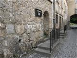 2
2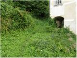 3
3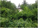 4
4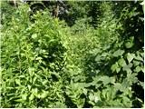 5
5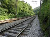 6
6 7
7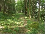 8
8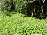 9
9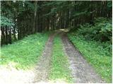 10
10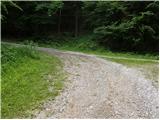 11
11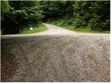 12
12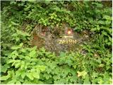 13
13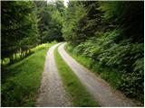 14
14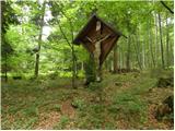 15
15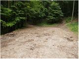 16
16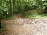 17
17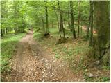 18
18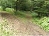 19
19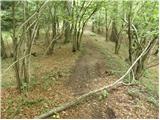 20
20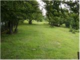 21
21 22
22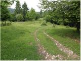 23
23 24
24
Discussion about the trip Bistra - Mali Trebelnik
|
| prepihec13. 05. 2025 07:16:36 |
The path is somewhat changed. It no longer starts at the stairs, but past the castle on the grassy slope. Crossing the tracks is also no longer necessary, as the path goes through an underpass under the tracks. The entire path is well-trodden, so there are no orientation issues.
|
|
|
To post a comment you must log in:
If you do not yet have a username, you must first
register.