Starting point: Belo (650 m)
| Latitude/Longitude: | 46,0789°N 14,3589°E |
| |
Walking time: 40 min
Difficulty: easy marked way
Elevation gain: 159 m
Elevation difference along the route: 170 m
Map: Ljubljana - okolica 1:50.000
Recommended equipment (summer):
Recommended equipment (winter):
Views: 5.024
 | 1 person like this post |
Access to starting point:
A) First, we drive to Medvode, and then we continue driving towards the village of Sora, where at the crossroad we turn left towards Katarina (Topol). Further, we drive through the Ločnica valley, after that a little more winding road brings us to the village Topol. Here at the crossroad we continue right and we continue driving in the direction of the village Belo. From Topol onwards we follow the macadam road to the open-door farm pr' Lenart (we park on an appropriate place somewhere nearby, parking in front of the open-door farm is allowed only for guests).
B) From the Ljubljana - Koper highway we take the Brezovica exit, and then we continue driving in the direction of Dobrova pri Ljubljani and later Polhov Gradec. Just a little before the village Hrastenice, we will get to a crossroad, where signs for the settlements Belo, Topol and Osredek direct us to the right onto an ascending road. We then follow the narrow and steep road to the beginning of the village Topol, where we turn sharply left in the direction of the village Belo. From Topol onwards we follow the macadam road to the open-door farm pr' Lenart (we park on an appropriate place somewhere nearby, parking in front of the open-door farm is allowed only for guests).
Route description:
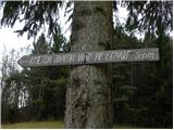
From the open-door farm pr' Lenart, or also from the road a few 10 m before the mentioned farm, we continue slightly right onto a panoramic grassy ridge, along the top of which runs a worse partly cart-track road. Along the mentioned road we walk to its end, then we continue along the marked path, which first in a diagonal ascent gently climbs to a smaller saddle. Here the path passes to the other side of the hill and continues gently ascending for some time along a locally quite narrow and leaf-covered path. After approximately half an hour of walking, we join a much wider and better-trodden path from Topol, which we follow to the right. The path ahead leads us past a bench, and we follow it to the nearby second bench, beside which we notice signs for Goljek. Here we leave the wide path that descends towards the village Topol and continue the ascent along a somewhat narrower path that ascends along the black-yellow blazes. We then follow this always marked but locally less traceable path all the way to the 809 m high summit, which we reach after 15 minutes of walking from the last junction.

Photos:
 1
1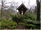 2
2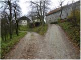 3
3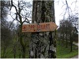 4
4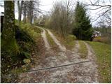 5
5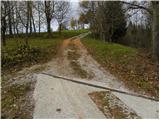 6
6 7
7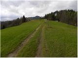 8
8 9
9 10
10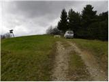 11
11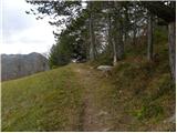 12
12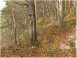 13
13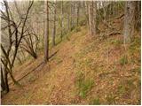 14
14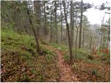 15
15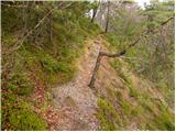 16
16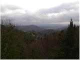 17
17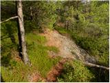 18
18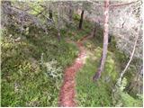 19
19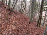 20
20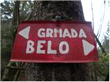 21
21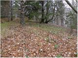 22
22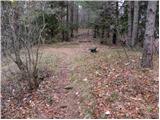 23
23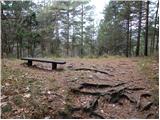 24
24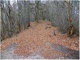 25
25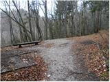 26
26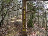 27
27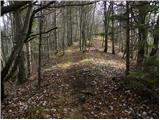 28
28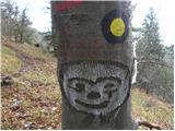 29
29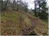 30
30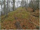 31
31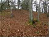 32
32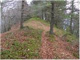 33
33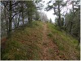 34
34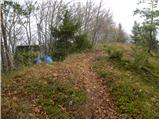 35
35 36
36
Discussion about the trip Belo - Goljek
To post a comment you must log in:
If you do not yet have a username, you must first
register.