Begunje (PGD Begunje) - Sveti Peter above Begunje (Petrova pot)
Starting point: Begunje (PGD Begunje) (573 m)
| Latitude/Longitude: | 46,3751°N 14,1982°E |
| |
Route name: Petrova pot
Walking time: 40 min
Difficulty: easy marked way
Elevation gain: 266 m
Elevation difference along the route: 266 m
Map:
Recommended equipment (summer):
Recommended equipment (winter): ice axe, crampons
Views: 15.240
 | 1 person like this post |
Access to starting point:
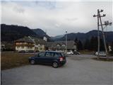
We leave the Gorenjska motorway at the exit Radovljica or Lesce, and then we follow the signs for Begunje na Gorenjskem. When we arrive in Begunje na Gorenjskem, we park on the large parking lot between PGD Begunje and the inn Gostilna pri Jožovcu.
Route description:
Near the fire station we notice signs for St. Peter, which direct us onto an asphalt road that continues through the settlement. From the nearby crossroads at the recycling spot we continue on the slightly left road, and at the next crossroads slightly to the right uphill in the direction of St. Peter. Before the "last" house we leave the road and continue on a beaten mountain path, which ascends over a panoramic meadow, from which the view reaches all the way to Triglav. At the top of the meadow, the path enters the forest and begins to ascend more steeply, at the junctions we follow the blazes. Higher up, along the path we are also accompanied by the Stations of the Cross, and we follow the still quite steep path all the way to the church of St. Peter, which is located on a panoramic elevation above Begunje.
For a nice view, it is worth walking to the nearby paragliding take-off site as well.
The description and pictures refer to the condition in 2017 (January).

Photos:
 1
1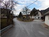 2
2 3
3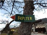 4
4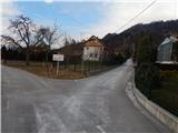 5
5 6
6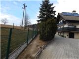 7
7 8
8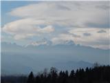 9
9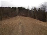 10
10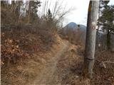 11
11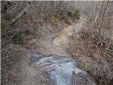 12
12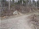 13
13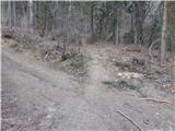 14
14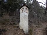 15
15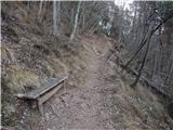 16
16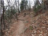 17
17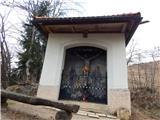 18
18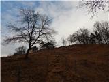 19
19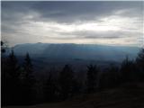 20
20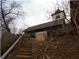 21
21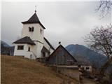 22
22 23
23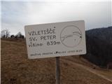 24
24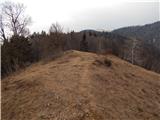 25
25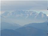 26
26
Discussion about the trip Begunje (PGD Begunje) - Sveti Peter above Begunje (Petrova pot)
To post a comment you must log in:
If you do not yet have a username, you must first
register.