Atene (spodnja postaja žičnice) - Parnitha (circular path)
Starting point: Atene (spodnja postaja žičnice) (480 m)
| Latitude/Longitude: | 38,1371°N 23,7411°E |
| |
Route name: circular path
Walking time: 6 h
Difficulty: easy marked way
Elevation gain: 933 m
Elevation difference along the route: 933 m
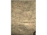
Map:
Recommended equipment (summer):
Recommended equipment (winter):
Views: 560
 | 1 person like this post |
Access to starting point:
Lower station of the Mount Parnitha Cable Car gondola on the edge of Athens.
Route description:
Trail markings of various colors lead us towards the summit. On the first part of the trail, the markings are yellow. First, we walk continuously under the cableway, which operates 24 hours a day, as there is a casino built on the mountain at an altitude of approximately 1050 m. When we reach it, a nice view opens up towards the summit, as well as into the valley. Numerous paths lead to the summit. Our path led us past the helicopter landing pad to the road, where we met a park ranger who warned us: »No dog on the mountain!« Apparently, dogs are not welcome on the mountain. And since we had a dog with us, we didn't have much choice – to escape the strict eyes of the rangers, we headed through the burned area where forest once grew, then we followed the blue markings to the Skipiza spring. Also on this mountain, which is located in Parnitha National Park, access to the highest peak Karavola (1413 m) is prohibited, so we circled the mountain on the northern side and followed the purple markings. The path led us past a bivouac – a bird observatory, where a view opens to the other side, towards the north. After half an hour of walking, we branch off from this path and follow the red markings to the saddle (1280 m) between the peaks Karavola and Ornio (1340 m). Thus, we did not reach the height of 1413 m.
From here we descend to the Bafi hut, built on a cliff at 1100 m altitude. The hut is closed in summer, apparently due to the heat. From the hut, we descend through the Chouni canyon, and continue following the still red markings, so that under the second path we return to the point where the hike began.

Photos:
 1
1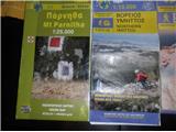 2
2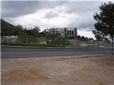 3
3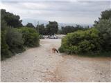 4
4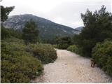 5
5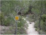 6
6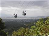 7
7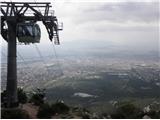 8
8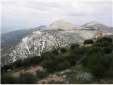 9
9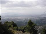 10
10 11
11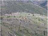 12
12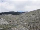 13
13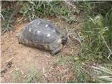 14
14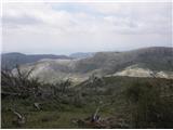 15
15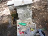 16
16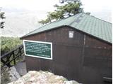 17
17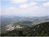 18
18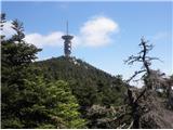 19
19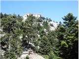 20
20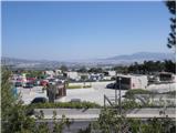 21
21
Discussion about the trip Atene (spodnja postaja žičnice) - Parnitha (circular path)
To post a comment you must log in:
If you do not yet have a username, you must first
register.