Pri Rosu - Koča pri Peričniku (by road)
Starting point: Pri Rosu (685 m)
| Latitude/Longitude: | 46,449°N 13,9243°E |
| |
Route name: by road
Walking time: 40 min
Difficulty: easy marked way
Elevation gain: 65 m
Elevation difference along the route: 65 m
Map: Kranjska Gora 1:30.000
Recommended equipment (summer):
Recommended equipment (winter):
Views: 4.827
 | 1 person like this post |
Access to starting point:
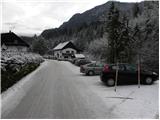
We leave the Gorenjska highway at the Jesenice-West exit, and then we continue driving in the direction of Kranjska Gora. Just a little before the village Dovje, the road which leads towards Mojstrana and the valleys Krma, Kot and Vrata branches off to the left. At the crossroads, we follow the mentioned road in the direction of the Vrata valley, and we drive along it to the parking lot Pri Rosu.
Route description:
At the end of the parking lot there are numerous signs, and the path immediately splits into two parts. We continue straight (left path Pot Triglavske Bistrice) and continue the path on the road, from which soon to the left over a bridge another path to the Pot Triglavske Bistrice branches off. Here we also continue on the road, which we follow in a moderate ascent through the forest to the Koča pri Peričniku, which we reach after a little less than 40 minutes of walking from the starting point.
Photos:
 1
1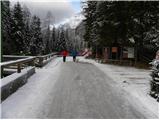 2
2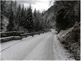 3
3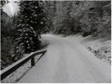 4
4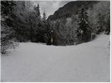 5
5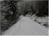 6
6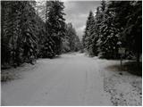 7
7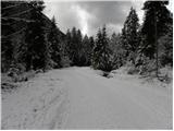 8
8 9
9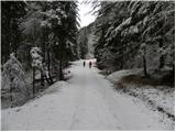 10
10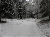 11
11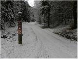 12
12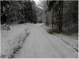 13
13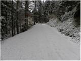 14
14 15
15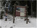 16
16 17
17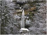 18
18
Discussion about the trip Pri Rosu - Koča pri Peričniku (by road)
|
| Filip_Zagreb5. 12. 2015 |
Does anyone know if the hut at Peričnik is open? And is overnight stay possible?
|
|
|
|
| Jusk15. 11. 2019 |
Afternoon rainy hike from Mojstrana past Planina Višek to Plaz Črlovec, back along this path on the road. Rain fell without stopping, the path is accordingly
|
|
|
To post a comment you must log in:
If you do not yet have a username, you must first
register.