Hrastnik - Mrzlica (via Ravne)
Starting point: Hrastnik (290 m)
| Latitude/Longitude: | 46,1493°N 15,0852°E |
| |
Route name: via Ravne
Walking time: 3 h 5 min
Difficulty: easy marked way
Elevation gain: 832 m
Elevation difference along the route: 900 m
Map:
Recommended equipment (summer):
Recommended equipment (winter): ice axe, crampons
Views: 12.107
 | 1 person like this post |
Access to starting point:
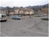
From Trbovlje or Laško we drive to Hrastnik, and then we continue driving in the direction of »Hrastnik center and village Čeče«. We follow this road to the spot where we notice signs for the ski slope Rajska dolina. Here we turn right and then already after a few meters we park on one of the numerous parking lots in Hrastnik.
Route description:
From the center of Hrastnik we continue on the asphalt road in the direction of the villages Boben and Čeče. We follow the road, which soon leaves Hrastnik and ascends along the Boben stream, to the beginning of the village Boben. At this spot we continue right, cross a bridge and continue the ascent in the direction of Kal and Mrzlica on the road which behind the houses changes into a first gently sloping cart track. The cart track quickly enters the forest, where it ascends along the pleasant stream, then turns left and steeply ascends.
The path soon passes from the forest onto expansive grassy slopes, over which we then ascend along an occasionally somewhat poorly visible footpath. Higher the path brings us to an asphalt road in the hamlet Ravne, through which we continue in the direction of Kal. A little further signs for Kal direct us right onto a poorer road which quickly changes into a pleasant footpath, along which we then ascend a partly grassy slope.
After a while the path brings us to a road, which we follow for only about 100 m to the left bend, in the middle of which a marked footpath branches off to the right. We continue the ascent on an initially wide cart track which brings us in a moderate ascent, mostly through the forest, to the spot where the path over Klobuk joins from the right.
We continue left, cross the road and continue ascending on a marked footpath which climbs over a panoramic grassy slope. Higher the steepness eases and the path joins a road, which we then follow all the way to the mountain hut on Kal.
From the hut we continue along its left side (direction of arrival) on the path which crosses the fence and enters the forest. After a few minutes of further walking we notice signs for the summit of Kal, which direct us left onto a somewhat steeper footpath, on which we climb to the summit in a few steps.
From Kal we descend to the other side on the path which already after a few steps brings us to the wide cart track that we left when ascending to the summit of Kal. We continue on the mentioned cart track which a little further starts to descend. After a few minutes of descent the path brings us from the forest onto a smaller saddle between Kal and Mrzlica.
We continue straight ahead, slightly uphill, and continue ascending along the edge of a larger grassy area. Higher the path turns somewhat to the right and ascends transversely through a sparse forest. Higher the steepness eases and after a few minutes of further walking the path brings us to the hut on Mrzlica.
From the mountain hut we can also ascend to the panoramic summit of Mrzlica in less than 5 minutes.

Along the route: Planinski rudarski dom na Kalu (946m),
Kal (985m)
Photos:
 1
1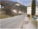 2
2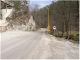 3
3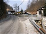 4
4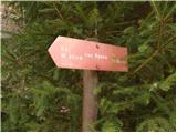 5
5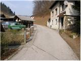 6
6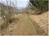 7
7 8
8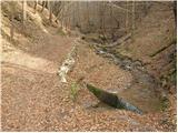 9
9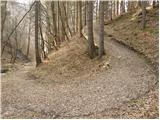 10
10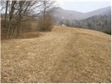 11
11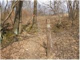 12
12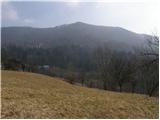 13
13 14
14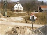 15
15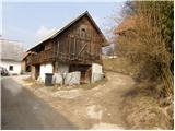 16
16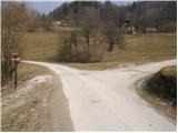 17
17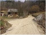 18
18 19
19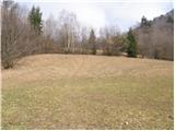 20
20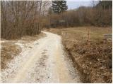 21
21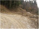 22
22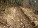 23
23 24
24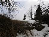 25
25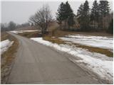 26
26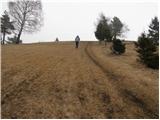 27
27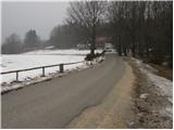 28
28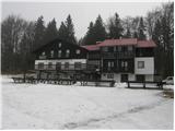 29
29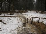 30
30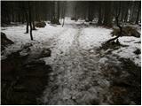 31
31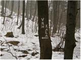 32
32 33
33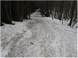 34
34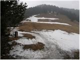 35
35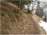 36
36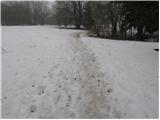 37
37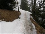 38
38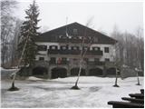 39
39 40
40
Discussion about the trip Hrastnik - Mrzlica (via Ravne)
|
| jprim14. 03. 2022 11:18:30 |
To avoid repeating our foolishness, I report that this trail is impassable in the area of Boben.
Where are those responsible for hiking trails, that they haven't put a notice on the directional signs that the trail is closed, since it's impassable in Boben.
LP!
|
|
|
|
| primm23. 03. 2022 11:15:15 |
jprim, do you mean the construction site or road renovation in the village of Boben?
On 18. 3. I went with Kala along this path to Hrastnik and passed by without issues. It looks like they already arranged the passage since your hike..
Otherwise, the path is pleasant and very well marked.
|
|
|
|
| jprim23. 03. 2022 11:25:39 |
It's not about road renovation, but I think it's about arranging the quarry, actually the slope that continues.
Yes, it holds that I was on this path.
I wrote to the club president and described the events more precisely, or rather what we experienced from the machine operator who even threatened the police when we climbed over the fence, or rather bypassed it ...
Regarding the danger of falling rocks we were lucky.
Yes, in the following days they arranged the passage.
Best regards!
|
|
|
To post a comment you must log in:
If you do not yet have a username, you must first
register.