Brezje pri Tržiču - Breška planina (by road)
Starting point: Brezje pri Tržiču (677 m)
| Latitude/Longitude: | 46,3589°N 14,2787°E |
| |
Route name: by road
Walking time: 1 h 25 min
Difficulty: easy marked way
Elevation gain: 423 m
Elevation difference along the route: 425 m
Map: Karavanke - osrednji del 1:50.000
Recommended equipment (summer):
Recommended equipment (winter):
Views: 2.389
 | 1 person like this post |
Access to starting point:
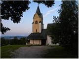
From the highway Ljubljana - Jesenice we take the exit Ljubelj and follow the road ahead in the direction of Tržič. Just before the gas station at Tržič we turn right (direction Tržič) and then immediately left (direction Begunje) and we drive further to the village Brezje pri Tržiču, where we park at an appropriate place near the church.
Route description:
From the church of St. Neža we continue another 10 steps or so on the road towards Begunje, and then signs for Dobrča direct us to the right onto a somewhat narrower road, along which we quickly arrive at a marked intersection, where we continue right in the direction of Lešanska and Bistriška planina (left the usual footpath to Dobrča). We continue for a few more minutes on a relatively steep asphalt road, then we arrive at the landslide slope, where the asphalt ends. At the spot where the asphalt ends there is a nice viewpoint, from which a beautiful view opens up towards Kriška gora and part of Gorenjska. Beyond the viewpoint the road enters the forest, then ascends gently to moderately all the way to the mountain pasture Bistriška planina, which is located a little to the right of the road.
From Bistriška planina we continue on the road, which ascends through the forest and then brings us to Breška planina, where a hunting cottage stands.

Along the route: Bistriška planina (1100m)
Photos:
 1
1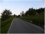 2
2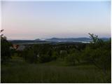 3
3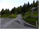 4
4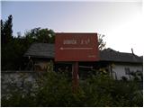 5
5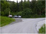 6
6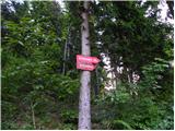 7
7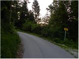 8
8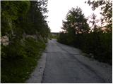 9
9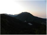 10
10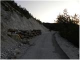 11
11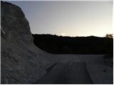 12
12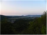 13
13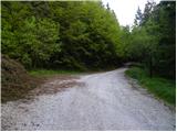 14
14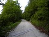 15
15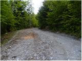 16
16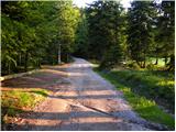 17
17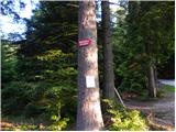 18
18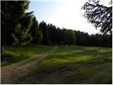 19
19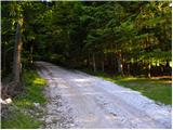 20
20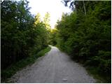 21
21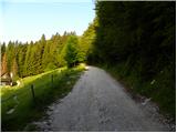 22
22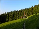 23
23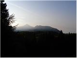 24
24
Discussion about the trip Brezje pri Tržiču - Breška planina (by road)
To post a comment you must log in:
If you do not yet have a username, you must first
register.