Dvor - Kucelj above Polhov Gradec (on unmarked path)
Starting point: Dvor (345 m)
| Lat/Lon: | 46,0659°N 14,3479°E |
| |
Name of path: on unmarked path
Time of walking: 1 h
Difficulty: easy unmarked way
Altitude difference: 360 m
Altitude difference po putu: 360 m
Map: Ljubljana - okolica 1:50.000
Recommended equipment (summer):
Recommended equipment (winter): crampons
Views: 1.289
 | 1 person likes this post |
Access to the starting point:
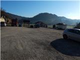
a) First, drive to Dobrova near Ljubljana, then continue in the direction of Polhov Gradec. When you arrive in Dvor, you are at the beginning of the route described above, which starts near the church.
b) From the Ljubljana bypass or the Gorenjska motorway, take the Ljubljana (Podutik) exit and then continue towards the Ljubljana area and then on to Dobrova. After Preval, where the road to Toško Čelo turns off to the right, the road starts to descend and we follow it to reach the main road Dobrova - Polhov Gradec. Follow the road to the right in the direction of Polh Gradec, and we follow the main road to the settlement Dvor, where the route described above begins.
c) Take the Polhov Gradec road and then continue towards Ljubljana. When we arrive in Dvor we are at the beginning of the described route, which starts near the church.
d) From the motorway Koper - Ljubljana, take the exit Vrhnika, then continue driving towards Horjul. From Horjul continue towards Ljubljana, but only as far as the settlement Zaklanec, as there you will see signs for Polhov Gradec, which will direct you to the left. After a few kilometres, when you reach the Dobrova - Polhov Gradec road, follow it to the right and follow it to the Dvor settlement, where the footpath described above begins.
Path description:
From where we parked, we first walk to the church, where we see signs for Grmada. The path first goes along the walls and then climbs along the edge of the meadow. At the top of the meadow, take the wider cart track, where a path joins from the right, starting at the nearby fountain. Continue straight ahead on cart track, which goes into the woods and from which a marked footpath soon branches off to the right, leading to Grmada.
Continue along cart track, which soon splits into two parts. Continue straight on again (the right-hand cart track is soon joined by a marked path), this time following the cart track, which continues close to a small stream and also leads you past a small spring. The nearby waterhole is bypassed on the right, following a well-worn but unmarked path, which returns to cart track higher up, and we follow it to a small pass, where a well-traced and well-worn path branches off to the right.
Continue along the forest path, which bends slightly to the right and soon crosses an overgrown torrential ravine. For a short time the path climbs slightly above the torrent, then turns right and crosses a steep and partly scenic slope. Beyond the steep slope, the path returns to the dense forest, then turns left on an indistinct ridge and gradually passes to the right side of the ridge. There follows an easy cross-climb following the cart track, which, after a few minutes' further walking, leads out of the forest to the upper part of a larger clearing.
Here, from where we get some views, we are joined on the right by the "marked" path from Dvor and another path from Polhov Gradec.
Continue left along the path, which returns to the forest, then the forest thins out and you reach the top of Kuclja, from where you have a beautiful view of part of the Kamniško Savinjske Alps.
If you want to get some more views to the south and west, continue from the top along the path that starts to descend gently to the south, and in a minute or two you will reach a nice viewpoint, where there is also a small bench.
Description and pictures refer to the situation in 2015 (March).

Pictures:
 1
1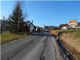 2
2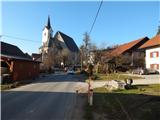 3
3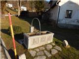 4
4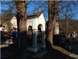 5
5 6
6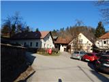 7
7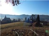 8
8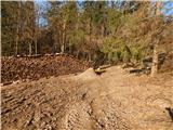 9
9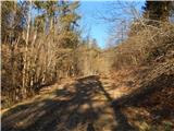 10
10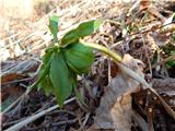 11
11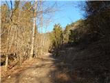 12
12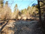 13
13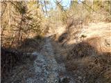 14
14 15
15 16
16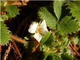 17
17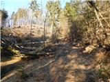 18
18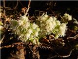 19
19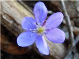 20
20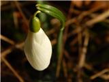 21
21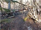 22
22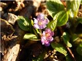 23
23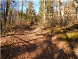 24
24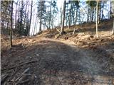 25
25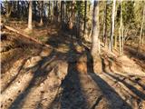 26
26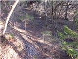 27
27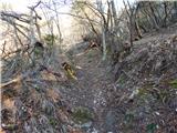 28
28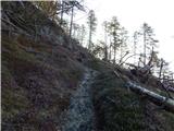 29
29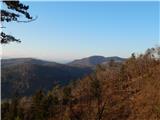 30
30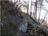 31
31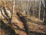 32
32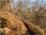 33
33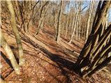 34
34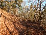 35
35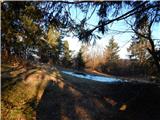 36
36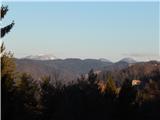 37
37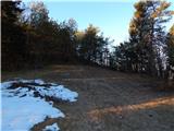 38
38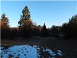 39
39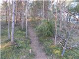 40
40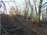 41
41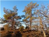 42
42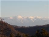 43
43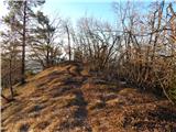 44
44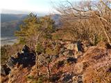 45
45 46
46
Discussion about the trail Dvor - Kucelj above Polhov Gradec (on unmarked path)