Dragomer (OŠ Log-Dragomer) - Vrh (Debeli hrib) (čez Strmec in Strmco)
Starting point: Dragomer (OŠ Log-Dragomer) (297 m)
| Lat/Lon: | 46,01412°N 14,37631°E |
| |
Name of path: čez Strmec in Strmco
Time of walking: 2 h
Difficulty: easy unmarked way
Altitude difference: 243 m
Altitude difference po putu: 360 m
Map: Ljubljana - okolica 1:50.000
Recommended equipment (summer):
Recommended equipment (winter):
Views: 215
 | 1 person likes this post |
Access to the starting point:
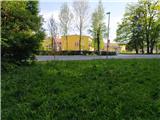
a) From the motorway Ljubljana - Koper, take the exit Brezovica, then continue along the parallel old road towards Vrhnika. Shortly before the Šipca bar turn right into Dragomer and immediately left towards the school, where you park.
b) From the Primorska highway, take the exit Vrhnika and continue along the old road towards Ljubljana. When the village of Log ends, after Šipco bar turn left into Dragomer and then immediately left towards the school, where you park. The school can be seen from the main road and the abandoned quarry in Strmec.
Path description:
At the starting point, find cart track, which is located at the bridge. Take this bridge and immediately turn left on the steeper left logging trail, which makes a bend and you are back at the crossroads. Continue right and then left again and right again. Logging trail slowly turns into a track. At the end of the lane, you come back to logging trail, which leads out of Log. Continue to the right. Logging trail ascends unevenly. Overlook all the left and right forks and soon you are on the overgrown headland Strmec. There is a slight descent to a junction where you can continue left to the top of Strmec (some 10 metres) or right to Ferjanka. There is a steep descent to a crossroads where you continue right on the poorer and slightly overgrown logging trail and shortly afterwards left on a slightly overgrown track. Soon you reach cart track and you are at Ferjanka, where there is a registration box on a tree trunk. Join the waymarked trail. Continue across the meadow into the woods and follow the waymarked trail to logging trail, where a waymark directs you to the right and after a short descent you reach a crossroads. Continue straight on (right Ferjanka on logging trail, (possible approach), left Brezje pri Dobrova). Logging trail climbs a little steeper and we are already at the top of Strmce. A slight descent follows and two steeper climbs through Križevski boršt separate us from the summit and within 10 minutes from the summit we can already see the sign at the top of Strmce.
From the top, continue in the direction of Debele hill. There is a short descent to a crossroads where the above-mentioned path joins us. Continue along the marked path, which descends and ascends, and in between we join the path from the Pavliček farm. You arrive at the bottom of a steep incline, where you can go straight downhill or right along a sloping path. After 5 minutes, the two paths join and continue along the marked path past Vrhovčev grič (you can also go across) to a crossroads where the path from Sveti Lovrenec joins from the right. Continue straight on the marked path. Most of the trail follows the logging trail or logging trail. When you reach the next more visible crossroads, continue left (or straight ahead) along the marked path. After a short climb, you reach a bench and a registration book (it used to be on Vrhu). After that, the marked path from Dragomero joins unnoticeably. Continue along the path leading over the hill with the little man, a little beyond it continue to the right. When you reach logging trail, continue along the path or logging trail all the way to the highest point of Fat Hill, where there is a register for the circular route Pentlja.
You can descend past Sveti Lovrenec and then follow the road to the starting point. The journey takes about 1h 15 min.
The description refers to the situation in May 2022 and the pictures to May 2021 (except the last two).

Pictures:
 1
1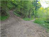 2
2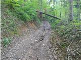 3
3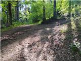 4
4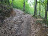 5
5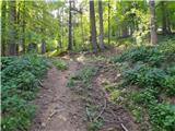 6
6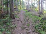 7
7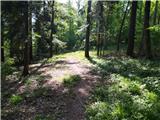 8
8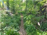 9
9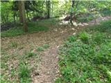 10
10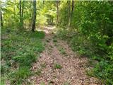 11
11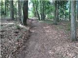 12
12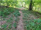 13
13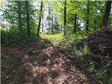 14
14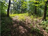 15
15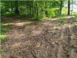 16
16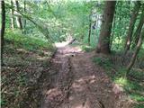 17
17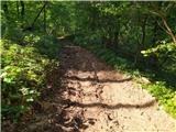 18
18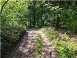 19
19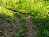 20
20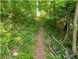 21
21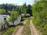 22
22 23
23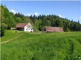 24
24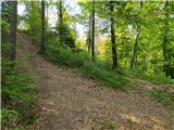 25
25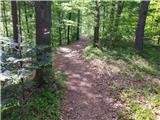 26
26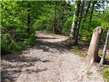 27
27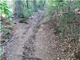 28
28 29
29 30
30 31
31 32
32 33
33 34
34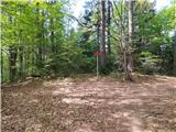 35
35 36
36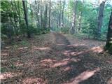 37
37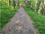 38
38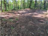 39
39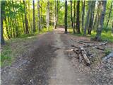 40
40 41
41 42
42 43
43 44
44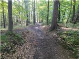 45
45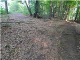 46
46 47
47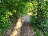 48
48 49
49 50
50 51
51 52
52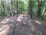 53
53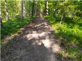 54
54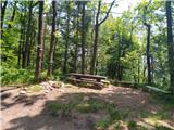 55
55 56
56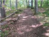 57
57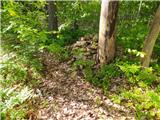 58
58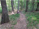 59
59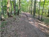 60
60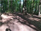 61
61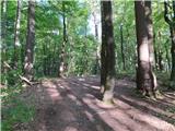 62
62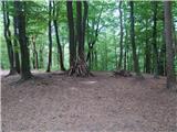 63
63 64
64
Discussion about the trail Dragomer (OŠ Log-Dragomer) - Vrh (Debeli hrib) (čez Strmec in Strmco)