Baška - Sveti Ivan (Baška)
Starting point: Baška (30 m)
| Lat/Lon: | 44,9721°N 14,756°E |
| |
Time of walking: 15 min
Difficulty: easy marked way
Altitude difference: 104 m
Altitude difference po putu: 104 m
Map:
Recommended equipment (summer):
Recommended equipment (winter):
Views: 3.575
 | 2 people like this post |
Access to the starting point:
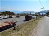
From the motorway Rupa - Rijeka / Rijeka or Zagreb - Rijeka / Rijeka, drive towards Rijeka, and from there follow the signs to Krk Island. When the motorway or expressway in the last part ends, we descend to the Krk Bridge (toll 35 kuna - March 2014) and then continue driving to Omisalj, Njivice, Malinska, Krk, Punat and Baška. After Punat, which you pass on the left, the road starts to climb steeply towards the Treskavac pass (Treskavac is a good starting point for some mountain tours, including the climb to the highest peak of Krka - Obzova (569 m)). After the pass, the road starts to descend and is quite winding, flattening out a bit only when you reach the valley. Continue on through Draga Bašćanska and Jurandvor, and then arrive in Baška. When you see the signs for the bus parking area, turn right and park in the large parking area (the parking area is for both buses and cars). During the summer season, there is a charge for parking.
Path description:
From the parking lot, return to the main road, cross it carefully, and then continue towards St Ivan's Church along a slightly narrower asphalt road, which gradually begins to climb. After a few minutes of climbing, you reach a marked crossroads from which you continue on the asphalt road (left Planina Mjesec / mountain pasture Mjesec via the Zakam crossroads). There is a cross-country climb and 2 serpentines, and you reach the parking area under the Church of St Ivan, with beautiful views of Baška, Prvić Island and the Krka hills. From the parking lot, walk to the cemetery, where you will have a nice view, and from there you can continue to the nearby hill above the church and the cemetery.
Pictures:
 1
1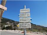 2
2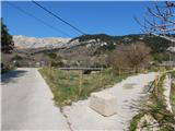 3
3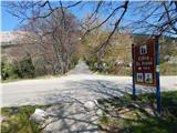 4
4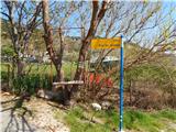 5
5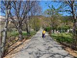 6
6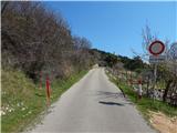 7
7 8
8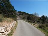 9
9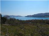 10
10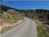 11
11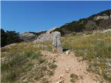 12
12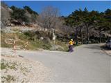 13
13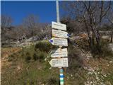 14
14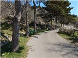 15
15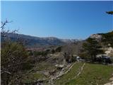 16
16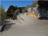 17
17 18
18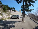 19
19 20
20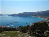 21
21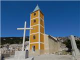 22
22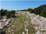 23
23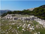 24
24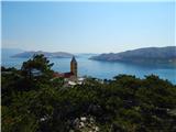 25
25
Discussion about the trail Baška - Sveti Ivan (Baška)