Gornje Jesenje - Sušec (Strahinjščica)
Starting point: Gornje Jesenje (353 m)
Time of walking: 1 h 35 min
Difficulty: easy marked way
Altitude difference: 493 m
Altitude difference po putu: 493 m
Map:
Recommended equipment (summer):
Recommended equipment (winter):
Views: 1.439
 | 3 people like this post |
Access to the starting point:
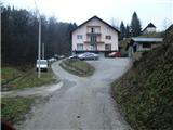
a) Enter Croatia via Border crossing Gruškovlje / Macelj. Leave the motorway at the exit Đurmanec. In the village of Đurmanec, at the large roundabout, turn south towards Krapina. Once in Krapina, turn left east towards Žutnica, cross the railway line and go through the underpass. Now climb up to the beginning of the village of Gornje Jesenje, where you will see a road turning left into the hamlet of Galovici. Go left here and leave the vehicle at the Galović farm (car dealership).
b) From Prekmurje it is closer through Čakovec, Varaždin, Ivanec to Lepoglava, where we will turn in the direction of Trakoščan. In the village of Bednja turn right in the direction of Krapina. The turn-off for Galoviće is now at the end of the village of Gornje Jesenje, the signpost is not visible from this direction, but the markings and the tourist board help us.
Path description:
From the Galović farm, continue east along the asphalt to the upper part of the village. The steep path through the village soon turns south. When we reach the forest, the asphalt ends and we continue to the right on the wider cart track, which we follow for only a minute or so, and then we go up to the left (the branch is a little less well marked). The path ahead leads us along the forest cart track, which we quickly follow to get out of the forest, to the edge of a clearing.
Here the path seems to end, there are no markings, but the path goes on through the middle of the grass. At the end of the clearing, the path returns to the forest and turns right. Walking through the forest, the path leads to a road leading to a mountain hut. Go down the road a little, then turn right into the forest.
The path ahead leads through a slightly more compacted forest, along a usually rather muddy path. At the wildlife feeding station, you can choose between two variants of the path, which then quickly merge again. The ascent through slightly lower forest on an increasingly steep path follows. When this part ends, we will leave the forest and continue our ascent on the steep and usually muddy cart track. Go left at a higher altitude and you will reach the road leading to the mountain hut again.
We now walk along the road for some time, or as far as the mountain hut (part way along the road the path leads us past a trail turnoff to a nearby spring, and before the end of the road there is a small shelter, which is usually closed).
You can have a meal or spend the night in the lodge.
If you don't go to the mountain hut, turn sharp left at the parking lot and you will come to a path that goes along a wider logging trail (the sign on the tree helps), then turns onto a narrower path and becomes quite steep. On the steep part, which is quite slippery during and after rain, a wooden fence helps us. The steep path then leads to the Dedek lookout point.
From Dedek, which is also a suitable take-off point for paragliders, we have a beautiful view to the south and west. For many mountaineers, this is also the final destination, and we will continue eastwards. The trail here turns off and follows the narrow ridge of the Strahinjščice River. There is also a wooden fence at a few exposed points. The path leaves the ridge transiently and follows the southern slope, but when the ridge widens transiently it returns to it. A little more walking follows and the path leads to the summit.
At the very top of Sušec is a huge willow tree. There is no sign-in book (it is in the hut), only a stamp. As the summit is covered with forest, there is no view.

Pictures:
 1
1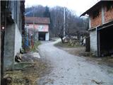 2
2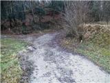 3
3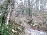 4
4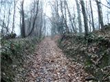 5
5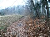 6
6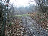 7
7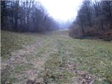 8
8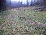 9
9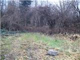 10
10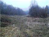 11
11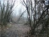 12
12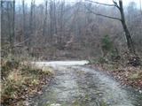 13
13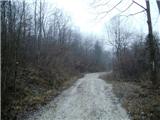 14
14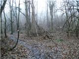 15
15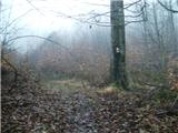 16
16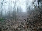 17
17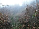 18
18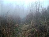 19
19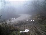 20
20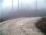 21
21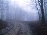 22
22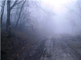 23
23 24
24 25
25 26
26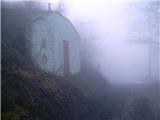 27
27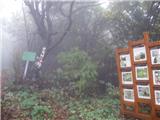 28
28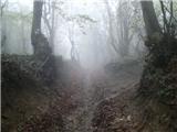 29
29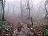 30
30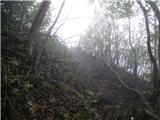 31
31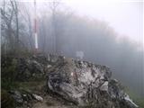 32
32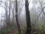 33
33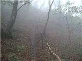 34
34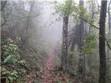 35
35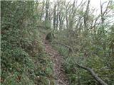 36
36 37
37 38
38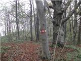 39
39 40
40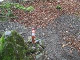 41
41
Discussion about the trail Gornje Jesenje - Sušec (Strahinjščica)