Lovrenc na Pohorju - Rogla
Starting point: Lovrenc na Pohorju (436 m)
| Lat/Lon: | 46,54195°N 15,38604°E |
| |
Time of walking: 4 h 30 min
Difficulty: easy marked way
Altitude difference: 1081 m
Altitude difference po putu: 1130 m
Map: Pohorje 1:50.000
Recommended equipment (summer):
Recommended equipment (winter): ice axe, crampons
Views: 815
 | 2 people like this post |
Access to the starting point:
a) From the Maribor - Dravograd road, between the Fala HPP and the Ožbalt HPP, turn left towards Lovrenc na Pohorju (from the route of Dravograd turn right). On the other side of the Drava, start climbing along Radoljna, and at the marked crossroads, take a slight right along the main road towards Lovrenec to Pohorje. When you arrive in Lovrenc na Pohorje, follow the main road, and in the centre of the village turn right towards the primary school, where you can park in the parking lot next to the school. You can also park elsewhere in the village, where there are a few free parking spaces.
b) Drive into Ruše, then follow the road towards Lovrenec to Pohorje. At Činžat you will reach a pass where the road starts to descend, and at a lower point go left towards Lovrenec na Pohorju. When you reach Lovrenc na Pohorju, follow the main road, and in the centre of the village, turn right towards the primary school, where you can park in the parking lot next to the school. You can also park elsewhere in the settlement, where there are a few free parking spaces.
Path description:
From the parking lot, return to the centre of the village and then follow the main road south-west. After a few minutes, you will reach a marked crossroads where you continue left in the direction of Klopni vrh and Pesek. There is a slight descent, and when the road turns right you start climbing again. The way forward takes you past the branch church of St Radegunde, where there is also parking. Continue along the pavement, and when the pavement ends, turn right onto a side road, which quickly leads to another road, which you follow to the right. Continue past the last houses of Lovrenc na Pohorju, and the road passes into the gorge of the Radoljna stream.
At the part where the gorge narrows, a marked path branches off to the left towards Klopni vrh, and we continue slightly to the right and continue walking along the asphalt road. Higher up, pass the Sgerm cafeteria, and at the crossroads follow the signs for Pesek. Eventually, we leave the Radoljna valley and arrive in the Plešiščica stream gorge, where we pass the Lakožič Hydroelectric Power Station. Follow the asphalt road to the left turn, where signs direct you straight on to cart track, which continues along the stream.
Just after leaving the road, cart track splits, and we continue on the right, less distinct one, which continues along the stream. We climb gently along the right bank of the stream for a few minutes, then cross it via a footbridge, where extra care is needed. On the other side, follow the signs and after a few minutes reach a dirt road, which you follow to the left. After a few minutes of easy ascent, the road leads us back to the right bank of the stream, and we leave it just a few steps after the bridge and continue right on the marked path. The path is a bit more overgrown, where at a few crossroads we follow the markings, and the path also moves a little away from the rather noisy stream. Continue through a section of overgrown young spruce trees, beyond which you quickly reach a forest road, which you follow to the right. When you see a wooden hut ahead, turn left off the road, passing the hut on your left and climbing briefly alongside a small stream. A little further on, at the edge of the forest, the path turns right and passes into the forest, where you continue along the wider cart track and follow it at the crossroads in the direction of the markings. There is some ascent through the forest, after which you cross a forest road and continue through the forest again. A few minutes higher up, take the road again and follow it to the right. Walk along the road for a few minutes, then bear slightly left on the steeper cart track, which begins to climb cross-country, and at a few crossroads follow the waymarks as usual. Higher up, the path flattens out and within a few minutes you reach a wider macadam road, where there is a marked crossroads and a road junction.
Choose the right road leading to Koča na Pesku and Rogla, when the road turns slightly to the left leave it and at a less marked crossroads continue straight on to cart track. The cart track climbs steeply and at several crossroads follow the signs carefully. The trail climbs higher and turns left at the area called Kocafurova koča (Kocafurova koča), where it continues for a few minutes with a few short ascents and descents. Later there is some moderate descent and when you leave the forest you reach Koča na Pesku.
From the Cottage on the Sand, continue along the asphalt road towards Rogla for some 10 metres, then turn right on cart track in the direction of Rogla. Continue for some time along the gently sloping cart track, and then, immediately after crossing a small stream, turn left onto a slightly steeper footpath which climbs through the forest. Higher up, the path gradually levels out and leads into gradually thinner woodland. From the point where the forest thins out, it is only a short walk to the lookout tower at Rogla.
If there is no risk of thunderstorms, you can climb the tower at your own risk, from which you will have a fine view over most of Pohorje, and in good visibility also Karawanks, Kamnik Savinja Alps and Triglav.
Lovrenc na Pohorju - Koča na Pesku 4:00, Koča na Pesku - Rogla 0:30.

Pictures:
 1
1 2
2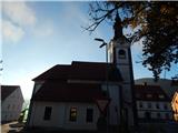 3
3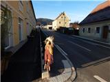 4
4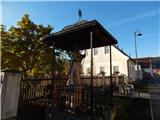 5
5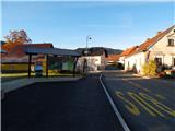 6
6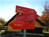 7
7 8
8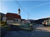 9
9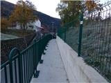 10
10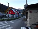 11
11 12
12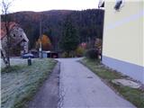 13
13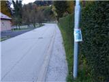 14
14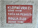 15
15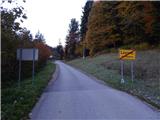 16
16 17
17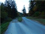 18
18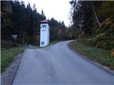 19
19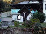 20
20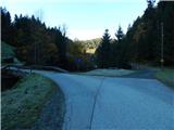 21
21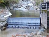 22
22 23
23 24
24 25
25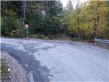 26
26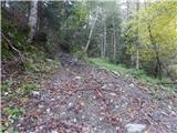 27
27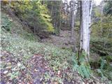 28
28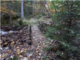 29
29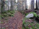 30
30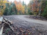 31
31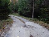 32
32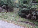 33
33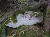 34
34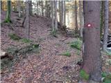 35
35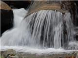 36
36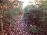 37
37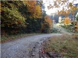 38
38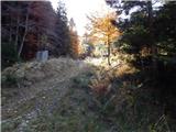 39
39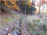 40
40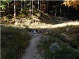 41
41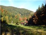 42
42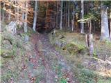 43
43 44
44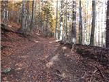 45
45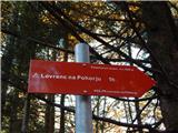 46
46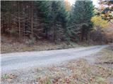 47
47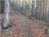 48
48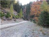 49
49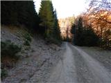 50
50 51
51 52
52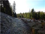 53
53 54
54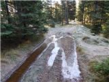 55
55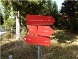 56
56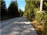 57
57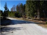 58
58 59
59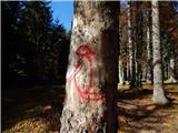 60
60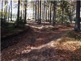 61
61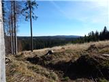 62
62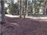 63
63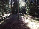 64
64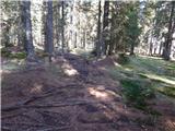 65
65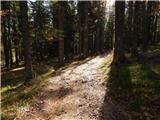 66
66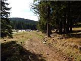 67
67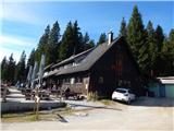 68
68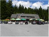 69
69 70
70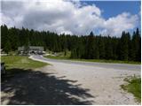 71
71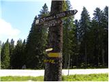 72
72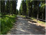 73
73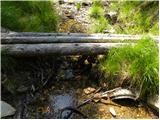 74
74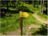 75
75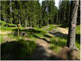 76
76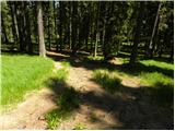 77
77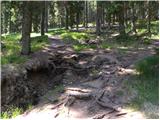 78
78 79
79 80
80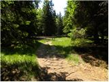 81
81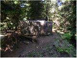 82
82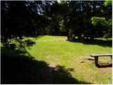 83
83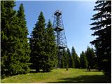 84
84 85
85 86
86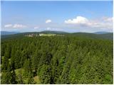 87
87 88
88
Discussion about the trail Lovrenc na Pohorju - Rogla
|
| mado16. 05. 2022 17:08:53 |
Jučer 15.5.2022. smo išli od Lovrenca do Rogle. Parkirali smo kod škole i onda skoro 4km hodali po asfaltu. Savjet je parkirati negdje bliže, moguće puno više, čak kod mini hidroelektrane, samo ne znam da li se to smije. Mjesta uz cestu svakako ima za to. Inače je staza jako dobra, markacije odlične cijelo vrijeme i jasno vidljive. Dodatno smo koristili LocusMaps i lako se snalazili. Više od pola staze prolazi blizu nekog od brojnih potoka sa bezbrojnim slapovima  skoro cijeli dan imali opuštajući šum vode. Gore nam je trebalo oko 6h jer smo van kondicije. Ukupno hodali 8-9h (cijeli izlet oko 11h). Prešli ukupno oko 25km sa oko 1100m visinske razlike. Vidjeli smo i 1 gamsa, na oko 700m visine. Nisam znao da ih ima i na Pohorju. Predivan izlet, svakako ga preporučam
|
|
|