Šmartno na Pohorju - Source of Polskava (via Bojtina)
Starting point: Šmartno na Pohorju (780 m)
| Lat/Lon: | 46,44504°N 15,54013°E |
| |
Name of path: via Bojtina
Time of walking: 2 h 35 min
Difficulty: easy marked way
Altitude difference: 400 m
Altitude difference po putu: 530 m
Map: Pohorje 1:50.000
Recommended equipment (summer):
Recommended equipment (winter): ice axe, crampons
Views: 280
 | 1 person likes this post |
Access to the starting point:
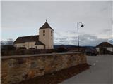
Leave the Styrian motorway at exit Slovenska Bistrica south or north (depending on which direction you are coming from), then drive into the centre of Slovenska Bistrica, from where you take the road in the direction of Šmartno to Pohorje. There is a climb of a few kilometres, and we follow the road towards this settlement. When we reach Šmartno na Pohorju, we park in a small parking lot next to the cemetery and St Martin's Church.
Path description:
From the parking lot, walk a few steps to the main road leading through the village, and follow it to the right, where you will also find signs. Walk through the centre of the village for a short distance and then, taking in the beautiful views, walk to a small crossroads, next to a slightly larger chapel.
Here we continue straight on (right Ruška koča na Arehu - path over Frajhajm) and a few minutes further on we reach the next marked crossroads, from which we also continue straight on (left Sv. Trije kralji) and climb moderately past individual houses and the Dovnik guesthouse. Cross a strip of forest and then descend slightly to a crossroads where you continue right towards Areh and Bojtina.
After the crossroads, the road descends a little more, and we go slightly right on a parallel mountain path, which continues to descend. Lower down, the path lays down and leads us past newer and older buildings back to the road, which we follow to the right. Cross the stream over the bridge and go past the cross, and after the cross, the path to Šetorov mlin branches off to the right, which is a 5-minute walk away.
Continue along the road and climb steeply, following the road to a right turn, in the middle of which go straight on to the waymarked cart track, which then climbs steeply through the woods. Higher up, first approach the road, a little further ahead, and return to the road at the sign. We walk along the increasingly scenic part, from where we have a view towards the nearby Church of St Ursula, and before reaching the church, we leave the road at the first left-hand bend and continue straight ahead on the marked path that crosses the grassy slope. There are a couple of forks where we follow the signs, and we cross a strip of woods and then continue across the grassy slope. When the traverse ends with a few short ascents and descents, the markings direct us down to the right, where we soon reach another cart track, which we follow to the left. There is some easy climbing, then down again to the right, where the path continues to two successive streams, crossing them over two small bridges. After the second small bridge, start climbing again, and at the crossroads follow the markings, and at a higher level, emerge from the woods and near a small wooden hut, reach a minor road, which you follow to the right. Walk along the road for a few minutes, then at the beginning of the wood continue left into the woods, where you continue along a slightly steeper path. After a few minutes of climbing, you reach a wider dirt road, which you follow to the right, and we follow it to a crossroads, where we reach an asphalt road.
Continue left, and opposite the nearby hut go right on the marked cart track, which returns to the forest and then climbs cross-country to the asphalt road, which you only cross. Continue moderate ascent through the forest and in a few minutes reach a marked crossroads, from which continue left towards the source of the Polskava River (right Ruška koča na Arehu 10 minutes).
After the crossroads, descend slightly to the left and soon take a sharp left with cart track and descend quickly along a short track to the source of the Polskava River.
Description and pictures refer to the situation in January 2022.

Pictures:
 1
1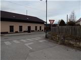 2
2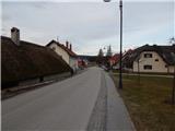 3
3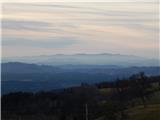 4
4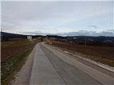 5
5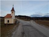 6
6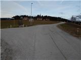 7
7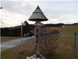 8
8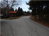 9
9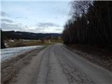 10
10 11
11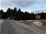 12
12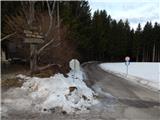 13
13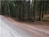 14
14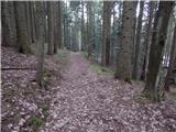 15
15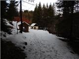 16
16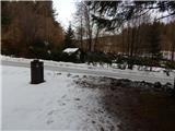 17
17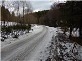 18
18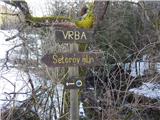 19
19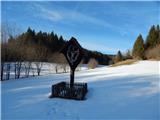 20
20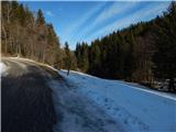 21
21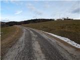 22
22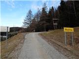 23
23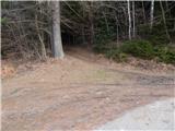 24
24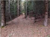 25
25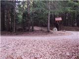 26
26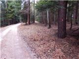 27
27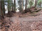 28
28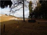 29
29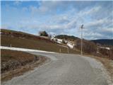 30
30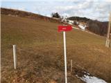 31
31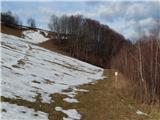 32
32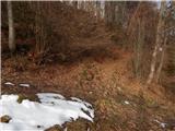 33
33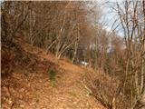 34
34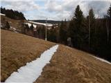 35
35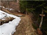 36
36 37
37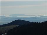 38
38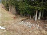 39
39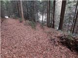 40
40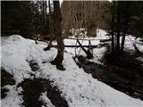 41
41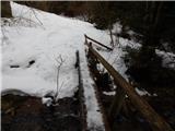 42
42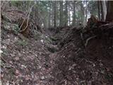 43
43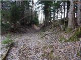 44
44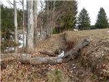 45
45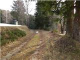 46
46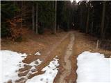 47
47 48
48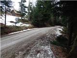 49
49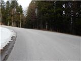 50
50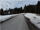 51
51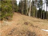 52
52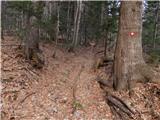 53
53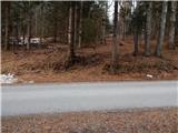 54
54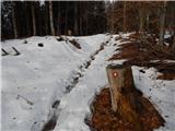 55
55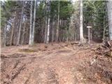 56
56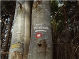 57
57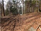 58
58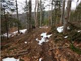 59
59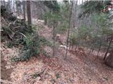 60
60 61
61 62
62
Discussion about the trail Šmartno na Pohorju - Source of Polskava (via Bojtina)