Lovrenc na Pohorju - Jezerce Drtičnikovo (via Zgornji trg)
Starting point: Lovrenc na Pohorju (436 m)
| Lat/Lon: | 46,54195°N 15,38604°E |
| |
Name of path: via Zgornji trg
Time of walking: 1 h 30 min
Difficulty: easy marked way, easy unmarked way
Altitude difference: 524 m
Altitude difference po putu: 535 m
Map: Pohorje 1:50.000
Recommended equipment (summer):
Recommended equipment (winter): ice axe, crampons
Views: 244
 | 1 person likes this post |
Access to the starting point:
a) From the Maribor - Dravograd road, between the Fala HPP and the Ožbalt HPP, turn left towards Lovrenc na Pohorju (from the route of Dravograd turn right). On the other side of the Drava, start climbing along Radoljna, and at the marked crossroads, take a slight right along the main road towards Lovrenec to Pohorje. When you arrive in Lovrenc na Pohorje, follow the main road, and in the centre of the village turn right towards the primary school, where you can park in the parking lot next to the school. You can also park elsewhere in the village, where there are a few free parking spaces.
b) Drive into Ruše, then follow the road towards Lovrenec to Pohorje. At Činžat you will reach a pass where the road starts to descend, and at a lower point go left towards Lovrenec na Pohorju. When you reach Lovrenc na Pohorju, follow the main road, and in the centre of the village, turn right towards the primary school, where you can park in the parking lot next to the school. You can also park elsewhere in the settlement, where there are a few free parking spaces.
Path description:
From the parking lot, return to the centre of the village and then follow the main road south-west. After a few minutes, you will reach a marked crossroads where you continue left in the direction of Klopni vrh and Pesek. There is a slight descent, and when the road turns right you start climbing again. The way forward takes you past the branch church of St Radegunde, where there is also parking. Continue along the pavement, and when the pavement ends, turn right onto a side road, which quickly leads to another road, which you follow to the right. Continue past the last houses of Lovrenc na Pohorju, and the road passes into the gorge of the Radoljna stream.
At the part where the gorge narrows, you will reach a marked crossroads.
Continue left over the bridge in the direction Klopni vrh (straight ahead Koča na Pesku), and after the bridge go right, then climb up past a few houses. In the upper part of the hamlet, where you pass the last house, you will come to a small stream, along which you will follow cart track. When you reach the woods, the path turns left and climbs cross-country. Higher up, the cart track markings point slightly right onto a footpath which crosses a forest road a little further on. A little further on, we find ourselves on another cart track, and at a crossroads of cart tracks we go right, climbing for a while cross-climbing to the right. There are a few more forks in the road, where you follow the signs, and higher up you reach the next forest road.
After a minute's further walking, the marked path continues across the road to a marked crossroads and leads on to Koča na Klopnem vrhu, and we continue to the right and continue walking along the unmarked road.
Walk along the road for a short distance, and after the water protection area sign, turn left onto a track, which will take you to the lake in a few steps.
Description and pictures refer to the situation in autumn 2021.

Pictures:
 1
1 2
2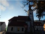 3
3 4
4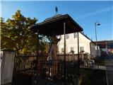 5
5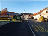 6
6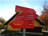 7
7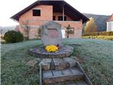 8
8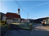 9
9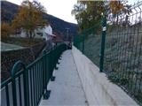 10
10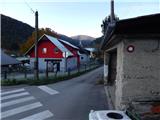 11
11 12
12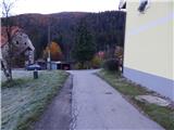 13
13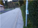 14
14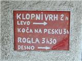 15
15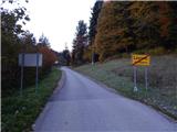 16
16 17
17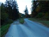 18
18 19
19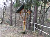 20
20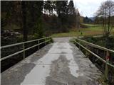 21
21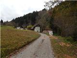 22
22 23
23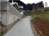 24
24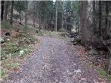 25
25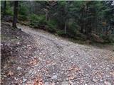 26
26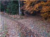 27
27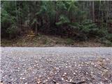 28
28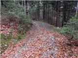 29
29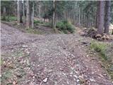 30
30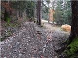 31
31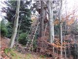 32
32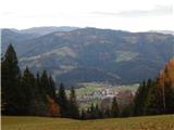 33
33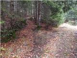 34
34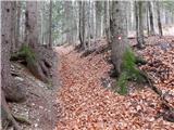 35
35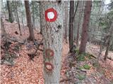 36
36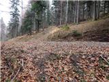 37
37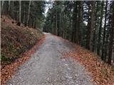 38
38 39
39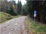 40
40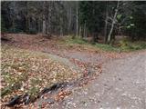 41
41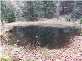 42
42
Discussion about the trail Lovrenc na Pohorju - Jezerce Drtičnikovo (via Zgornji trg)