Ravenska Kočna - Štajerska Rinka (hunting path)
Starting point: Ravenska Kočna (1000 m)
| Lat/Lon: | 46,385°N 14,5364°E |
| |
Name of path: hunting path
Time of walking: 4 h 45 min
Difficulty: very difficult marked way
Altitude difference: 1374 m
Altitude difference po putu: 1495 m
Map: Kamniške in Savinjske Alpe 1:50.000
Recommended equipment (summer): helmet, self belay set
Recommended equipment (winter): helmet, self belay set, ice axe, crampons
Views: 870
 | 1 person likes this post |
Access to the starting point:
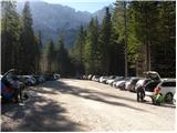
From the motorway Ljubljana - Jesenice take the exit Kranj - East and follow the road towards Jezersko. At Zgornje Jezersko, just past the petrol station, you will see a road that branches off the main road to the right (towards Planšarsko jezero). The road then takes you past the lake and climbs steeply behind it for a short distance. Higher up, the road flattens out and loses its asphalt surface at the beginning of a large meadow. The dirt road is then followed to a marked large parking lot.
Path description:
From the parking lot, continue along the macadam road following the signs "Češka koča, Ledine" and after about 15 minutes' walk you will reach the cargo cableway.
From the former parking lot, follow the path on the left side of the cableway to Ledine (the lower station of the cableway burnt down in June 2015). The path initially runs through the forest, but soon turns into the dwarf pines, where it climbs steeply along the edge of a mighty torrent. The path follows this torrent all the way to the start of the steeper part of the route. The path then climbs steeply and is aided by a couple of ropes, which help you to climb a step higher (a slip hazard in wet conditions). The difficulties then ease and the path continues to climb steeply, mostly on the northern slopes. After an hour and a half's walk, you reach a pleasant resting place, where a bench and a table cheer you up. Near the rest area, which is also a nice viewpoint, there is a memorial plaque commemorating the victims of the helicopter crash. From here on, there are no more technically difficult places to reach the hut, which is reached after a further 20 minutes' walk.
From the hut, continue to the left eastwards in the direction of Ledinski vrh, Mrzla gora and Baba. The path, which is initially quite steep, leads us in a few minutes to a crossroads, where we go to the right path (left climbing route to Babe). The way forward becomes only slightly steeper and leads us to a slightly more difficult passage over a rocky escarpment. Here we are helped by a rope, but the crossing is not difficult in the dry. The path then leads us to the broad slopes below Ledinski vrh, which offer a fine view towards the glacier below Skuta, which can be seen on the right. The way ahead climbs moderately and leads us only a few 10 m before Jezersko sedlo to the next marked crossroads, where we continue to the right in the direction of Koroška Rinka or Križa (left Ledinski vrh, Velika Baba, Mrzla gora).
The trail then climbs moderately over a less steep scree slope before joining the trail from the Logarska dolina.
The trail then climbs past a natural window and then turns slightly to the right, crossing steep western slopes on the ascent. The trail then turns left and climbs steeply along a glacier. Soon the northern slopes of the mountain are reached and there is some easy climbing on broken rock without fixed safety gear. Re-acquire the western slopes, where the route climbs very steeply again along the steel cable. From here there is also a very fine view of the precipitous cliffs of the Skute. There is a rather exposed traverse along the western side of the mountain, then the path turns left again and climbs almost vertically along the steel cable. The north slopes of the mountain are reached again and there is a short climb along the steel cable to the top of Koroška Rinka. From Križ, or Koroška Rinka, descend to the other side, along a path that descends steeply towards the valley between Kranjska and Koroška Rinka. The way forward first follows a crumbly gully, then passes onto a scree slope, where you quickly reach a crossroads, where you continue left towards Turski žleb (right Kranjska Rinka for 15 minutes) and then immediately left again on a slightly less well-trodden path leading to the top of the Štajerska Rinka. After about 10 minutes of further ascent, you will reach the top of the Štajerska Rinka.
Ravenska Kočna - Ledine 2:15, Ledine - Koroška Rinka 2:15, Koroška Rinka - Štajerska Rinka 15 minutes.

Pictures:
 1
1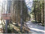 2
2 3
3 4
4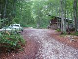 5
5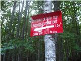 6
6 7
7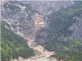 8
8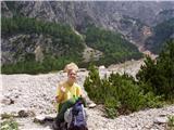 9
9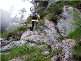 10
10 11
11 12
12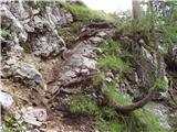 13
13 14
14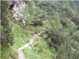 15
15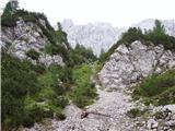 16
16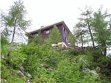 17
17 18
18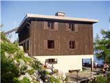 19
19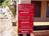 20
20 21
21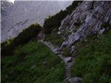 22
22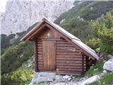 23
23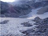 24
24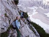 25
25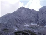 26
26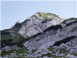 27
27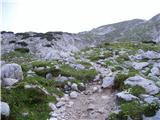 28
28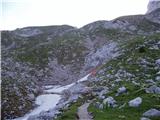 29
29 30
30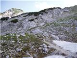 31
31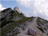 32
32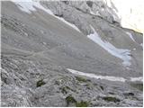 33
33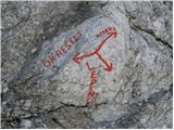 34
34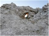 35
35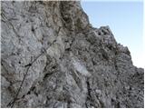 36
36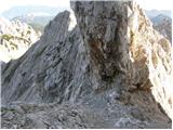 37
37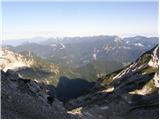 38
38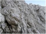 39
39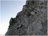 40
40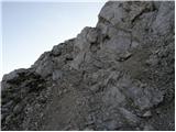 41
41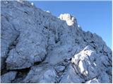 42
42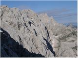 43
43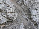 44
44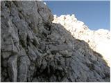 45
45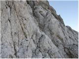 46
46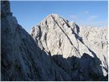 47
47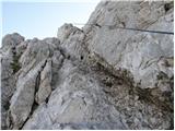 48
48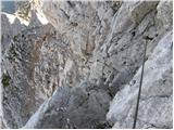 49
49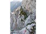 50
50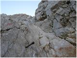 51
51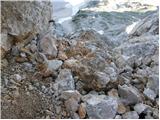 52
52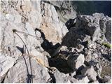 53
53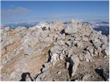 54
54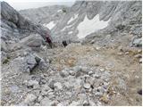 55
55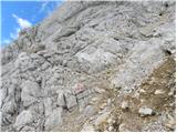 56
56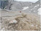 57
57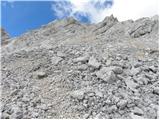 58
58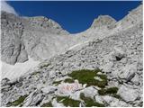 59
59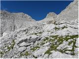 60
60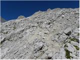 61
61 62
62 63
63 64
64 65
65 66
66
Discussion about the trail Ravenska Kočna - Štajerska Rinka (hunting path)