Starting point: Makekova Kočna (925 m)
| Lat/Lon: | 46,3931°N 14,5009°E |
| |
Time of walking: 2 h 45 min
Difficulty: difficult marked way
Altitude difference: 877 m
Altitude difference po putu: 925 m
Map: Kamniške in Savinjske Alpe 1:50.000
Recommended equipment (summer): helmet
Recommended equipment (winter): helmet, ice axe, crampons
Views: 1.170
 | 1 person likes this post |
Access to the starting point:
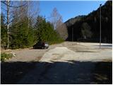
From the motorway Ljubljana - Jesenice take the exit Kranj - East and follow the road towards Jezersko. At the bus stop in Jezersko, turn right into the valley of Makekova Kočna (direction Čedca waterfall, Veliki vrh and Češka koča). The road then crosses the Jezernica River via a bridge, and just a few metres further on, at the crossroads near the chapel, turn left towards the nearby sports ground, where we park.
Path description:
From the parking lot, return to the chapel, then continue along the asphalt road for a while, which climbs over a meadow with a view. Higher up, the road passes by the edge of the forest, and we continue to the left at this point in the direction of Češka hut and the Zupan homestead (straight ahead, the Čedca waterfall and Velika vrh). After 150 m, the road ends at the farm, and we continue our ascent along the marked cart track, which quickly leads us to a slightly larger clearing. Here, the markings direct us left onto a mountain path, which we follow in a few minutes up to a nearby forest road. Follow the road to the left, which soon makes a sharp right turn and then climbs even more steeply above a solitary house. Continue along the road for a short distance, and then the mountain signpost for Češko kočo directs you to the left to the ascending cart track. The climb continues for some time on the cart track, which crosses a rather ruined forest road higher up. The cart track, which runs through the forest, gradually turns into a pleasant forest path, which quickly leads to a small well.
Above the spring, the path climbs steeply and then turns slightly to the right where, after a few minutes' further walking, it joins cart track. Continue straight ahead along the sometimes quite scenic path, which turns into a dense forest higher up and leads us to the Kačji rob saddle.
Continue in the direction of the Bohemian Cottage almost horizontally. After a good ten minutes of crossing, we reach the difficult part of the trail. The path crosses very steep slopes, which are very dangerous to slip on in wet conditions, but do not cause any major problems in dry conditions. A fence helps us, but it is not very safe, it just makes us feel a little safer. After this part, we join the path from the cableway to the Bohemian Cottage. The path then soon emerges from the forest onto the viewing slopes, where the fixed safety gear are helpful, but not strictly necessary. The increasingly scenic route then soon leads us over a ladder into the Mrzla dolina (Frost Valley). Here, cold air descends down an undistinguished valley. In the morning you can see that it is slightly cooler here (in windy weather there is no difference). Next, it is just a few minutes of easy walking to the Bohemian Hut. From the hut, continue right along the path in the direction of Koča, Grintovec and Vratca (Kranjska koča via Žrelo on the left). After a short climb, you will reach flat ground marked H (intended for helicopter landing). The path continues along the initially folded scree, which is partly covered with dwarf pines. In the lower part of the scree, a small crossroads is reached, where the path to Vratca branches off to the right (Kočna and Grintovec slightly to the left). The path continues to climb the scree and soon leads to the ravine below Vratci. The path through the ravine is well protected but caution is needed due to falling rocks. Once out of the ravine the path turns right. From here to the top we have only a few minutes of scenic walking. The last metres are dangerous to slip in the wet.
Makekova Kočna - Češka koča 2:00, Češka koča - Vratca 45 minutes.

Pictures:
 1
1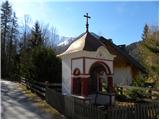 2
2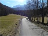 3
3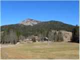 4
4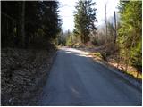 5
5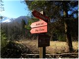 6
6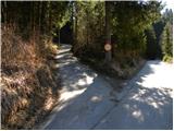 7
7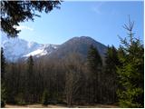 8
8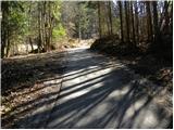 9
9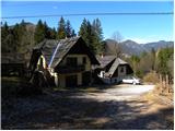 10
10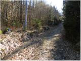 11
11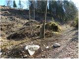 12
12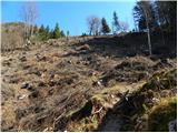 13
13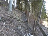 14
14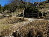 15
15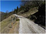 16
16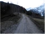 17
17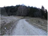 18
18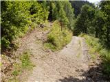 19
19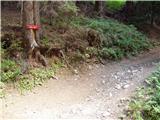 20
20 21
21 22
22 23
23 24
24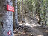 25
25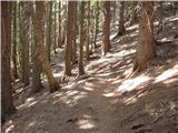 26
26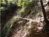 27
27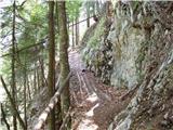 28
28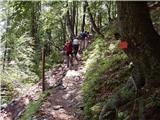 29
29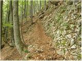 30
30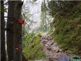 31
31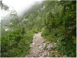 32
32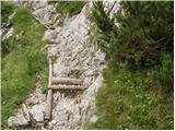 33
33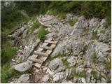 34
34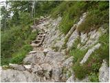 35
35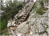 36
36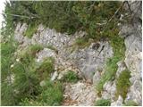 37
37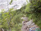 38
38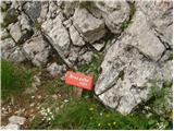 39
39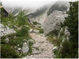 40
40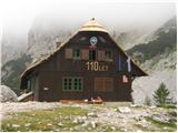 41
41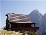 42
42 43
43 44
44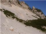 45
45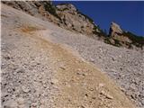 46
46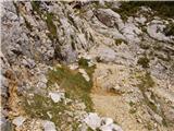 47
47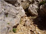 48
48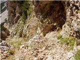 49
49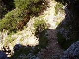 50
50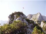 51
51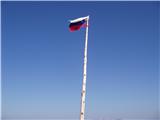 52
52
Discussion about the trail Makekova Kočna - Vratca