Peračica - Peračica waterfall
Starting point: Peračica (457 m)
| Lat/Lon: | 46,3374°N 14,2417°E |
| |
Time of walking: 45 min
Difficulty: easy marked way
Altitude difference: -27 m
Altitude difference po putu: 25 m
Map: Karavanke - osrednji del 1:50.000
Recommended equipment (summer):
Recommended equipment (winter):
Views: 3.600
 | 1 person likes this post |
Access to the starting point:
Leave the Gorenjska motorway at the Brezje exit, then follow the signs for the Basilica of Our Lady of Help of Christians in Brezje and on to the settlement Peračica. Park in front of the sign for the beginning of Peračica at a suitable place along the road.
Path description:
From the parking lot, continue along the asphalt road, going straight ahead at the junctions. After the chapel, which is located just before the end of the settlement, go left towards the peace trail. The way ahead leads along a dirt road, which passes through a large meadow, but when the road turns into a forest, it gradually turns into cart track. Through the forest, follow the signs for the waterfall, and at a small unmarked crossroads go slightly left. After a few minutes of traversing to the left, you reach another dirt road, which continues without any major changes in elevation. When the road starts to descend more visibly, a branch of the Brezjanska cesta mira (Brezjanska cesta miru) branches off to the left, and we continue along the road to the next marked crossroads, where we continue left downhill towards the waterfall (straight ahead Dvorska vas).
From the crossroads onwards, there is a short descent, partly down some steps, and then cross the footbridge Peračica, which is still above the waterfall. On the other side of the stream, there is a short descent down a flight of fenced steps, from which the waterfall can be seen on the left. When the stairs end, there is an information board and a registration box on the left, and it is worth going all the way down to the stream to see the waterfall.
Description and pictures refer to the situation in 2017 (January).

Pictures:
 1
1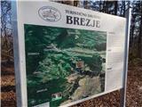 2
2 3
3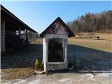 4
4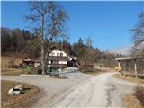 5
5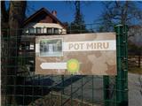 6
6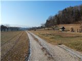 7
7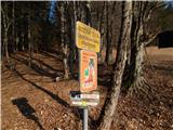 8
8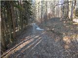 9
9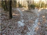 10
10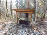 11
11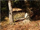 12
12 13
13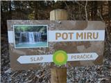 14
14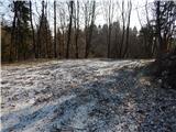 15
15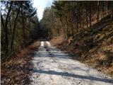 16
16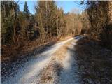 17
17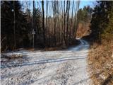 18
18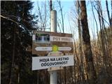 19
19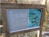 20
20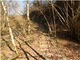 21
21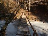 22
22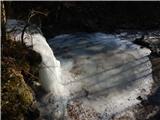 23
23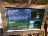 24
24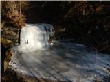 25
25
Discussion about the trail Peračica - Peračica waterfall