Spodnja Kokra - Planina Dolga njiva (via Baba)
Starting point: Spodnja Kokra (530 m)
| Lat/Lon: | 46,302°N 14,4754°E |
| |
Name of path: via Baba
Time of walking: 4 h
Difficulty: easy unmarked way, easy marked way
Altitude difference: 1070 m
Altitude difference po putu: 1170 m
Map: Karavanke - osrednji del 1:50.000
Recommended equipment (summer):
Recommended equipment (winter): ice axe, crampons
Views: 945
 | 1 person likes this post |
Access to the starting point:
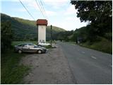
From the motorway Ljubljana - Jesenice take the exit Kranj - East and follow the road towards Jezersko. Just a few kilometres after the Preddvor off-ramp, you will see a transformer on the right-hand side of the road and a parking lot next to it. There are also signs for the Čemšenik Home.
Path description:
From the parking lot, first cross the road carefully and then follow the footpath towards the Čemšenik home. The wide path ascends only significantly to the Polajnar homestead, where you step out onto the road and follow it to the right.
The road climbs steeply just after the house, but it loses its asphalt coating a little higher up. The road then flattens out and turns slightly to the left, where it approaches the Čemšeniškės brook. Cross the stream a little further on and just after it you will come to a marked crossroads, where you continue along the left-hand road in the direction of the Čemšenik home. The road then begins to climb steeply again and after about 30 minutes of further walking leads us to the Čemšenik home.
From the Čemšenik home we continue behind the home along a clearly visible but unmarked path that goes into the forest and starts to climb, first gently then steeply. The path soon leads to a modest viewpoint, where it turns slightly to the right and then climbs crosswise. Higher up the path leads us to the main ridge (view of the Gorenjska plain), where it climbs even steeper and after a few minutes of further walking leads us to the flatter part where the wooden hut (weekend house) stands.
Shortly before the cottage, the path turns to the right and after a few further steps leads us to the registration box at Baba.
From the registration box, we continue along a nicely traceable path, which continues along the occasionally overlooked ridge, from which we initially get a nice view towards Cjanovca, Kočna, Grintovec, Kalški greben and other surrounding hills. The way forward initially continues along the left side of the ridge, and then, after an undistinguished saddle, passes to the right (eastern) slopes of Potoska Gora. There is a cross-climb of a few minutes and then we join the marked path leading from Doma Čemšenik.
Continue upwards and relatively quickly reach the saddle between Potoška gora on the left and the peak of Javorov vrh on the right.
At the saddle there is a marked crossroads where you continue to the right (left Potoška gora, slightly left Planinska koča Iskra na Jakobu (one of the above mentioned paths can be descended) in the direction of Javorje Peak. The path continues along a wooded ridge, only retreating to the right of an indistinct headland. There is a slight ascent, from where we regain some views, and then the path returns to the forest and splits. Here we continue to the left in the direction of Srednji vrh, Kališča and Storžič (straight Javorov vrh 15 minutes) along the path, which after a few further steps leads us to a nice little well. This is followed by a half-hour crossing of the slopes below Javorov vrh, ending at the saddle between the above-mentioned peak and Cjanovca.
Here, at a marked crossroads, continue left in the direction of Hudičev boršt (straight ahead Srednji vrh and Cjanovca, sharp right Javorov vrh) along a path which crosses the slopes further to the left, climbing and descending slightly a few times in between. After about 15 minutes' walk from the last crossroads, emerge from the forest onto the grassy slopes of the Zaplata, over which you continue. The technically easy path leads us along occasionally steeper slopes, where it is dangerous to slip in places, especially in the wet. In the last part before we enter the forest, we are also helped by a small rope, but the path completely lays down behind it. Once in the forest, it is only a short walk to the shelter.
From the shelter, continue westwards, where you will quickly reach the spring in Hudičev boršt, and just after it, a marked crossroads, where you continue straight on (left down the Mačenska path to Mače). There is a short crossing of a grassy slope, and then the path passes into the forest and leads to the next crossroads.
This time continue right in the direction of Cjanovca, Srednji vrh and Malá Grintovec (straight ahead home at Kišče and one of the paths that can be used to descend to Mače) on a path that begins to climb steeply through the forest. The rather steep path leads us higher into a small valley, where the forest thins out and the path is laid. After a few minutes of walking along the valley, the path turns to the right, climbs steeper and, after a short ascent, leads to the huts at Dolgi njivi.
Spodnja Kokra - Čemšenik 50 minutes, Čemšenik - Baba 45 minutes, Baba - Hudičev boršt 1:30, Hudičev boršt - Dolga njiva 55 minutes.

Pictures:
 1
1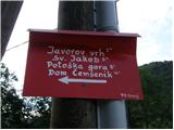 2
2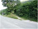 3
3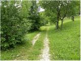 4
4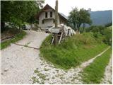 5
5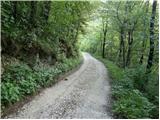 6
6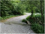 7
7 8
8 9
9 10
10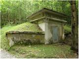 11
11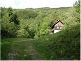 12
12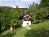 13
13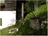 14
14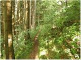 15
15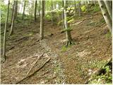 16
16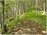 17
17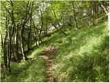 18
18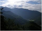 19
19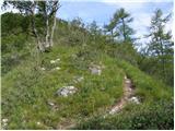 20
20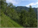 21
21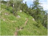 22
22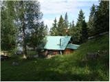 23
23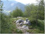 24
24 25
25 26
26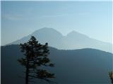 27
27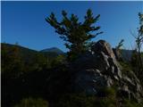 28
28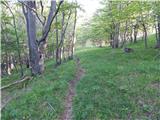 29
29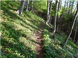 30
30 31
31 32
32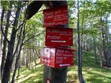 33
33 34
34 35
35 36
36 37
37 38
38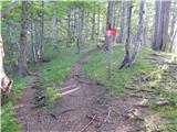 39
39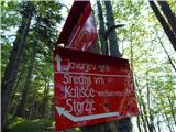 40
40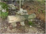 41
41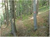 42
42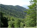 43
43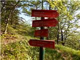 44
44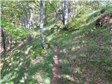 45
45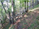 46
46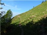 47
47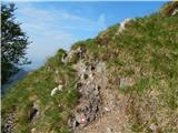 48
48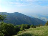 49
49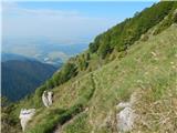 50
50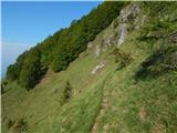 51
51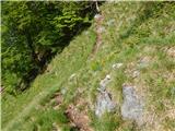 52
52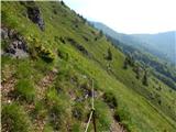 53
53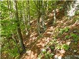 54
54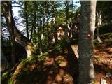 55
55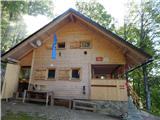 56
56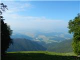 57
57 58
58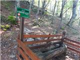 59
59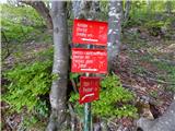 60
60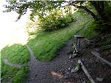 61
61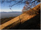 62
62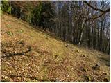 63
63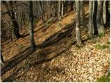 64
64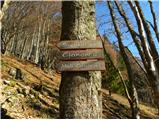 65
65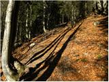 66
66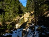 67
67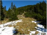 68
68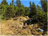 69
69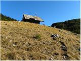 70
70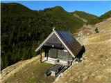 71
71
Discussion about the trail Spodnja Kokra - Planina Dolga njiva (via Baba)