Starting point: Matavun (402 m)
| Lat/Lon: | 45,6627°N 13,9887°E |
| |
Time of walking: 3 h 15 min
Difficulty: easy marked way
Altitude difference: 625 m
Altitude difference po putu: 750 m
Map:
Recommended equipment (summer):
Recommended equipment (winter): ice axe, crampons
Views: 16.433
 | 2 people like this post |
Access to the starting point:
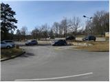
From the motorway Ljubljana - Koper, take the exit Divača and then continue driving towards Škocjanske jame. When you arrive in Matavun, turn left and park in the large parking lot at the entrance to the Škocjan caves.
Path description:
From the parking lot, walk to the children's playground, which is located behind the Škocjan Caves Park building complex, and from there descend the stairs to the marked crossroads. From the crossroads, continue left in the direction of Divača, Vremščica, Senožeč and Nanos (right Artviže, Slavnik and Vremščica along the gorge of the River Rijeka) and continue the ascent along the Škocjan nature trail. After a few minutes, you will reach a picturesque lookout point, from which you will have a view of Vremščica, the nearby Church of St. Kancijan and the Rijeka gorge below. From the lookout point, follow the trail only as far as the nearby beehive farm, and from there continue straight ahead on the marked trail leading to Divača and Vremščica (the trail continues to the right). The trail continues through the forest for a while, then descends slightly and leads to a marked crossroads.
Continue in the direction of Vremščica (straight ahead Divača), which is about 3 hours' walk away. There is a slight ascent and the path leads to the asphalt road in the village of Gradišče pri Divači. Here we continue left (possibly right) and in a semicircle we reach a crossroads where we join another road on the right. Continue straight ahead on the marked dirt road, which passes under the power line and descends gently towards the asphalt road Dolnje Ležeče - Famlje. Cross this road carefully and then continue towards the nearby Divača airport. After a few minutes, the road turns right and we continue straight towards the airport. After 100 m of further walking, you will reach the airport runway, which the marked path crosses, and then continues along the airport runway and on to the edge of the forest (crossing the airport runway and on along the airport runway, and on to the edge of the forest is forbidden).
On the other side of the airport, signs for Vremščica direct you left to cart track, which continues across vast karst meadows. After a while, the path returns to the forest and leads to the railway line.
On the other side of the railway line, we pass through a low underpass, after which the path turns slightly to the right and then climbs gently up to a marked crossroads where the path from Senožeč joins us. Turn right here and continue along the worse road, which continues with a few short ascents and descents, and which runs along the foot of Vremščica. When the minor road turns into a thick forest, it leads us to a crossroads where we join the wider road (you can also drive here - starting point Podgora).
Just cross the road and continue your ascent along the marked path, which initially climbs through the lane of the forest, then gradually transitions to increasingly scenic grassy slopes. The ascent continues along the relatively steep and partly grassy cart track, which offers beautiful views of the Rijeka valley and the surrounding hills. Higher up, cart track turns to the right, and we continue straight on along the footpath, which turns to the left higher up and crosses lane of low forest. The path then returns to the view slope and crosses the ridge Vremščica, where it joins a minor road, which we follow to the right. Walk along the road for a few steps, and then signs point you slightly right onto a footpath that continues through a pine grove. The forest ends quickly and the path returns to the road, which you soon leave. Continue on the marked path, which continues through the forest for a while and then over the scenic, mostly grassy slopes. After a while, we reach a crossroads, where the path from the village Famlje (also the path from Škocjanski caves along the gorge of the River Rijeka) joins us from the right.
Here, continue slightly left along the less distinct cart track, which gradually turns into a forest and turns into a well-traced path. A little higher up, the path from Senožeč joins us, and we continue straight on, climbing through another lane of forest. Higher up, the forest thins out, and the increasingly scenic path quickly leads us to the top of Vremščice.

Pictures:
 1
1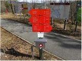 2
2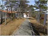 3
3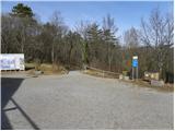 4
4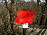 5
5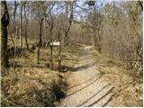 6
6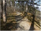 7
7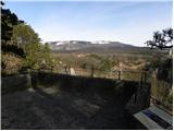 8
8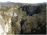 9
9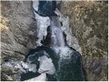 10
10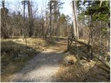 11
11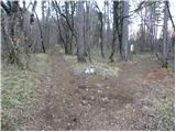 12
12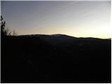 13
13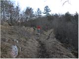 14
14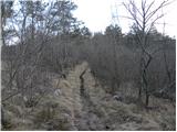 15
15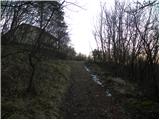 16
16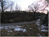 17
17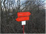 18
18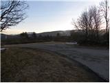 19
19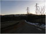 20
20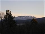 21
21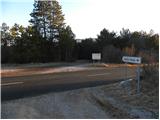 22
22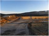 23
23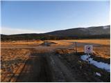 24
24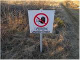 25
25 26
26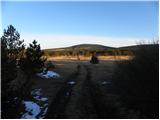 27
27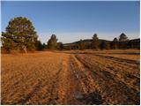 28
28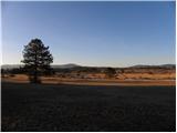 29
29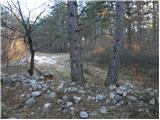 30
30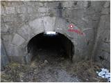 31
31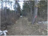 32
32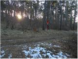 33
33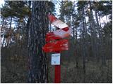 34
34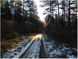 35
35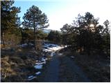 36
36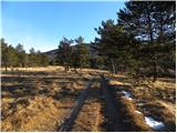 37
37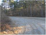 38
38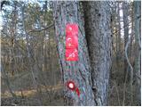 39
39 40
40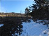 41
41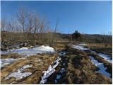 42
42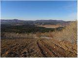 43
43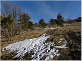 44
44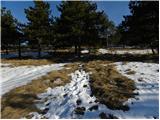 45
45 46
46 47
47 48
48 49
49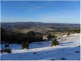 50
50 51
51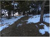 52
52 53
53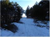 54
54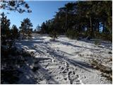 55
55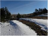 56
56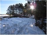 57
57 58
58 59
59 60
60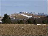 61
61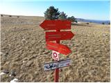 62
62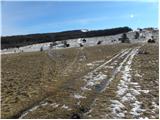 63
63 64
64 65
65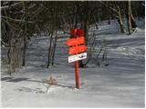 66
66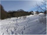 67
67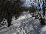 68
68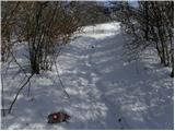 69
69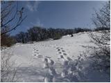 70
70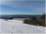 71
71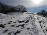 72
72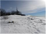 73
73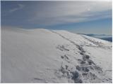 74
74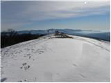 75
75 76
76
Discussion about the trail Matavun - Vremščica
|
| Ana Fila6. 04. 2019 |
Danes prehodili to pot. Pot je dobro označena, na koncu je več možnosti kako priti gor do Vremščice. Edino kar je za dodati je, da kar velik del poti hodiš po makadamski cesti.
|
|
|
|
| Lunca15. 06. 2023 09:37:44 |
Pot v delu okoli letališča pa do železniškega podhoda je zelo slabo označena, naprej odlično.
|
|
|